Weather: Snow disrupts travel as temperatures fall
- Published
Wintry conditions as cold spell hits UK
Snow has caused travel disruption in parts of the UK, after temperatures plummeted overnight.
Police warned drivers to take extra care after wintry conditions led to a series of accidents on the M20 motorway in south-east England.
A yellow "be aware" weather warning for snow and ice is in place from 20:00 GMT on Monday for large parts of the UK.
Forecasters said it was expected to be one of the coldest weeks of the winter so far.
The lowest temperature recorded overnight was -6C (21F), in County Down, while it dropped to -5.6C in Sutherland, and Northumberland.
Kent Police said "heavy snowfall" had affected the M20 near Maidstone and conditions were poor on other roads.
You might also be interested in:
Officers advised drivers to stay in their vehicle with the engine running if they got stuck in snow.
Kent Police said there were two separate crashes in the space of a minute on Monday morning, just before 08:30 GMT, when two vehicles overturned.

Police are warning drivers to take extra care
Between 1-2cm of snow fell in Kent and Essex, and the Met Office has predicted more on Monday evening and Tuesday in the rest of the UK.
Temperatures are due to plunge again overnight into Tuesday - and could sink as low as -11C in the Scottish Highlands on Wednesday.
"Tonight is going to be very cold. There is a front coming into the North West and because we have got lots of cold air there is going to be lots of snow," said Met Office spokesman Martin Bowles.
He said the snow would reach north-west Scotland and Northern Ireland this evening, before gradually working its way into north Wales and north-west England overnight, with some "fairly substantial" settling of snow expected.
The weather warning for snow and ice covers Wales, Northern Ireland, most of Scotland and northern England from 20:00 GMT on Monday until Tuesday afternoon.

Between 1-2cm of snow fell in Kent and Essex on Monday

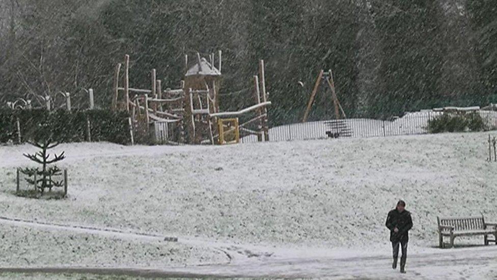
Snow settled in Tunbridge Wells in south-east England
Eastern England can expect disruption after the Met Office issued a yellow warning for snow and ice in the region from 15:00 GMT on Tuesday until 09:30 on Wednesday.
Allow X content?
This article contains content provided by X. We ask for your permission before anything is loaded, as they may be using cookies and other technologies. You may want to read X’s cookie policy, external and privacy policy, external before accepting. To view this content choose ‘accept and continue’.

The cold spell is expected to last until the weekend, with milder weather on the way the following week.

Up to 3cm of snow could fall in Kent
The Local Government Association said 1.5 million tonnes of salt had been stockpiled.
"Gritters will be out treating thousands of miles of roads as the big chill bites, and councils will be keeping people up-to-date about weather forecasts, road conditions and gritting activity," said transport spokesman councillor Martin Tett.
He encouraged people to look out for vulnerable and elderly neighbours, who may need assistance in the cold weather.
- Published16 June 2022

- Published5 February 2018