UK weather: Snow and ice warnings as cold snap set to continue
- Published

People on an early morning walk in the snow near Hexham
Parts of the UK have been hit with snow and ice, amid warnings the cold weather is set to stay.
Yellow weather warnings for snow and ice are in place for Northern Ireland, northwest England and north Wales from midday until 12:00 GMT on Tuesday.
Drivers were warned to leave extra time for morning commutes due to icy roads, with more travel disruption expected.
A sharp widespread frost, with lows of -4C to -8C, is expected overnight into Tuesday.
Snow has hit south-east England and a yellow warning for snow and ice is in place for Scotland until Wednesday.
The Met Office said snow showers and icy conditions might "bring some disruption" and warned it could lead to longer journeys for train passengers and drivers.
BBC forecaster Billy Payne said a few centimetres of snow had fallen in parts of Scotland and northern England overnight, even on low ground - with 18cm (7in) recorded at Loch Glascarnoch in Scotland.
Further frost and ice risks are expected over the next few nights and daytime temperatures should stay low, he said.
But BBC forecasters said major weather disruption, like in December, was not expected.
Allow X content?
This article contains content provided by X. We ask for your permission before anything is loaded, as they may be using cookies and other technologies. You may want to read X’s cookie policy, external and privacy policy, external before accepting. To view this content choose ‘accept and continue’.
Met Office meteorologist Craig Snell warned Monday morning commuters to leave plenty of time for their journeys, due to "a risk of snow on high ground and slippery surfaces on lower areas".
He added: "This could be a problem during rush hour, it could cause a few problems on the roads. The risk of flooding is still there."
A Met Office yellow warning for ice, covering Northern Ireland, northern Wales, northern England, northern Midlands and southern Scotland, was in place until 10:00.
Snow has also fallen across the south east of England after a yellow warning was in place for Kent and Canterbury until 08:00.
BBC forecasters said the snow in south east and northern England would ease throughout the morning.
Mr Snell said most of the nation would be dry with sunny spells through the rest of Monday.
The rest of the week is predicted to be cold with patchy showers, particularly in northern areas, until temperatures rise at the weekend.
A yellow warning for ice has also been issued for south west England from midnight until 09:00 on Tuesday.

A woman walks her dog through snow in Hexham
In northern Scotland, a yellow warning for snow and ice covers the area until 10:00 on Wednesday.
All schools and nurseries in Shetland have closed after overnight snow fell across most of the islands.
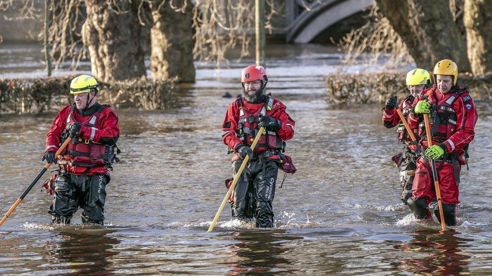
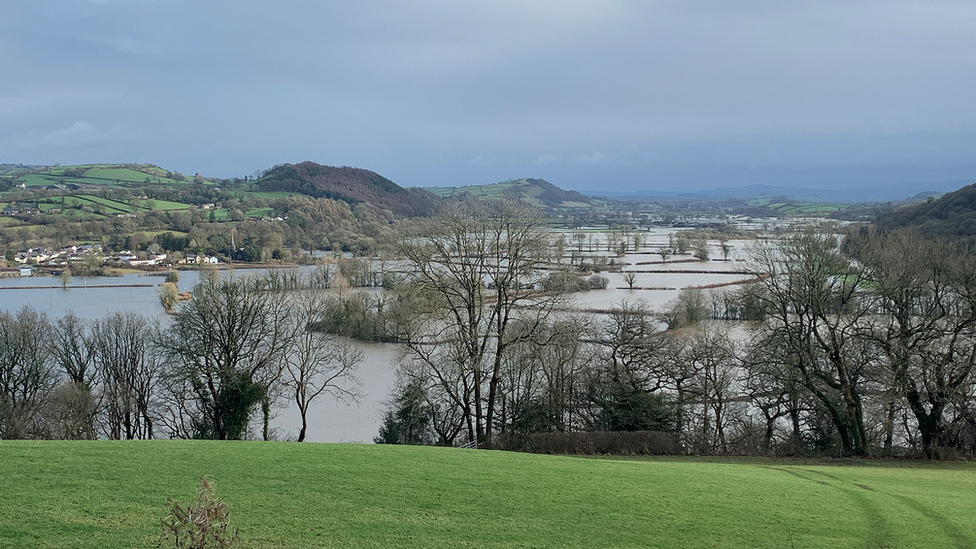
The cold snap comes after widespread flooding left parts of the UK submerged over the weekend - with more than 106 flood warnings and 172 flood alerts still active across England.
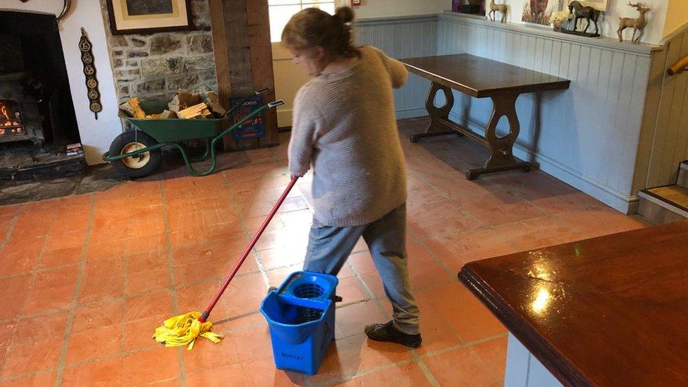
Sarah Cook, from the Environment Agency, said workers on Monday would continue dealing with flooding in the areas which were worst hit by the weekend deluge.
She added the rain on Sunday night in the south of England could give rise to the possibility of a minor risk of flooding to isolated properties, and she advised people to to stay away from swollen rivers and to avoid driving through flood water.
The Met Office's Rachel Ayres said a widespread frost expected overnight could see some flood water on roads freezing.
This "could pose an ice risk" on Tuesday, she said.
Rod Dennis from the RAC said that after the floods last week "it's now ice that poses the biggest danger to drivers".
He warned motorists on rural roads which have not been gritted to be careful and slow down.
"Although this week's cold snap will be much briefer than the freezing conditions we saw in December that led to the RAC's busiest week ever, we're still expecting to see a big increase in breakdowns", he added.

The scene in York at the weekend where rescue workers needed a boat to navigate floodwaters


- Published14 January 2023
- Published13 January 2023
- Published15 January 2023