East Anglia's World War Two airfields photo project begins
- Published

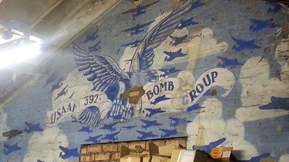
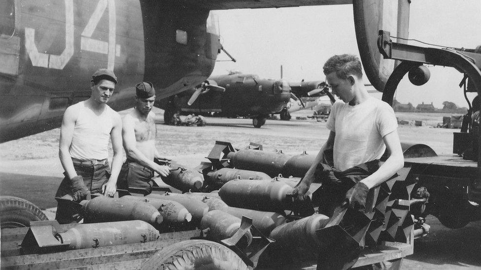
Bassingbourn in Cambridgeshire was one of 70 airfields used by the USAF in East Anglia during WW2
An appeal has been made for photographs of East Anglian airfields used by the United States Air Force as part of a project to record their history.
Some of the airfields have become airports, some have new commercial uses, while others have become fields.
Eighth in the East, external has been given £500,000 by the Heritage Lottery Fund to document the history of 70 sites.
The Now and Then photo project aims to compare World War Two photographs with current ones.

The current Parham airfield control tower museum in Suffolk (left) was operational in World War Two (top right), but derelict in 1977 (bottom right)

The project has little photographic record of the current state of the former Bovingdon airfield in Hertfordshire

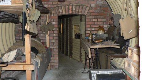
Ridgewell airfield near Halstead in Essex has the remains of buildings and roads
David Cain, project manager, said: "We want people to engage with their local landscape - to have a clear connection via local history.
"It's mainly about photographing buildings, but while some buildings have been transformed for use by private companies such as airports or business parks, at some former airfields there is nothing left apart from the remains of concrete runways or perimeter tracks.
"We already have some modern photos from Norfolk and Suffolk, but not many from Essex, Cambridgeshire, Hertfordshire or Bedfordshire."
The Eighth in the East said it wanted to build up a photo archive online and for its learning packs.

Trees have grown at RAF Watton in Norfolk where there were once bomb storage buildings

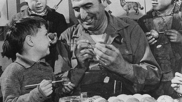
The project has a picture an airman at Thurleigh airfield in Bedfordshire, but no modern-day photos
- Published14 June 2014
- Published20 May 2014
- Published25 May 2014
- Published17 September 2013
- Published22 February 2012