Google captures virtual Hadrian's Wall and Pennine Way
- Published

The 360-degree imagery allows people to go on a self-guided tour of the landscapes
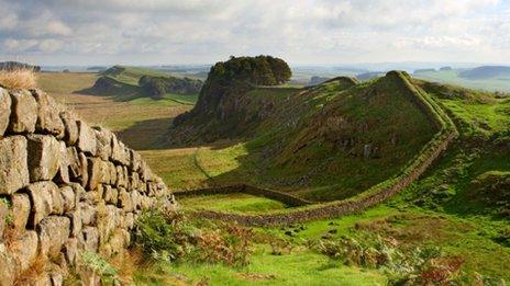
Virtual versions of Hadrian's Wall and the Pennine Way have been added to Google Street View.
The Northumberland National Park Authority (NNPA) collected 360-degree images of the remote locations using the tech giant's Trekker equipment.
Volunteers captured parts of the destinations using backpacks fitted with a 15-angle-lens camera.
NNPA Chief executive Tony Gat said he hoped it would encourage people to explore the areas first-hand.
Hadrian's Wall stretches for 70 miles (118km) from Wallsend in the east, to Solway Firth in the west.

Volunteers carried the Google Trekker backpack which is fitted with a 15-angle-lens camera
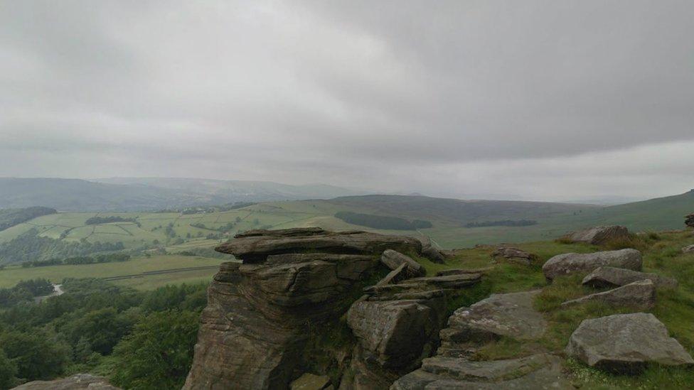
The Pennine Way walking route runs for 268 miles (431km) from Edale in Derbyshire through to the Yorkshire Dales, Teesdale, the North Pennines and the Scottish Borders.
Previously, only roads in both locations were viewable via Street View.
The Trekker equipment is designed to capture areas which cannot be reached by Google's camera-equipped cars and tricycles.
Landmarks including the Peak District, Grand Canyon and the Taj Mahal already feature on the service.
- Published6 November 2014
- Published24 April 2015
- Published2 April 2014