Our rarest wetland habitat is disappearing
- Published
- comments

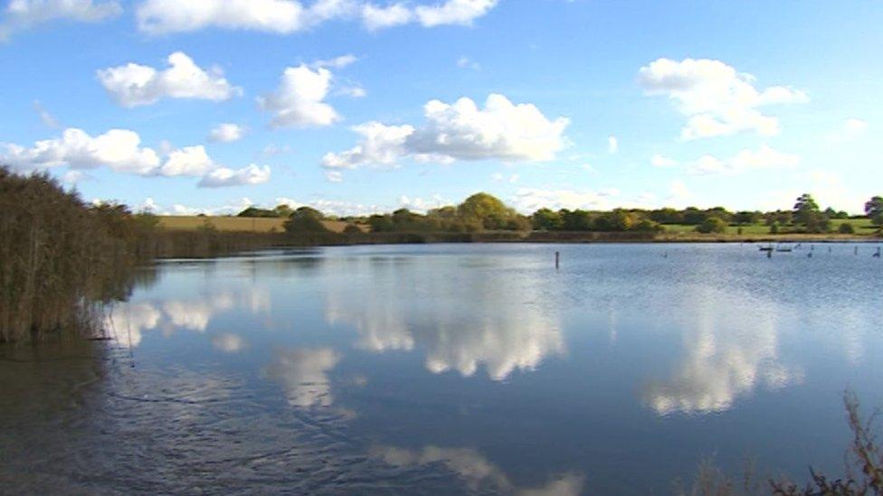
The collection of lakes and pools at Upton Warren is known as the Christopher Cadbury Wetland Reserve
Just off junction 5 of the M5 is a collection of lakes and pools known as the Christopher Cadbury Wetland Reserve, external.
It's one of the most interesting wildlife sites in Worcester, probably the whole country, and all thanks to what is going on deep under the ground.
Because deep under your feet in this part of the Midlands, there's plenty of salt and lots of water which means the shallow pools are fed with brine and end up as salty as the sea.
That changes completely the type of wildlife you find here. Around the edges of the shallow, salty pools you get salt marsh covered with coastal plants like sea spurrey.
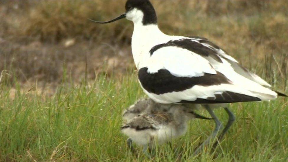
In the middle, you find the reserve's crowing glory, the salt water-loving avocet, external.
It's the only site inland where you have a chance to see these feisty little birds - familiar to many as the bird used in the RSPB logo, external.
Disappearing habitat
But there's a huge problem on the site. In the last few years the amount of salt marsh has been disappearing.

In the middle of the pools, you find the reserve's crowing glory, the salt water-loving avocet
Since the 1970's perhaps as much as 90% of the marsh has been lost and soon there could be none left.
Rather than a shallow, salty pool, the site is turning into a deep lake. If that happens then the reserve will lose its unique habitat and the wildlife that loves it here, including the avocets.
So what's gone wrong? Well it's a combination of factors.
Deep under the ground the water forcing its way through the salt deposits is causing erosion and subsidence. So the bottom of the pool is dropping making the water itself deeper.
Worcestershire Wildlife Trust who manage the site have also perhaps kept the water levels higher than was good for the salt marsh although, with the laudable aim of keeping the local population of wading birds happy.
It's not something we talk about enough, but managing a wildlife site is a huge balancing act with all sorts of competing demands on any reserve.
Perhaps the biggest problem with tackling what's gone wrong here is that those in charge actually know remarkably little about how the site actually works.
Mapping lower levels
So to understand more about the hydrology of the pools, springs and ground water, the trust has been slowly dropping the water level.

In the last few years the amount of salt marsh has been disappearing
Autumn is really the only time to do this safely, the avocets have migrated and the rest of the birds have long finished nesting.
The University of Worcester has been helping out with an aerial survey using a kite, and on the ground volunteers are mapping what the lower water levels reveal.
Meanwhile, for the first time digital depth gauges and monitors to measure just how salty the pools are have been positioned in the water.
All of this work will allow the teams to map and track exactly how the site behaves and come up with an "ideal" water level for the reserve, with the aim of hopefully increasing the amount of salt marsh and the wildlife that loves it.
This entire site was created by subsidence after brine extraction stopped in the area.
Until the 1940s it was just farmland, indeed you can still see the fence posts from the field boundaries sticking up out of the water.
The amazing salty landscape that was produced has created a unique wildlife reserve but if it isn't managed properly it could just as quickly disappear.