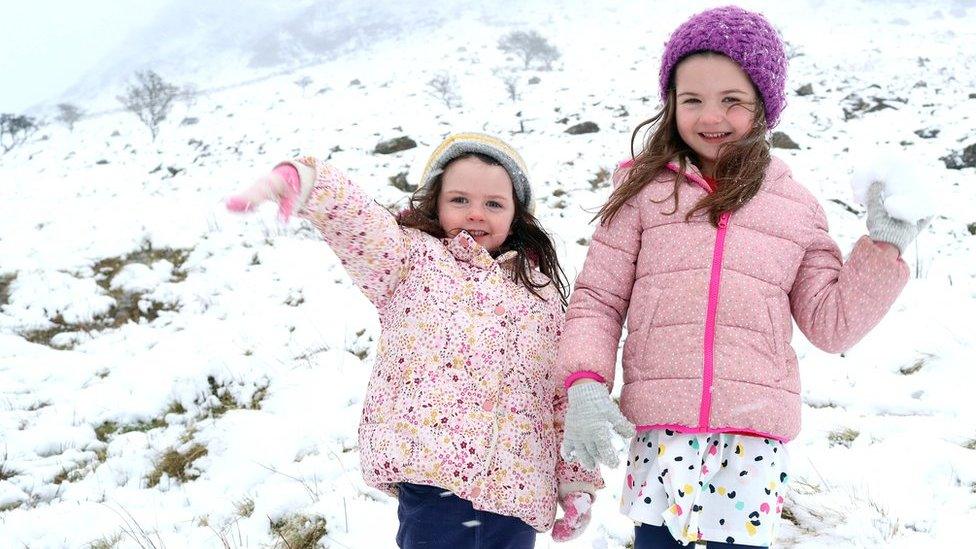
New Year snow flurries fall across England
- Published
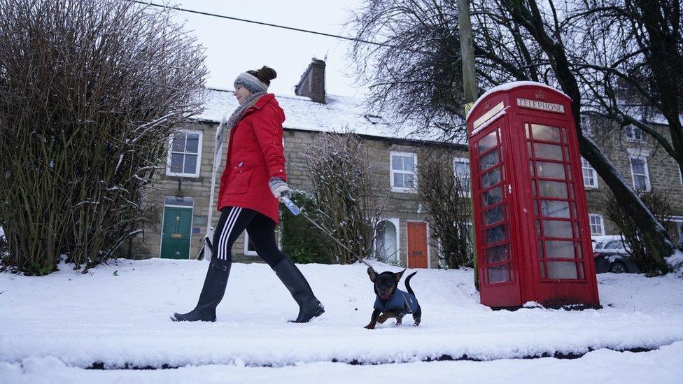
A woman takes her dog for an early walk in Allendale in Northumberland
Many parts of England have seen snow flurries accompany the arrival of New Year.
Areas which welcomed in 2021 with several centimetres of snow included Northumberland, parts of Yorkshire, Nottinghamshire and Derbyshire.
The Met Office has warned worse is to come with more wintry showers forecast.
Driving conditions on many roads will become "hazardous" as the cold weather continues next week, it said.
Several football matches were cancelled this weekend due to frozen pitches.
Ground staff at West Bromwich Albion were faced with heavy snowfall prior to their Premier League match with Arsenal at The Hawthorns on Saturday evening.
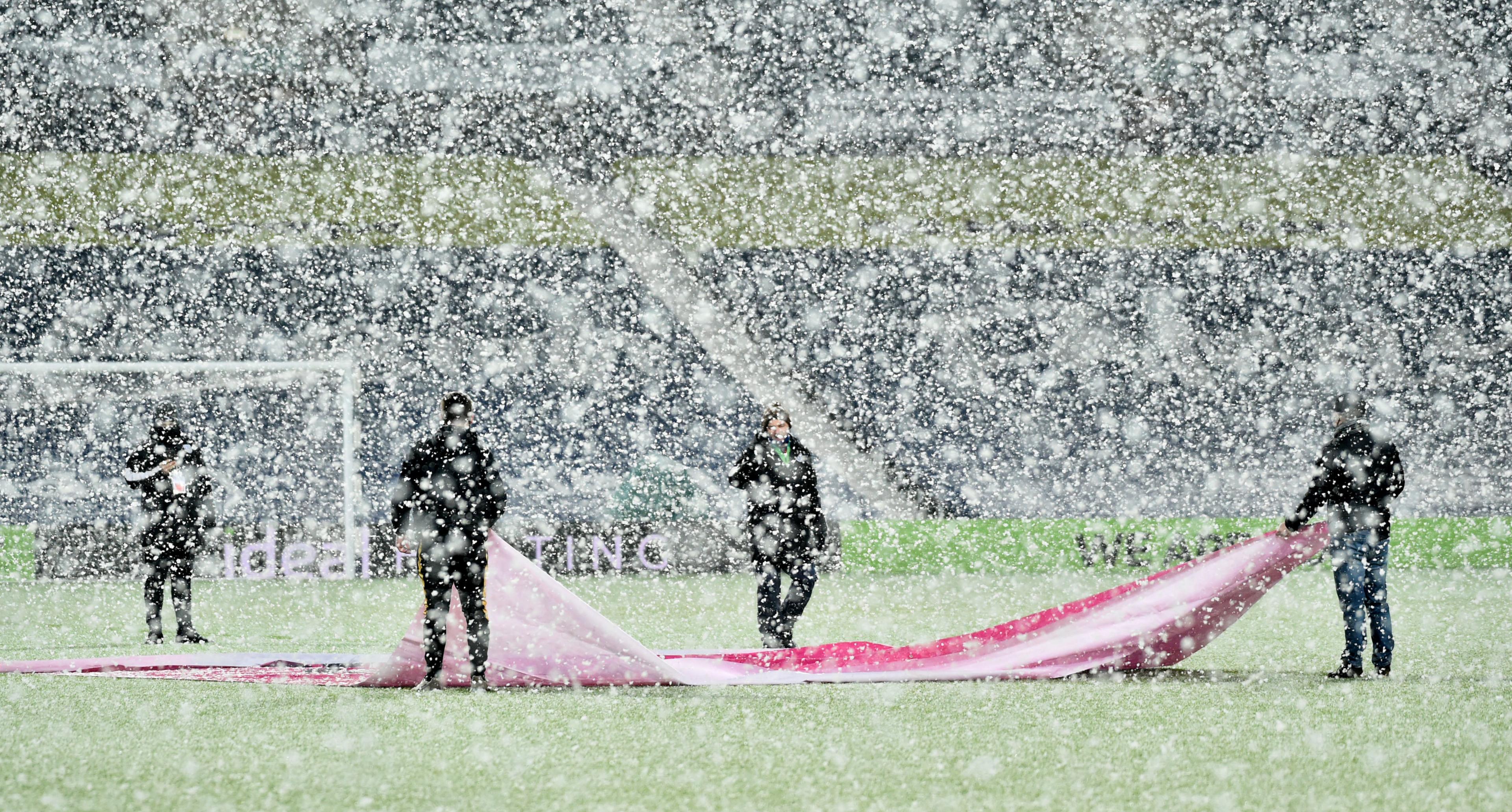
Ground staff clear snow from the pitch prior to the Premier League match at The Hawthorns, West Bromwich on Saturday
Further snow is predicted mainly inland and particularly over higher ground where above 200-300m a further few centimetres of snow is possible.
The chill in the air is due to high pressure to the north of the UK, which is dragging air from the east "which at this time of year is cold", the Met Office said.
The cold easterly winds are set to develop next week, bringing wintry showers - particularly around eastern parts - while hazardous freezing fog, frost and ice risks will all continue, forecasters said.
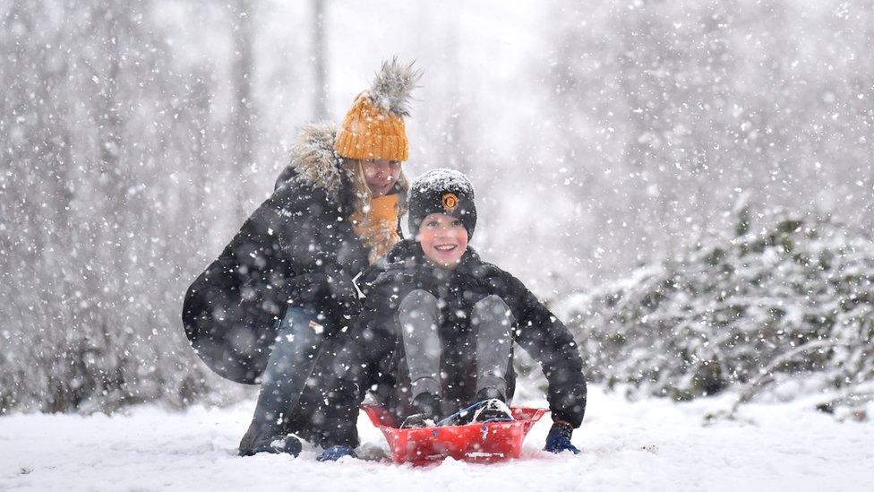
Sledging in the snow around Silverdale Country Park in Newcastle-under-Lyme
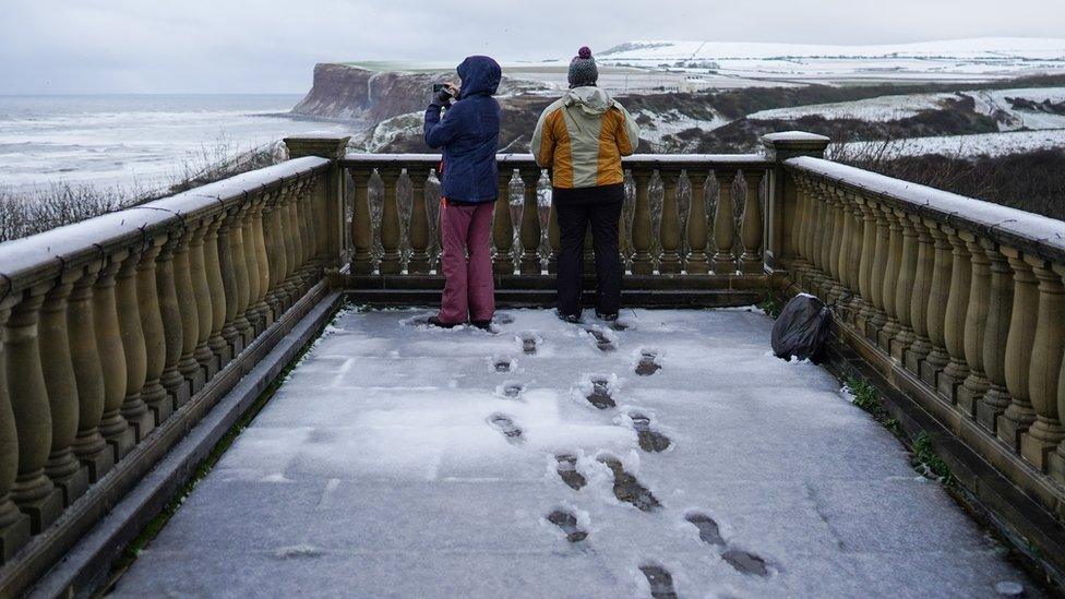
Two women looking out over the snow covered Huntcliff sea cliffs in Saltburn on the North Yorkshire coast
Meteorologist Alex Burkill said: "Obviously it's very cold and it's going to stay cold through this week.
"Whilst there will be some wintry hazards around, it's not really until the end of the week until we see any significant snow."
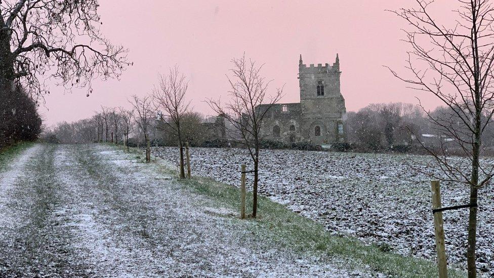
Colston Bassett in Nottinghamshire got a light dusting of snow on Saturday
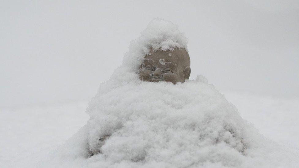
A buried garden Buddha after heavy overnight snow in Buxton in Derbyshire
RAC Breakdown spokesman Simon Williams said: "The message for those who have to drive is to adjust their speed according to the conditions and leave extra stopping distance so 2021 doesn't begin with an unwelcome bump and an insurance claim.
"Snow and ice are by far the toughest driving conditions, so if they can be avoided that's probably the best policy."
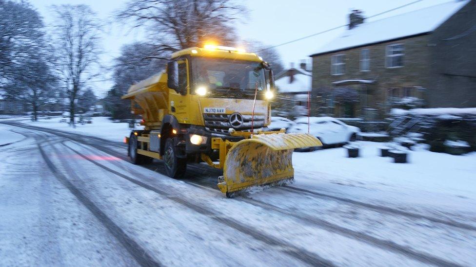
A plough clears snow from the roads in Allendale, Northumberland
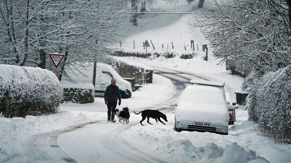
A man takes his dogs for an early morning walk through the snow in Allenheads, Northumberland
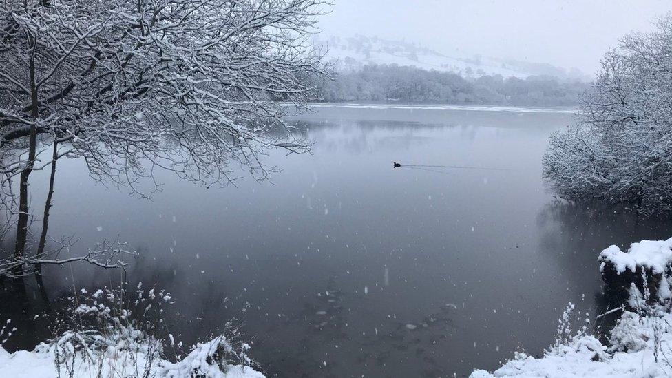
Waterfowl were still active at a snowy Chapel en le Frith in the Derbyshire Peak District
Related topics
- Published3 January 2021
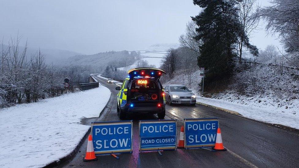
- Published2 January 2021
- Attribution
- Published2 January 2021

- Published27 December 2020
