Storm Ciarán: Violent winds lash southern England and Channel Islands
- Published
- comments
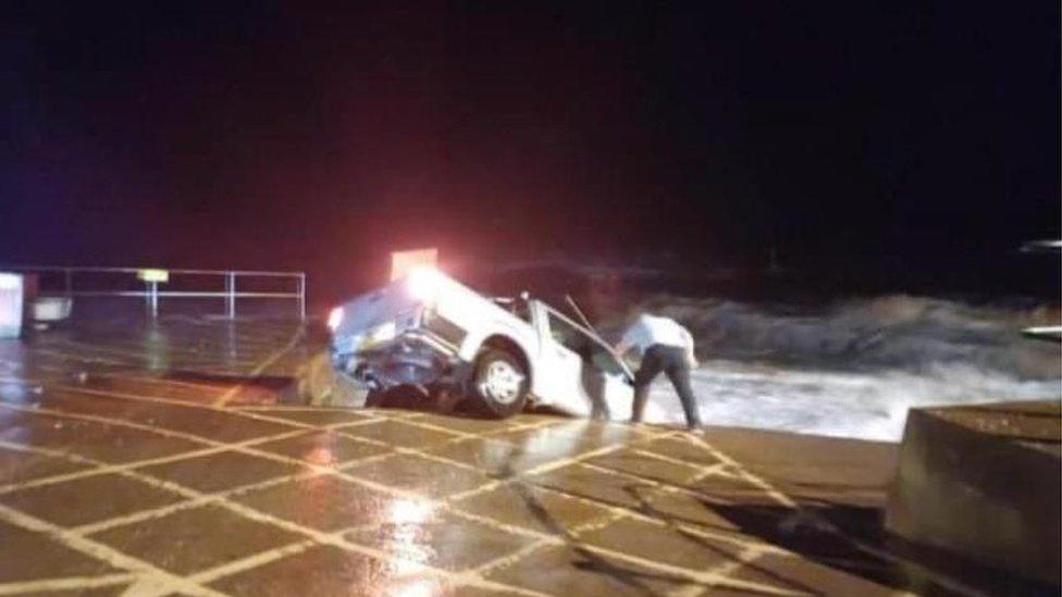
Devon and Cornwall Police said nobody was in the vehicle when it washed off the promenade
Lives could be put at risk in the UK and parts of the British Isles as Storm Ciarán hits, forecasters have warned.
Powerful winds and rain are already lashing southern England and gusts of up to 95mph (152km/h) are expected to hit the Channel Islands.
The Met Office has warned of travel disruption and damage to buildings, prompting the declaration of a major incident in Hampshire.
There are also 33 flood warnings in place , externalacross England.
A red wind warning, the highest level, has been issued by Jersey Met for Wednesday night into Thursday.
Storm-force gusts, heavy rainfall and coastal flooding are expected in the Channel Islands, where conditions could be some of the worst seen in decades and flood defence measures have been put in place.
Yellow and amber warnings for wind and rain - indicating potential risks to life and property - have been issued by the Met Office for parts of England and Scotland.
An amber warning of wind has been issued for South West England from 03:00 GMT to 11:00 on Thursday, and for the East of England and the South East from 06:00 to 17:00 on Thursday.
Heavy rain was pushing into parts of Cornwall and Devon on Wednesday evening. The Met Office said there was some uncertainty around the path of the storm, but the "greatest impacts (are) likely along the south coast".
The Met Office says the UK has provisionally recorded the joint-sixth wettest October on record, after the heavy rain brought by Storm Babet. Eastern Scotland had its wettest October since records began in 1836, with 82% more rain than its average.
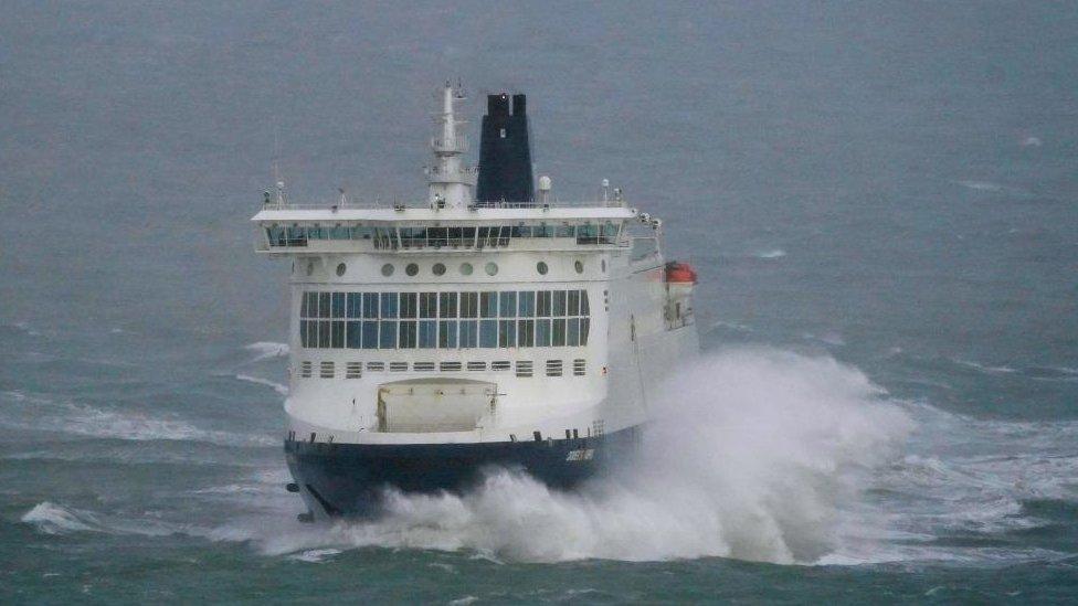
A DFDS ferry leaves the Port of Dover in Kent
Gusts are likely to reach 70-80mph (113-129 km/h) in some coastal areas in southern England, and in a few coastal spots may exceed 85mph (123 km/h). And20-30mm of rain is expected in southern and western areas.

An amber warning of wind has been issued for South West England from 03:00 to 11:00 on Thursday, and for the East of England and the South East from 06:00 to 17:00 on Thursday.
Other key developments include:
Conditions on the Channel Islands are predicted to be the worst in more than 36 years. Main coastal roads on Jersey are closed until Thursday afternoon, and schools and the airport will shut down on Thursday. Some 200 one-tonne bags of sand have been placed at the top of slipways along the south coast, and delays to post are expected
Guernsey and Alderney airports will close on Thursday
People in Jersey and Guernsey have also been asked not to stockpile goods after supermarket shelves were stripped
Storm Ciarán has been declared a major incident in Hampshire, with schools in Southampton advised to close on Thursday
Southern Railway, Southeastern, ThamesLink, and Gatwick Express have urged commuters to work from home on Thursday, warning they will be unlikely to provide rail replacement transport
A handful of arrivals and departing flights have been cancelled at Southampton and Exeter airports.
Six overnight crossings on the Portsmouth to Fishbourne route have been cancelled by ferry company Wightlink.
Dorset Council urged people to avoid coastal areas. Bournemouth and Boscombe Piers have been shut, while the lifting of the Twin Sails bridge in Poole has been suspended. Some schools are closed
In Devon, more than 170 schools will close or open late on Thursday
A caravan park in Wales has evacuated residents following a warning that flooding could pose a risk to life
Alerts for the Essex coast have been upgraded to amber from 06:00 to 17:00 on Thursday
Residents in Swindon have been handed more than 200 sandbags, while council teams clear gullies and drains
A car was washed into the sea in Sidmouth, Devon. Police said no one was in the vehicle at the time
The power of the storm is created by a phenomenon known as explosive cyclogenesis - sometimes dubbed a "bomb cyclone" - where an area of low pressure rapidly deepens and strengthens, causing the weather system to violently rotate.
The amber warnings for wind could cause structural damage, the Met Office warned.
It said gusts could blow off roofs, bring down powerlines and disrupt transport routes.
Flying debris could be a danger to life, it said, and there is the potential for large waves and beach material being thrown onto coastal roads.
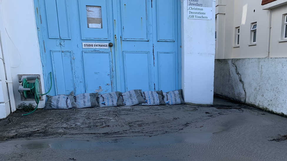
Some businesses and residents in Guernsey have been putting out sandbags in preparation
There are also yellow warnings for rain for eastern England, London, the South East, South West, North West, West Midlands and Wales from 18:00 on Wednesday.
And yellow warnings for wind are in place for the East of England, London, South East, South West and Wales from 21:00 on Wednesday to 23:59 on Thursday.
In Scotland, a yellow warning for rain has been issued for the south west and Lothian Borders from 06:00 Thursday to 06:00 Friday. An earlier warning for rain in Northern Ireland has been cancelled but the region has already seen some flooding.
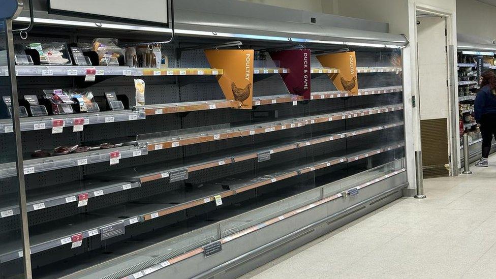
Shelves have been left empty at supermarkets across Jersey, including Waitrose in St Brelade
East Devon District Council said a temporary barrier of sand and a fabric membrane were being put in place to reduce the impact of waves from the storm.
With trees still in full leaf and the ground already saturated, Devon County Council said there was a high chance that there would be a lot of debris on the roads and a risk of highway flooding.
It said it would have additional staff monitoring the highways, as well as tree surgeons and gully jetters on standby to keep drains and gullies as clear as possible.
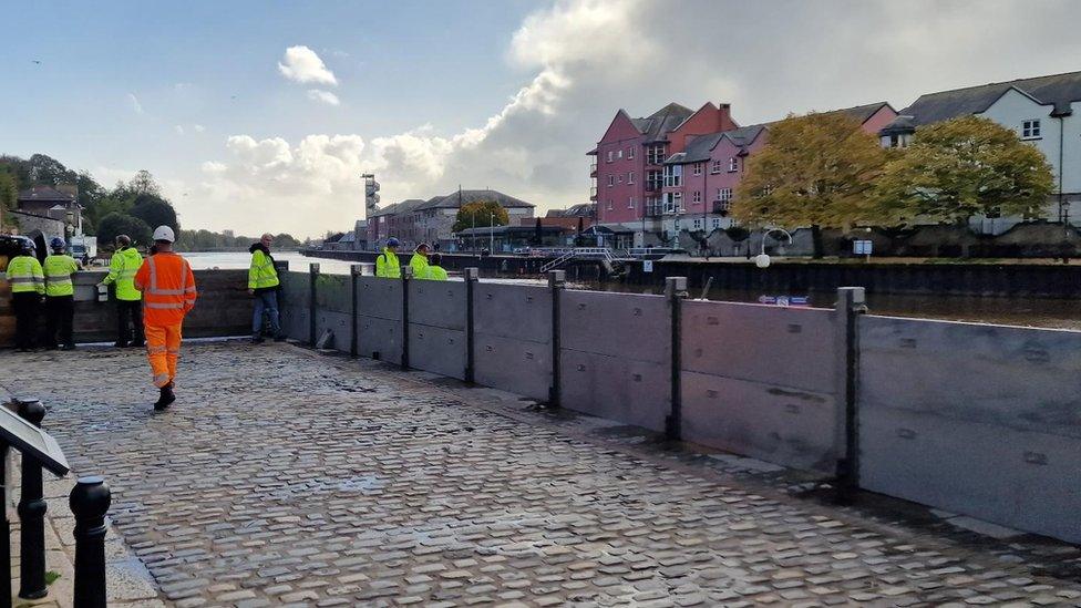
Flood defences have been erected at Exeter Quay
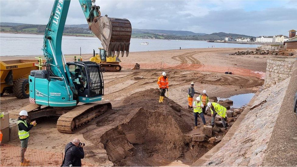
Work is being carried out on Exmouth's seawall to reduce the impact of waves until full repairs can be done
Storm Ciarán follows localised weather-related incidents last weekend when large waves brought down coastal barriers in North Tyneside and homes were evacuated and shops were damaged when a village in County Durham was deluged by "several feet of water".
In West Sussex on Sunday, a caravan park in Bognor Regis was submerged, the town's Tesco supermarket car park was flooded, and the roof of a house was ripped off in heavy winds that residents described as like a "tornado".
Experts say a warming atmosphere increases the chance of intense rainfall and storms.
However, many factors contribute to extreme weather and it takes time for scientists to calculate how much impact climate change has had on particular events - if any.
The world has already warmed by about 1.1C since the industrial era began and temperatures will keep rising unless governments around the world make steep cuts to emissions.

How is Storm Ciarán affecting you? If it is safe to do so, get in touch.
WhatsApp: +44 7756 165803, external
Tweet: @BBC_HaveYourSay, external
Please read our terms & conditions and privacy policy

Related topics
- Attribution
- Published1 November 2023
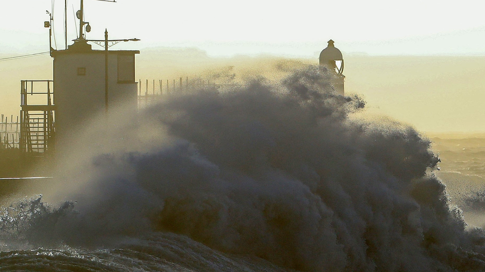
- Attribution
- Published30 October 2023
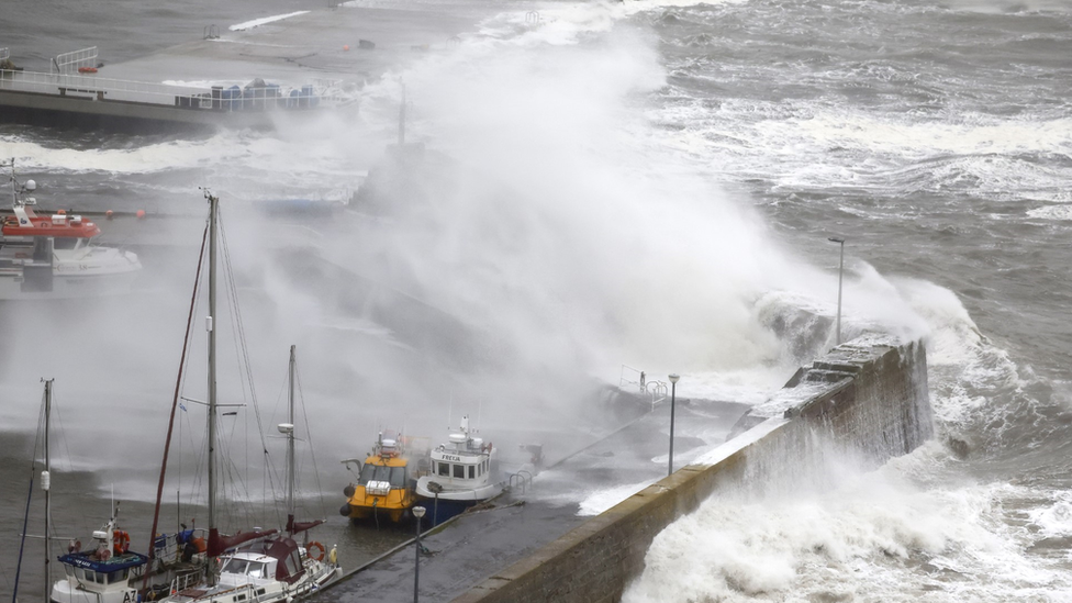
- Published30 October 2023
