Historic England: 100 years of aerial images go online
- Published

The Encaustic tile works, the Royal Staffordshire Pottery and the Newport Pottery, in Burslem, Stoke-on-Trent, as seen in 1934
Landmarks in the West Midlands region feature among more than 400,000 aerial photographs being made available online.
Historic England has launched its Aerial Photography Explorer tool, external, which allows people to examine how landscapes have changed during 100 years.
Ironbridge, Stoke-on-Trent potteries and Coventry all feature.
Images will be added as more of the six million aerial photos in the Historic England archive are digitised.

This photo shows former hydro-electricity works Powick Mills and Powick Bridge, which by the spring of 2018 was nearly consumed by flooding
Among the images available are photos of Powick Bridge in Worcestershire.
Monks constructed the original bridge before 1447, but the two arches over the brook were deliberately broken down in 1651 as part of Worcester's defences during the Battle of Worcester and rebuilt during the 17th Century, Historic England said.

A prestigious building would have sat on the central square platform at the medieval Blithewood moated site
Also included is the medieval Blithewood moated site in Staffordshire. Historic England said the moats were intended as a status symbol rather than defence and also stated that most moated sites were built between 1250 and 1350.

Sherbourne has a Neolithic cursus and an Iron Age enclosure
In one image, a long rectangular shape marks the presence of a Neolithic cursus at Sherbourne, Warwickshire, with cursus monuments "generally thought of as enclosed paths or processional ways", Historic England said.
To the right of the cursus is a larger enclosure with curved sides and a smaller curved enclosure inside. It is thought to be surrounding a farmstead dating roughly from the Iron Age or Roman periods.

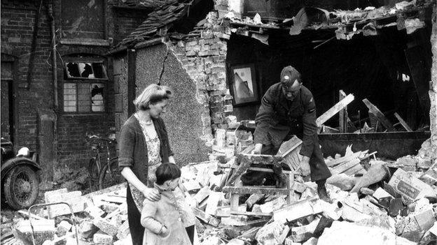
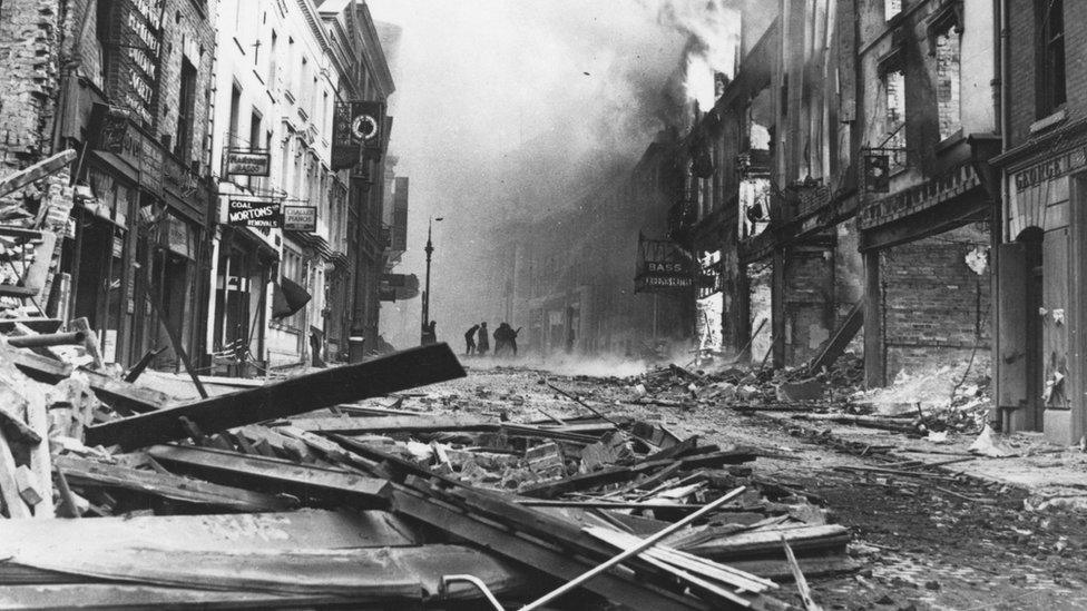
The effects of the Coventry Blitz can be seen in 1948, with the ruined cathedral at the centre of the photo

An explosion at an underground bomb storage depot at RAF Fauld in Staffordshire killed 70 people in 1944
Images from 1919 to the present day have been added to the tool, covering nearly 30% of England.
About 300,000 images are the work of Historic England's aerial investigation and mapping team, which was established in 1967.

A photo from 1934 shows what is now the Ironbridge Gorge World Heritage Site

Birmingham's Bullring and St Martin’s Church area as seen in 1931

Follow BBC West Midlands on Facebook, external, Twitter, external and Instagram, external. Send your story ideas to: newsonline.westmidlands@bbc.co.uk, external
- Published3 September 2019
- Published13 November 2015
- Published27 November 2014