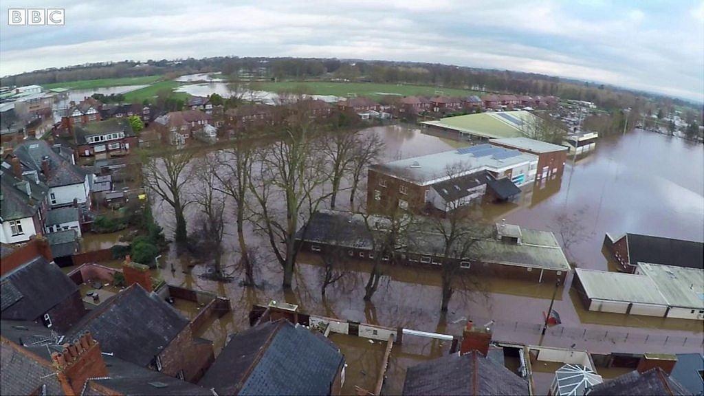
Storm Desmond: Study says flood was 'largest in 600 years'
- Published
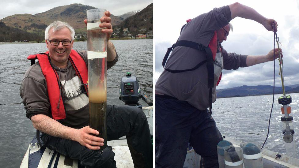
Richard Chiverrell took sediment samples from Bassenthwaite lake after the 2009 and 2015 floods
Floods that hit northern England during Storm Desmond were the most extreme in 600 years, a new study claims,
Researchers compared sediment from Bassenthwaite Lake in Cumbria, taken after the December 2015 storm, with records dating back 558 years.
The study, external found larger sediment grains were deposited in the lake from nearby hills and streams, indicating recent flooding was much more extreme.
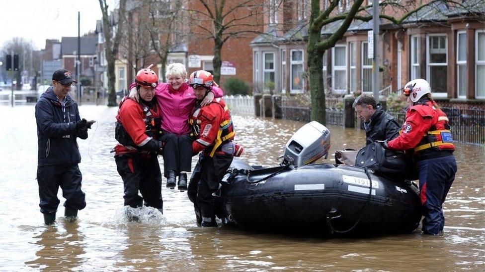
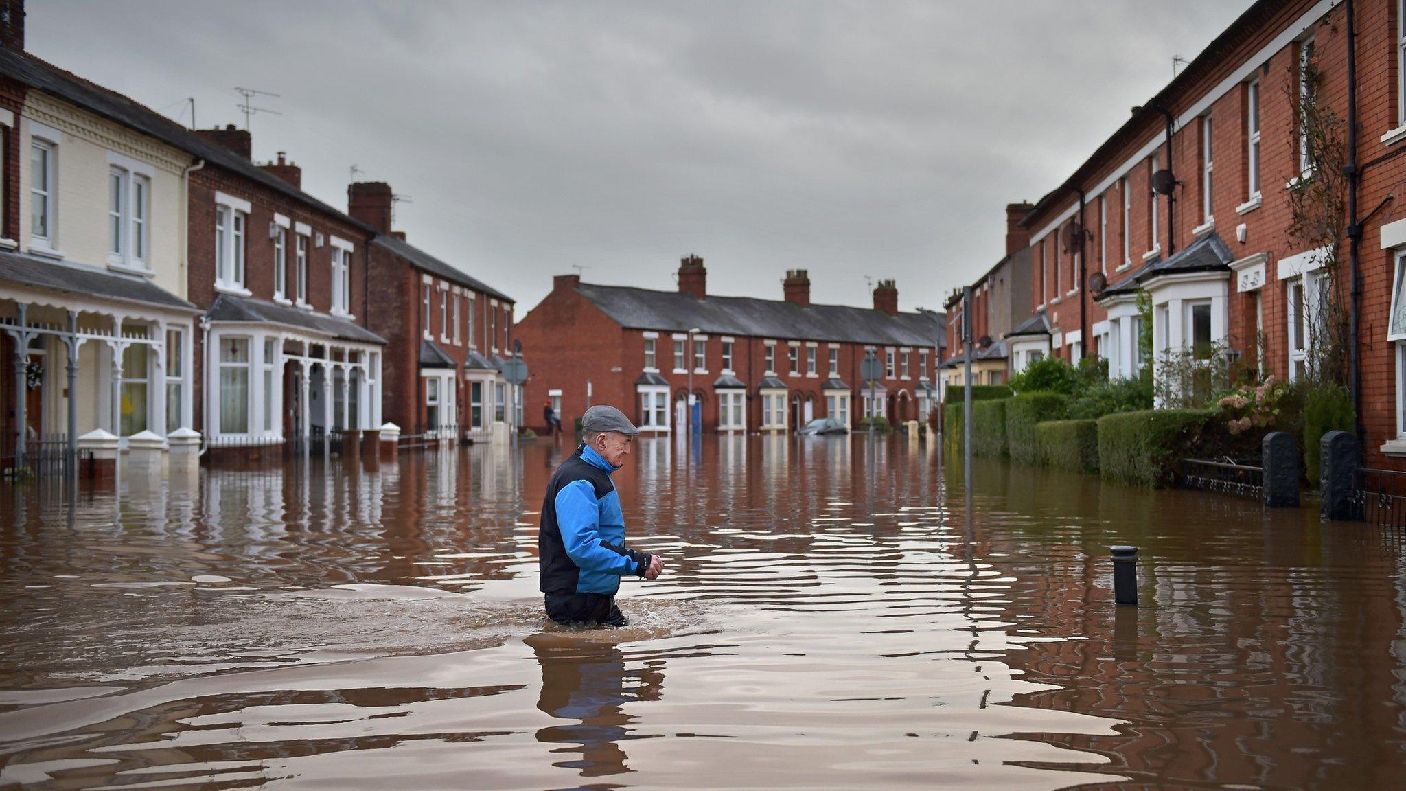
Storm Desmond led to thousands of homes and businesses being flooded.
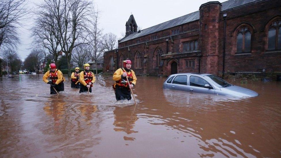
Emergency workers walk through floodwater in Warwick Road, Carlisle
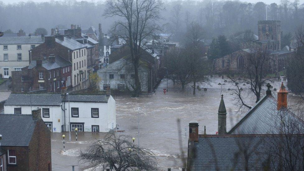
Appleby was one of the worst affected areas in the 2015 storm
The storm saw more than 341mm (13ins) of rain fall in parts of Cumbria in just 24 hours and left an insurance bill of more than £1.3bn.
The research, which also looked at sediment samples taken after severe flooding in 2009, is published in the journal Earth Surface Processes and Landforms.
Authors claim the findings point to the impact that climate change is having on the frequency and magnitude of extreme weather events.
Richard Chiverrell, professor of physical geography at Liverpool University's School of Environmental Sciences, said: "A distinct layer of coarser sediment is left in the lake sediment record as material washes in from the surrounding hills and streams providing researchers with a means of recording each flood event.
"Sediment layers with the largest grain sizes reflect flooding that was higher energy and more extreme in magnitude.
"The unprecedented nature of the recent phase of extreme floods accords with statements from the Environment Agency that climate changes and associated impacts on the frequency and magnitude of extreme events are one of the greatest challenges facing our society.
"By establishing long term flood frequency models that use both sediment records and river flow data, we hope to be able to improve our ability to quantify flood risk and better support flood risk management in the UK and more widely."
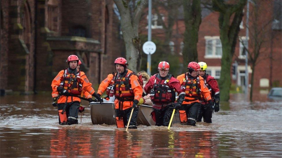
The Army was called in to help the emergency services during Storm Desmond
Prof David Sear, of Southampton University's school of geography and environmental science, added: "What we have been able to do for the first time, is take sedimentary records from lake beds and convert them into the kind of data used by flood risk managers.
"These are the events that cause most damage and cost to society, so improving our ability to estimate their chance of occurring is important."
- Published5 December 2016
- Published11 December 2015

- Published9 December 2015
- Published7 December 2015
- Published28 November 2016
