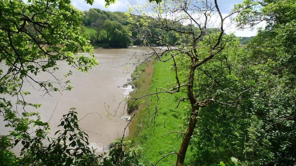
Lake District: Goldrill Beck 'rewiggled' to cut flood risk
- Published
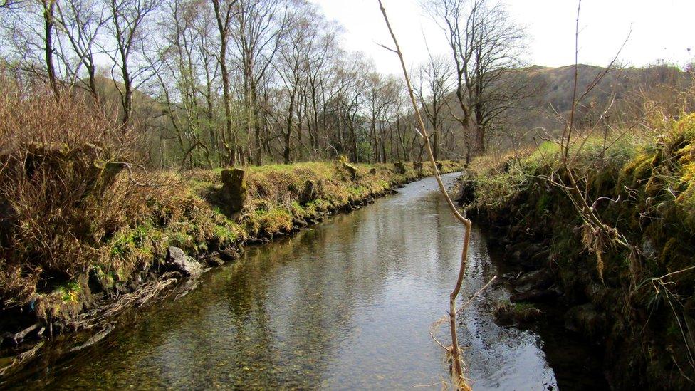
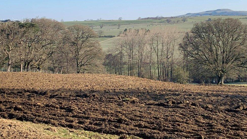
Goldrill Beck has been straightened over many hundreds of years
A Lake District river is to be "rewiggled" to reduce flooding in a storm-hit valley.
The National Trust plans to reverse historical straightening of Goldrill Beck, near Hartsop, and move it away from the main road past Ullswater.
The area was severely affected by floods during Storm Desmond in 2015.
Project manager Rebecca Powell said the straightening of the river over hundreds of years had allowed water to flow quicker and flood nearby land.
This "undermines defences and causes catastrophic damage to local infrastructure, farmland and local communities", she said.
"By reconnecting Goldrill Beck with the land that surrounds it, and accommodating natural processes by removing old defences, we're equipping the river to manage the future impacts of climate change and extreme weather events."
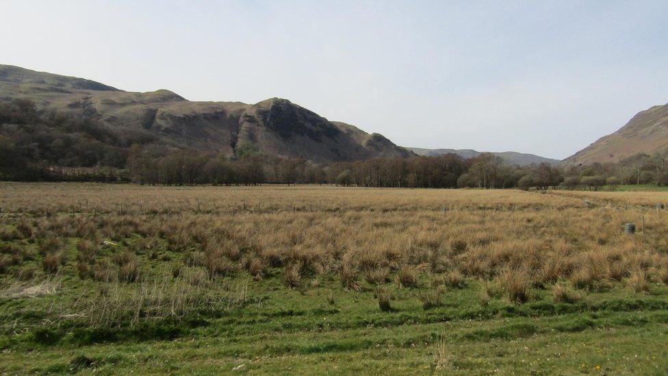
Excess water from Goldrill Beck should spill onto flood plains not roads, the trust says
The National Trust plans to move the beck to the lowest point of the valley bottom, reinstating a series of bends to create small sub-channels downstream of Cow Bridge.
The trust said the scheme would improve wildlife habitats, slow the flow of water downstream and reconnect the beck with a flood plain, allowing the wider landscape to absorb floodwater.
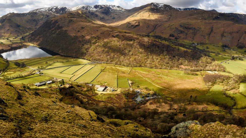
The current beck route risks flooding in the valley
Re-routing over several centuries, mainly aimed at land reclamation, had concentrated the force of the water onto the retaining wall of the A592, regularly flooding the key route, it added.
The scheme is part of the Riverlands project, a partnership between the National Trust, the Environment Agency, tenant farmers, Natural England and Cumbria County Council, which is part-funded by the European Agricultural Fund for Rural Development.

Follow BBC North East & Cumbria on Twitter, external, Facebook, external and Instagram, external. Send your story ideas to northeastandcumbria@bbc.co.uk, external.
Related topics
- Published22 April 2021
- Published5 March 2021
- Published27 April 2021
