Storm Kathleen to bring strong winds to Cornwall and parts of Devon
- Published

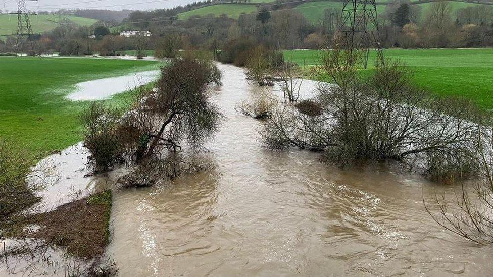
A yellow weather warning will come into force in Cornwall and parts of Devon on Saturday
A yellow weather warning for wind has been issued for Cornwall and parts of Devon as Storm Kathleen approaches.
The Met Office warned of winds gusting to 60mph (100kmh) across the region on Saturday from 08:00 BST until 22:00.
It warned of a danger to life from flying debris, damage to buildings and the potential for power cuts.
National Highways urged people to take care on the roads, with a particular risk to lorries, campervans and motorbikes.
Dangerous sea state
The Met Office said southerly winds were expected to gust to between 50-60mph and large waves were expected in exposed areas.
The RNLI warned a dangerous sea state would increase the risk of strong rip currents.
Steve Instance, from the charity's water safety team, said people should swim at lifeguarded beaches.
"It is likely that the conditions will change dramatically over the course of the weekend," he said.
"RNLI lifeguards are there to offer advice so if you are unsure about anything, make sure you ask a lifeguard."
National Highways urged motorists to plan their journeys.
Dale Hipkiss, national network manager, added: "If weather conditions become challenging, adjust your driving behaviour and take extra care."

Analysis
David Braine, BBC South West senior broadcast meteorologist
Storm Kathleen will be the 11th named storm of the season.
The first was back in September 2023, but the third storm of the season was the most severe so far - Storm Ciaran on 29 October 2023 brought exceptional winds across the south of the UK, the Channel Islands and France.
Wind gusts along the south coast of the UK exceeded 60mph, and while these gusts are fairly typical for a major Atlantic storm, the winds experienced across the Channel Islands and northern France were similar, if not stranger, than the Great Storm of 1987, with Jersey Airport recording a gust of 93mph.
Many European meteorological agencies name deep areas of low pressure because it helps carry the message of bad or disruptive weather.
The reason we have had so many named storms this season has a lot to do with the position of the jet stream being further south than normal.
Another reason is the teleconnections with what is happening across the Atlantic and in the Pacific Ocean, where sea surface temperatures are not normal - a clear sign of climate change and global warming.
Follow BBC Cornwall on X (formerly Twitter), external, Facebook, external and Instagram, external. Follow BBC Devon on X (formerly Twitter), external, Facebook, external and Instagram, external. Send your story ideas to spotlight@bbc.co.uk, external.
Related topics
- Published27 March 2024
- Published27 December 2023