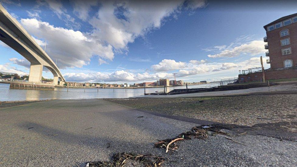
Southampton flood defence: Plans for £42m scheme drawn up
- Published

The scheme, on the west bank of the River Itchen in Southampton, is expected to be completed by 2027
A £42m flood alleviation scheme to protect homes and businesses along a city's river bank has been approved.
The plans, drawn up by Southampton City Council, aim to reduce the risk of flooding on the west bank of the River Itchen in Southampton.
Currently 153 homes and 288 businesses are at risk of flooding.
A final decision on the River Itchen Flood Alleviation Scheme (RIFAS) is set to be taken by full council on Wednesday.
Short sections of the mainline railway, parts of the A3024 Northam Road, and several electrical substations and pumping stations are also currently at risk.
Experts warned that by 2120, the flood risk would increase to 1,167 homes and 1,033 businesses, with potential flood depths of up to 1.8m, according to the Local Democracy Reporting Service.
The scheme includes the 3.6km (2.2 mile) stretch of river from Mount Pleasant Industrial Estate to the Southampton Water Activities Centre.
The quay wall at Drivers Wharf in Northam would also be replaced.
The scheme, which is expected to be completed by 2027, would be delivered by the Environment Agency with the support of the city council.
The authority is set to invest £10m in the project, while the remaining £32m is expected to be funded by the Environment Agency.

Follow BBC South on Facebook, external, Twitter, external, or Instagram, external. Send your story ideas to south.newsonline@bbc.co.uk, external.