Bradford city centre 'digital twin' model to be unveiled
- Published

Organisers say Virtual Bradford could also have other potential uses such as creating heritage trails
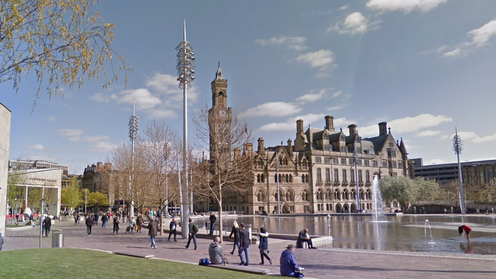
A virtual 3D model of a city is being built which could help with planning, air pollution and traffic management.
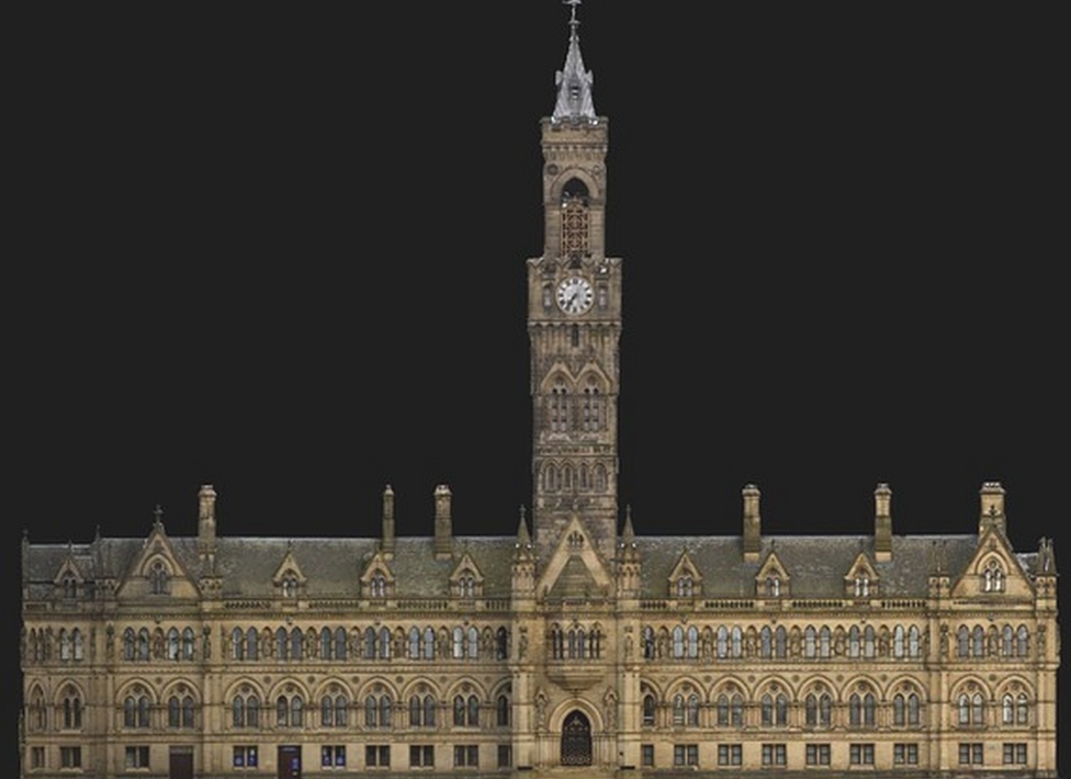
University staff are currently creating Virtual Bradford, a high-resolution copy of the city centre.
Due to be unveiled at a conference on Monday, It could be extended out, eventually mapping more than 60 miles (100km) of streets.
Prof Andrew Wilson said it would show "accurate levels of detail".
Part of the University of Bradford's School of Archaeology and Forensic Sciences, Prof Wilson said: "This is essentially a 3D model or digital twin of the city, capable of showing accurate levels of detail for the built environment."
It could also support "modelling of air quality, flood risk and noise pollution," he added.
Prof Chris Gaffney said: "It's about creating something very complex, that will be very simple to use.
"The possibilities beyond the creation of the model are vast."

It's a 3D model "showing accurate levels of detail for the built environment," said Prof Wilson.
The project is due to be unveiled at the university's UNIfy Festival, external that is to start on Monday.
Virtual Bradford uses laser scanners mounted on an electric trike, 360-degree cameras and a drone to take images, said the Local Democracy Reporting Service, external.
It is a collaboration between the university and Bradford Council and the copyright-free project should be completed by the end of the year.

Follow BBC Yorkshire on Facebook, external, Twitter, external and Instagram, external. Send your story ideas to yorkslincs.news@bbc.co.uk, external.
Related topics
- Published10 April 2021

- Published10 April 2021
