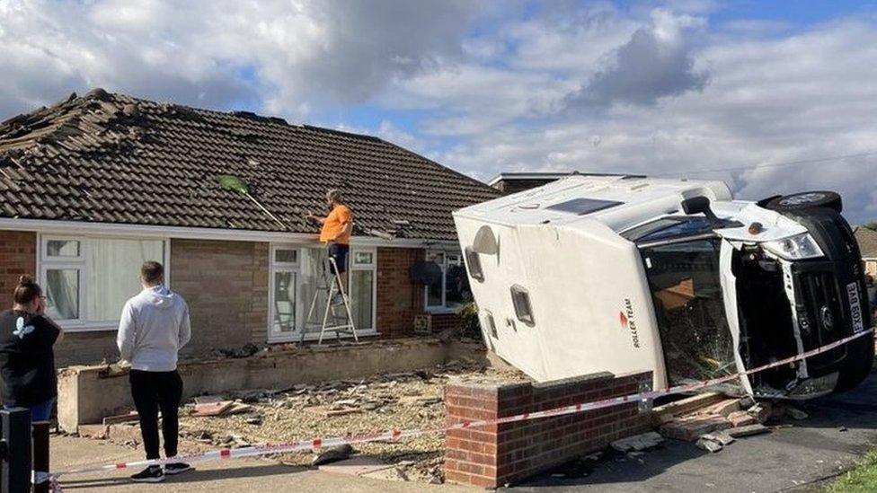
Widnes: Possible tornado damages houses and vehicles
- Published
Residents captured the moment a possible tornado hit Widnes
A possible tornado has hit a town, with strong winds damaging houses and vehicles.
Police received reports of walls being brought down and car windows being smashed by freak weather in Widnes, Cheshire, at about 12:25 BST.
Resident Claire Earnshaw said she walked back from the shop and "came back to devastation" like a "warzone".
Cheshire Police said road closures were in place and added it had not received any reports of injuries.
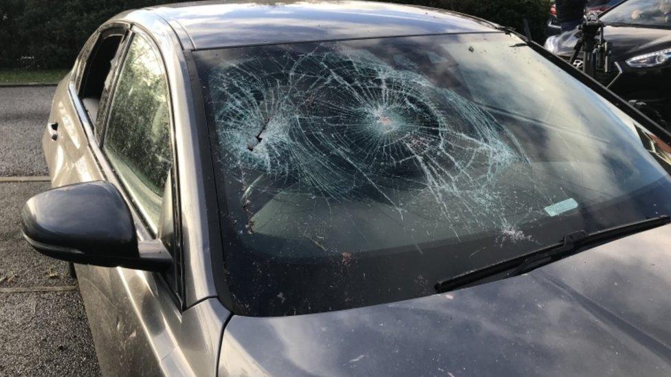
Car windows and windscreens were smashed in the freak weather
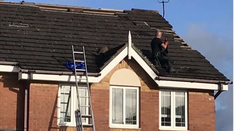
Roof slates were blown off in the wind
Ms Earnshaw described seeing a wall knocked over and said she initially thought "a lorry had taken it out".
She told BBC Radio Merseyside: "Walls are down, there are big holes in people's roofs, windows smashed and garage doors have been blown in.
"It was really scary... I keep thinking how lucky we are."
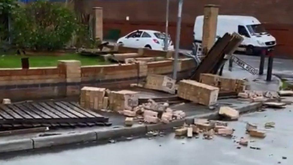
Walls collapsed during the strong weather
Another resident, Micky Kelly, described seeing "thick black clouds" and then he heard a "boom".
Halton MP Derek Twigg described the scene as "shocking" and spoke of his relief that nobody was injured.
He added: "It was good to see people pulling together to clean up the damage and I hope the damage is rectified soon."
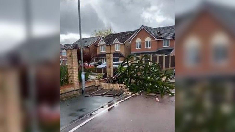
Trees and walls have also been brought down
Some Twitter users in Widnes said the weather had been "shocking" and others described it as "a bit wild out".
Police said Camberwell Road, at the junction of Moorfield, was closed.

Analysis
By Owain Wyn Evans, BBC North West Tonight weather presenter
Tornadoes, although very unusual, can and do happen here in the UK. We actually get around 30 reports each year.
Most are isolated and low impact - but some cause far more damage, especially when they occur in built up or urban areas.
A tornado is a rapidly rotating funnel of air which reaches the Earth's surface from a storm cloud, and these tend to occur when we have a very unsettled set up with thunderstorms around.
We could still see further thunderstorms across the North West, before importing colder air over the next 24 hours.

Why not follow BBC North West on Facebook, external, Twitter, external and Instagram, external? You can also send story ideas to northwest.newsonline@bbc.co.uk
Related topics
- Published27 September 2021
