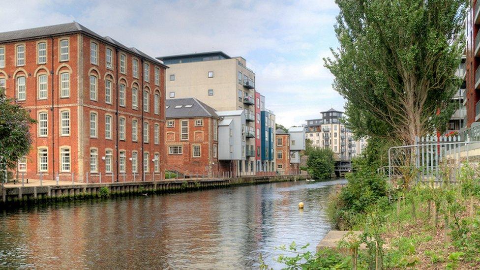
Norwich: River Wensum plans aim to avoid flood risk
- Published

Four areas next to the River Wensum would be regenerated as part of the scheme
A river development plan that is part of the government's "levelling up" project would include measures to prevent new homes being flooded.
The East Norwich Masterplan, external includes building next to the River Wensum.
The scheme involves four sites - Carrow Works, the Deal Ground and May Gurney sites in Trowse, and the Utilities site between Thorpe Hamlet and Whitlingham.
Norwich City Council heard that planned homes will need to be elevated above the flood risk level.
Areas around the Deal Ground could be "reprofiled" to be raised above the flood risk too, development consultant Martyn Saunders said.
Mr Saunders also told councillors the plans aimed to "future-proof" against flooding risk, reported the Local Democracy Reporting Service.
An eight to 10m (26 to 32ft) strip of land between the water and homes could form a walkway along the river banks.
This could become flood storage when needed, the developer said.
Councillors on the sustainable development panel heard about the impact of the scheme on the area.
The plans had been revised to increase the number of homes from 3,470 homes to 3,630.
Meanwhile, Homes England has given £41,000 to investigate a potential pedestrian and cycle link through the Trowse rail underpass.
This would form a route through the Carrow Works and Deal Ground sites in Whitlingham Country Park.
The scheme is partly funded through the £25m Town Deal fund - part of the government's "levelling-up" project.

Find BBC News: East of England on Facebook, external, Instagram, external and Twitter, external. If you have a story suggestion email eastofenglandnews@bbc.co.uk