Drilling for Oxford's flood relief channel begins
- Published
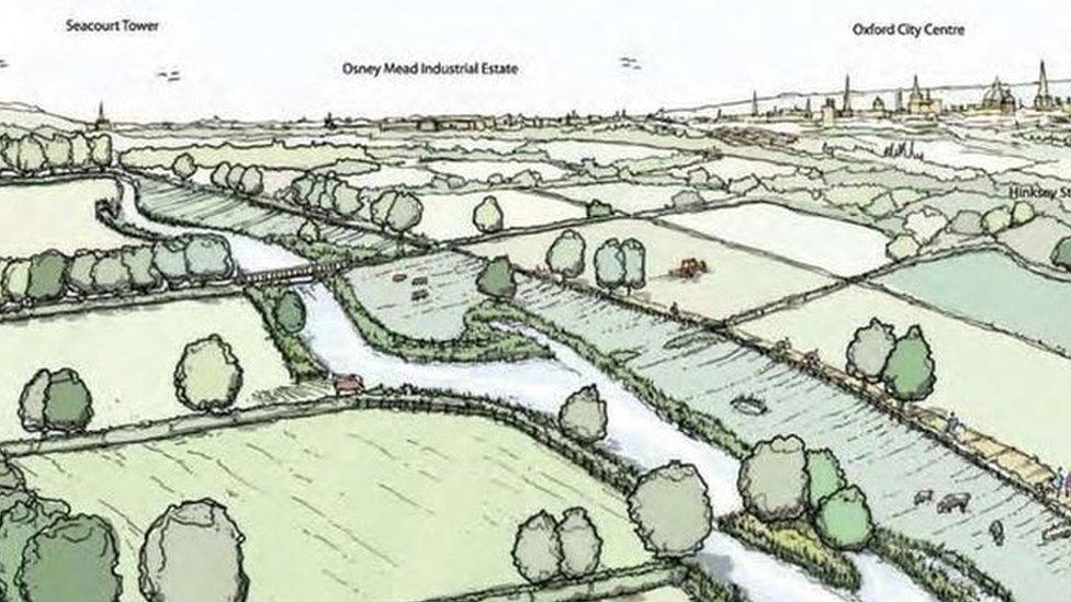
The four-mile channel would carry water to the west of Oxford in addition to the capacity of the River Thames
Work has begun on the first stage of a £120m flood relief channel to protect Oxford from flooding.
The Environment Agency is digging 130 boreholes up to 10m (32ft) deep and a series of pits on land between Oxford's Botley Road and Sandford in Kennington.
The work, lasting four weeks, is being carried out to see what rock and soil types are underlying the area.
The planned four-mile flood channel would divert excess water away from the city protecting 1,200 homes.
Construction on the channel, if approved by Defra and HM Treasury, is expected to start in Spring 2018.
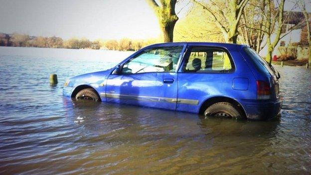
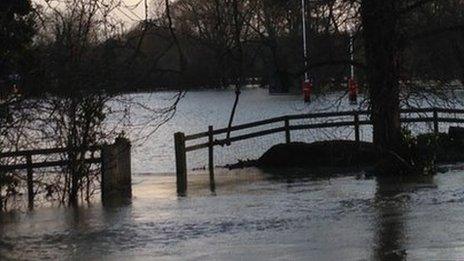
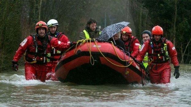
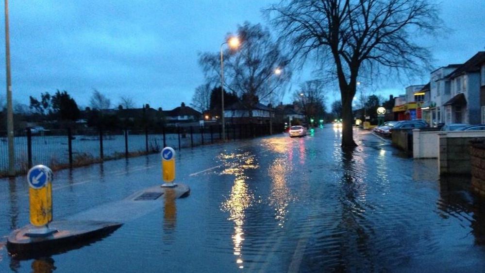
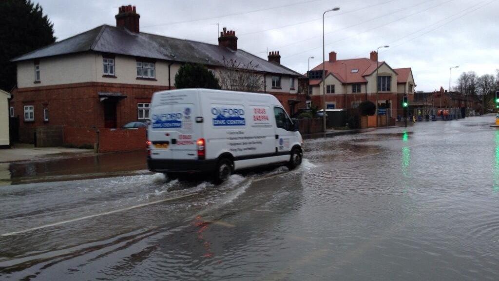
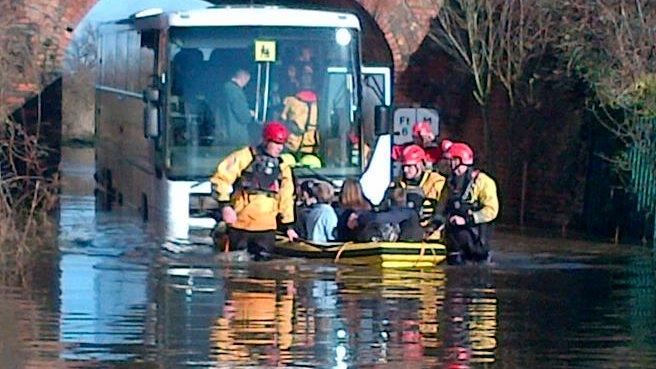
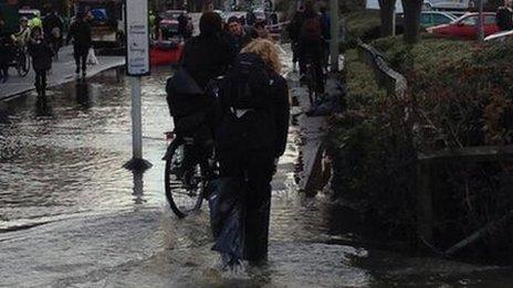
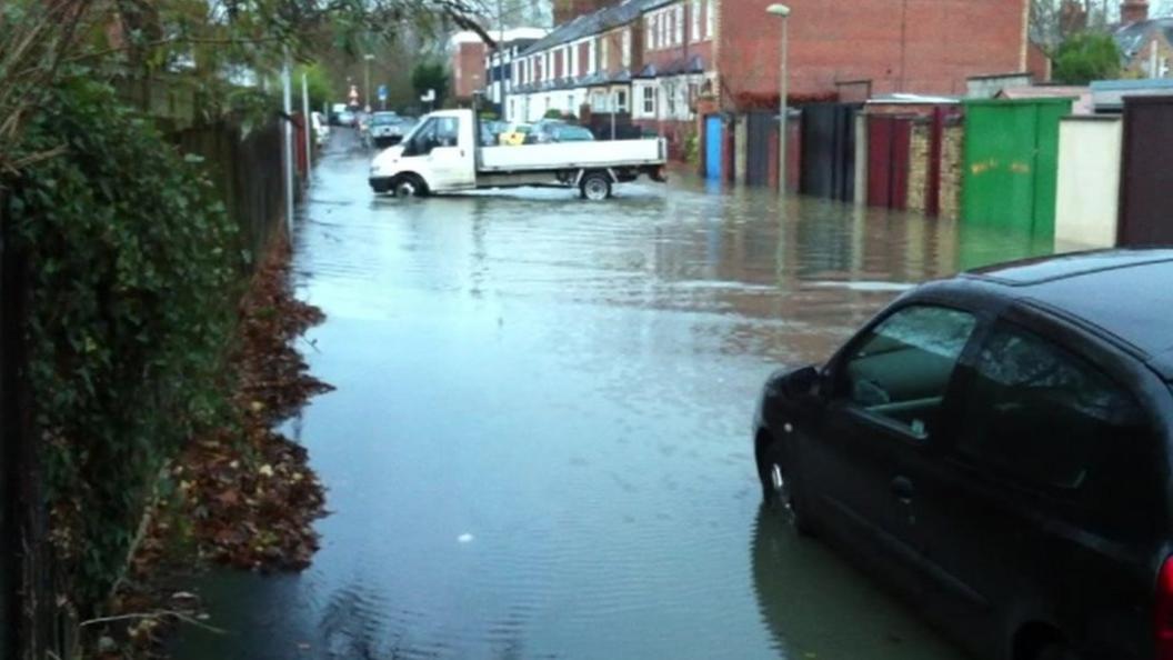
Flooding caused widespread disruption in Oxford in February 2014 with homes and major routes cut off for days.
Its two main arterial routes, Botley Road and Abingdon Road, had to be closed. Train services also had to be stopped due to flooding on the line.
The council issued thousands sandbags to residents - some had to use temporary toilets after the drains in their streets overflowed.
Fire crews were also called in with pumps to divert water away from hundreds of homes into fields.
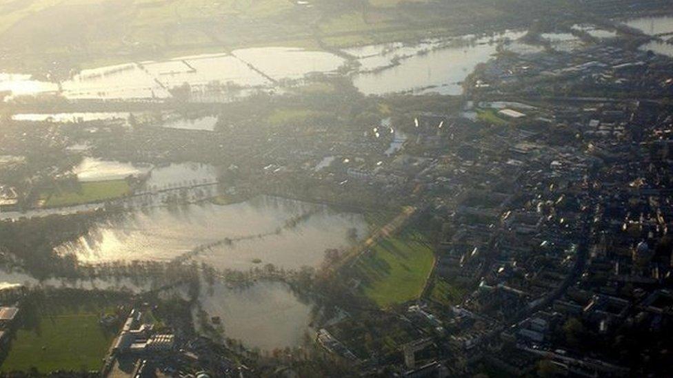
Oxford was badly hit by flooding in 2014 with major routes cut off for days
- Published7 January 2015
- Published1 March 2014
- Published21 February 2014
- Published11 February 2014
- Published9 February 2014
- Published7 February 2014
- Published12 January 2014
- Published9 January 2014
- Published9 January 2014
- Published8 January 2014
