'Detailed' contingency plan for flood-hit Ironbridge
- Published

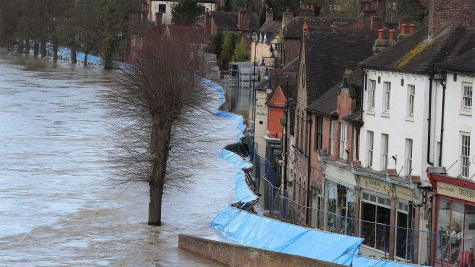
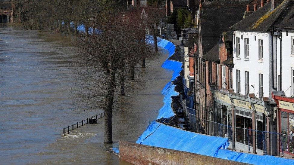
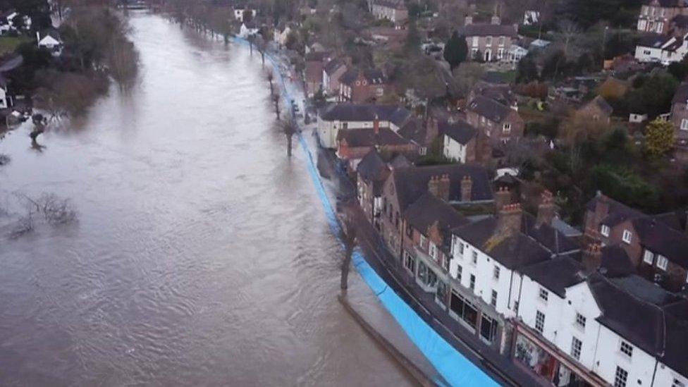
The force of the river caused defences in Ironbridge to buckle in February 2020
A "detailed" plan has been drawn up ahead of any flooding this winter to identify those most at risk and to better target action.
Telford and Wrekin Council said it had drawn up maps of Ironbridge showing which properties could be compromised.
Alterations have already been made to the town's flood barrier which was forced back by the Severn when water reached record levels in February 2020.
The authority said it wanted the community to "feel supported".
Other measures include plans for road closures and the issuing of sandbags.
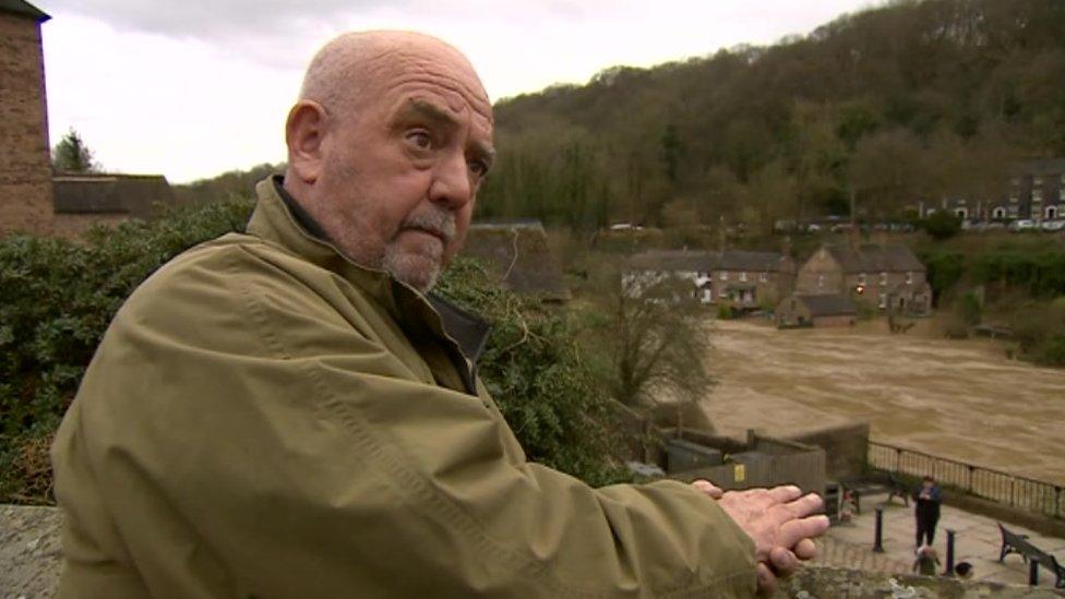
The Ironbridge area was hit by flooding caused by storms Dennis, Ciara and Jorge in early 2020, and then Christoph in 2021.
The council's highways manager Adam Brookes said since the floods, the authority had drawn up "a detailed assessment to improve our understanding of properties and infrastructure affected at certain river levels".
That plan would enable the council to target its response, he said, and make calls to check up on those most at risk.

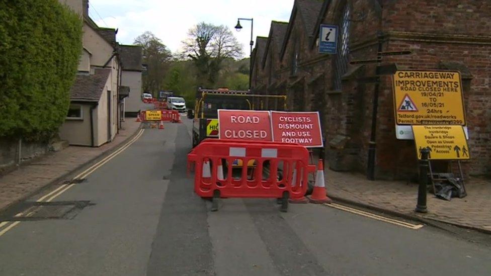
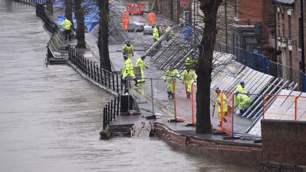
The flood in February 2020 damaged the road surface on the Wharfage
The Wharfage, which was damaged when the flood barrier buckled in 2020, is currently being resurfaced and the council said it expected the work to be completed by the middle of October, before the flood season began.
Mr Brookes said surveys were carried out after the January 2021 flood, which recorded 93% of respondents saying they felt the council responded in a timely manner, and 92% indicating they felt supported by the council before, during and after.

Follow BBC West Midlands on Facebook, external, Twitter, external and Instagram, external. Send your story ideas to: newsonline.westmidlands@bbc.co.uk , external
- Published1 May 2021
- Published10 February 2021
- Published28 January 2021
- Published14 March 2020
- Published28 February 2020
- Published26 February 2020