South Downs pre-Roman 'farming collective' discovered
- Published

The survey revealed the extent of farming on the South Downs before the Romans arrived
Evidence of a prehistoric "farming collective" has been discovered after aerial laser scanning was carried out in the South Downs National Park.
Large-scale farming from before the Roman invasion suggests a high level of civilisation, archaeologists said.
The survey also revealed the route of a long-suspected Roman road between Chichester and Brighton.
It covered an area between the Arun river valley in West Sussex and Queen Elizabeth Country Park in Hampshire.

The area surveyed included Lamb Lea scheduled monument, the land within the red line between Hampshire and the Arun river valley

The red lines show the number of prehistoric fields running across the South Downs
The "Lidar" survey technique uses an aircraft-mounted laser beam to scan the ground and produce a 3D model of features that survive as earthworks or structures in open land or woodland.
Images of land between Lamb Lea Woods and Charlton Forest showed that a field system already protected as a scheduled monument was just a small part of a vast swathe of later pre-historic cultivation extending under a now wooded area.
James Kenny, archaeological officer at Chichester District Council, said it suggested a civilisation closer to ancient Greece, Egypt or Rome than what is known of prehistoric Britain.
'Organised farming'
"One of our biggest findings is the discovery of a vast area farmed by pre-historic people on an astonishing scale," said Trevor Beattie, chief executive of the South Downs National Park Authority,
Mr Kenny added that the evidence raised questions about who was growing the crops, who was eating the food and where they were living.
"The scale is so large that it must have been managed, suggesting that this part of the country was being organised as a farming collective," he said.
The route of the road suggests the Romans would have headed out from their settlement at Chichester on Stane Street, the road to London, before branching east towards Arundel.
"The recognition of the 'missing link' in the Roman road west of Arundel was a highlight in a project full of exciting results," said Helen Winton, aerial investigation manager at Historic England.

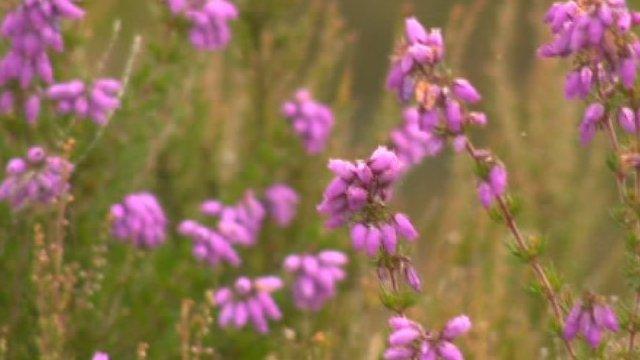
The South Downs was designated as a national park in 2011
- Published5 December 2015

- Published15 December 2014
- Published27 June 2014
- Published7 May 2012
- Published1 April 2011


