Call for ancient Bristol-Oxford 'route 79' to be named
- Published

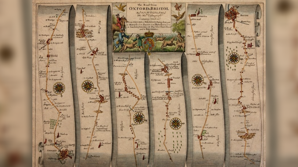
The map is split into six strips following the road and the settlements along it
When a man was given an almost 400 year old map - number 79 from an old atlas - showing a route running between Oxford and Bristol via Wiltshire, a ten year journey of discovery began.
Romans, Kings and armies have all marched along a road that has been forgotten in time.
Now what would have been a medieval version of the M4 is mostly made up of country lanes and thin strips of field.
"It's not celebrated at all. It's got 2,000 years of history to it. That to me is what makes it really special."
David Mitchell from Minety became fascinated with the route, that he wants named the North Wessex Way, after spotting a map in a shop in Hay-on-Wye.
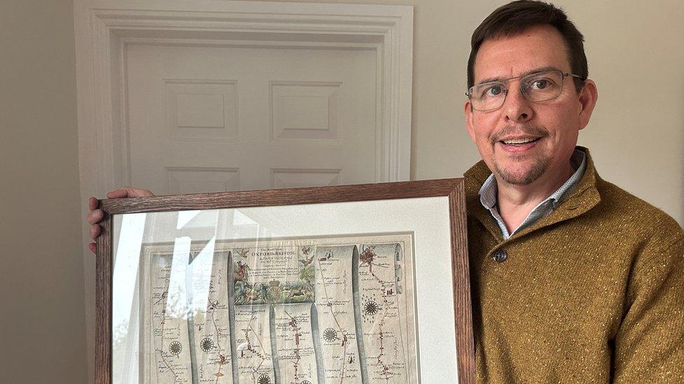
He didn't have time to buy it. But, his wife surprised him with the map for his 50th birthday.
The map was made in 1675, when King Charles II commissioned work to map all the strategic routes in the country, which included this one.
"His father had lost his head and lost the civil war due to not having a good understanding of logistics around the country," David said.
"Nobody knew how far a town was from another, there was no accurate measurement. How could you move armies around?"
Teams of three were sent out to map these major roads - one man on a horse taking down the notes and "the other two would be pushing a cart with a big wheel".
"This was the first time distances were measured accurately to the nearest mile. In fact, they created the statute mile," he added.
A book made of a hundred maps was then created - it was called Britannia and this map was number 79.

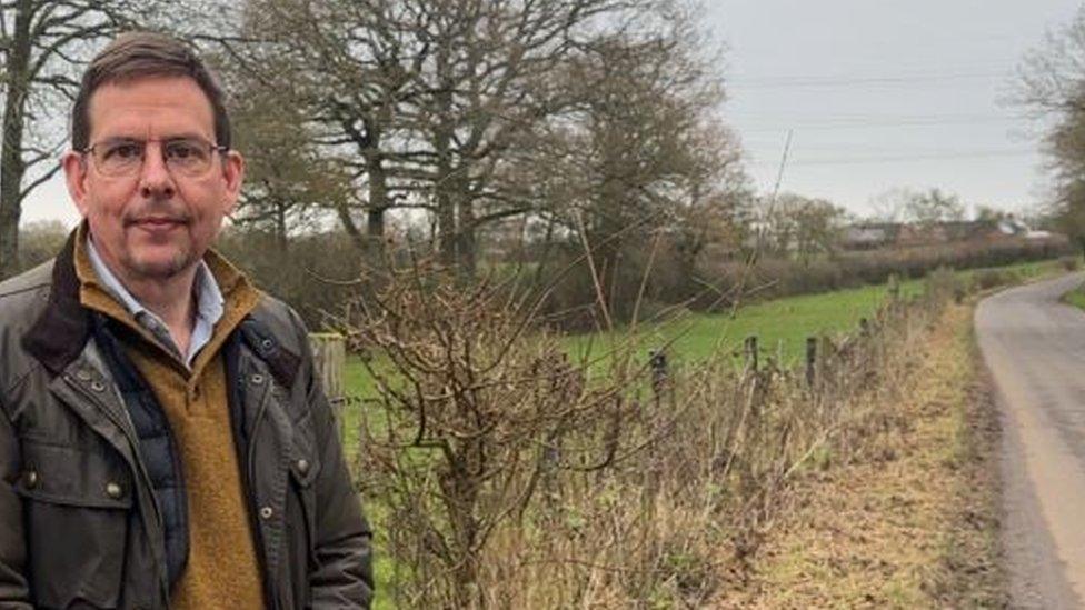
Much of the forgotten route is just country lanes and narrow strips of field, as can be seen to the left
The road is shaped almost like a snake on the map and is in six strips as it shows the places along it - for example, Oxford, Faringdon, Highworth, Swindon, Malmesbury and then further on to Bristol.
When David first saw the old map he realised it showed the Oxford to Bristol route - but using country lanes.
Melanie Pomeroy-Kellinger, an archaeologist with Wiltshire Council, explained it is "common" for routes to be lost from memory.
"Some we simply don't know about as they are under modern roads or went out of use and reverted back to farmland."
"Archaeological excavations over the years across Wiltshire have found the remains of many ancient tracks either in isolation or associated with settlements of all ages," she said.

David Mitchell was immediately captured by the centuries-old map
Mr Mitchell believes the road was significant, with the same route shown on other early maps he found, including one from the 1400s, which showed a red line along the same path, the only one marked in north Wiltshire.
"It sits there as narrow country lane, like it has no significance, yet it had significance at one point," he said. "Every time I drive along, I think who's been here before?"
It was travelled along during the Civil War by King Charles I in 1643 - earlier, King Alfred may have used it as it marked the boundary between Wessex and Mercia and David believes it has been there since at least the Iron Age period, with hillforts dotted along the route.
On a visit to Purton Museum, David even discovered a journey taken along it.
The trip was taken by John Wesley, founder of the Methodist Church, who was said to have covered 250,000 miles on horseback in his lifetime.
A record from 1740 details his movements in which he travelled 42 miles from Malmesbury to Oxford - stopping at almost all the places along the road.
David explained "It's been untouched in the Bradon Forest. The road that was travelled for thousands of years has been forgotten."
Ms Pomeroy-Kellinger said it could have been significant and that it is likely there would have been other routes between Oxford and Bristol.
There is even the chance of old roads everywhere "being found that were not mapped at all".

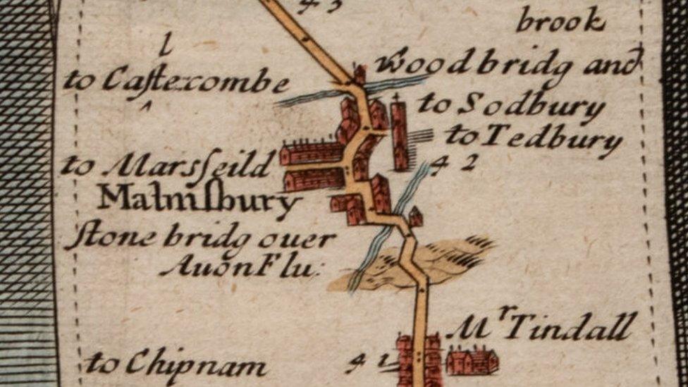
This close-up shows the road ran right through Malmesbury
Then the road begins to disappear from history - David's research shows that was down to some dirty politics.
He explained that an Act of Parliament in 1755 led to the creation of the Faringdon to Acton Turville turnpike road.
For the first time, proper roads were maintained and organised by trusts, who were allowed to charge for their use.
This road though was a diverted path - it went through Cricklade after the two MPs there - who had paid to get their seats - were trustees of this turnpike.
"The turnpike would give you more trade and business - they would have had a vested interest," he said.
Ms Pomeroy-Kellinger said there is a lot of "potential for old routes to be discovered on maps and then explored on the ground, it is an interesting topic where history meets archaeology."
So David Mitchell's road has sunk into obscurity, but he wants to change that.
First, he wants route 79 from the map book Britannia to be named, probably the North Wessex Way: "It needs a name to galvanise interest in it.
"I think it's a shame if it got forgotten."
David has a talked planned in his local village hall in Minety on 26 January about his research.

Follow BBC West on Facebook, external, X, external and Instagram, external. Send your story ideas to: bristol@bbc.co.uk , external