Earthquake hits off coast of Scarborough measuring 3.8 magnitude
- Published

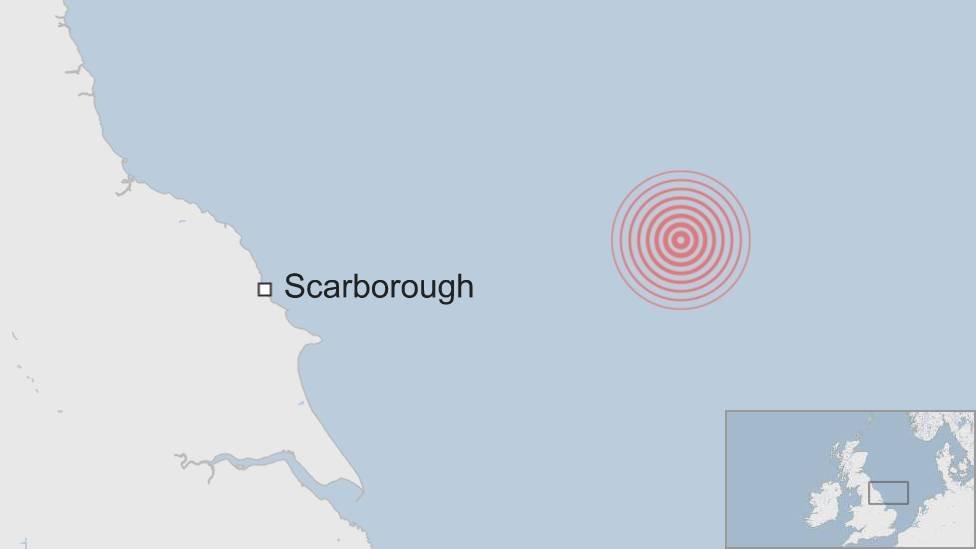
A 3.8 magnitude earthquake has struck off the coast of North Yorkshire.
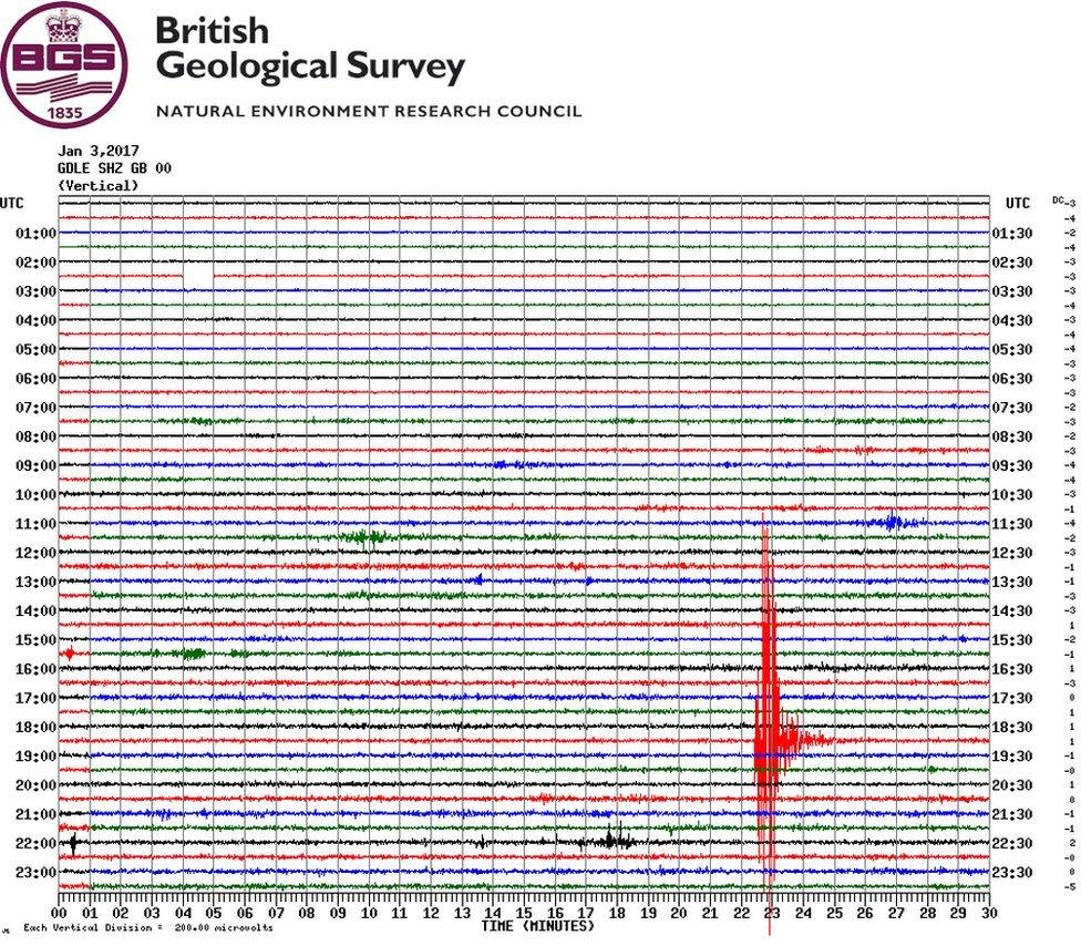
The tremor was detected about 100 miles (150km) east of Scarborough in the North Sea at 18:52 GMT on Tuesday.
A British Geological Survey (BGS) spokesman said people may have experienced a "minor tremor", but the quake would not have caused any structural damage.
Four earthquakes measuring between 3.0 and 3.9 magnitude are detected in the North Sea each year, the BGS says.

The tremor was recorded at a number of BGS seismic stations, including one at Glaisdale in North Yorkshire
One caller to BBC Radio York, June, said she had "felt the shake", external while cooking in her top floor flat in Scarborough.
"I had some oil in my frying pan and as I moved it across to the sink I lost all control of it all of a sudden," she said.
"The oil went all over the carpet in the kitchen."
Largest known earthquake
According to the BGS, up to 30 earthquakes are felt by people in the UK each year. A few hundred smaller ones are recorded by sensitive instruments.
The largest known British earthquake occurred 60 miles (97km) offshore near the Dogger Bank in 1931. It had a magnitude of 6.1, causing minor damage to buildings on the east coast of England.
The most damaging UK earthquake was in the Colchester area of Essex in 1884 when about 1,200 buildings needed repairs.
- Published18 October 2016
