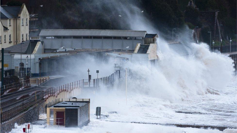
Weather warning: Snow and ice may cause travel disruption
- Published
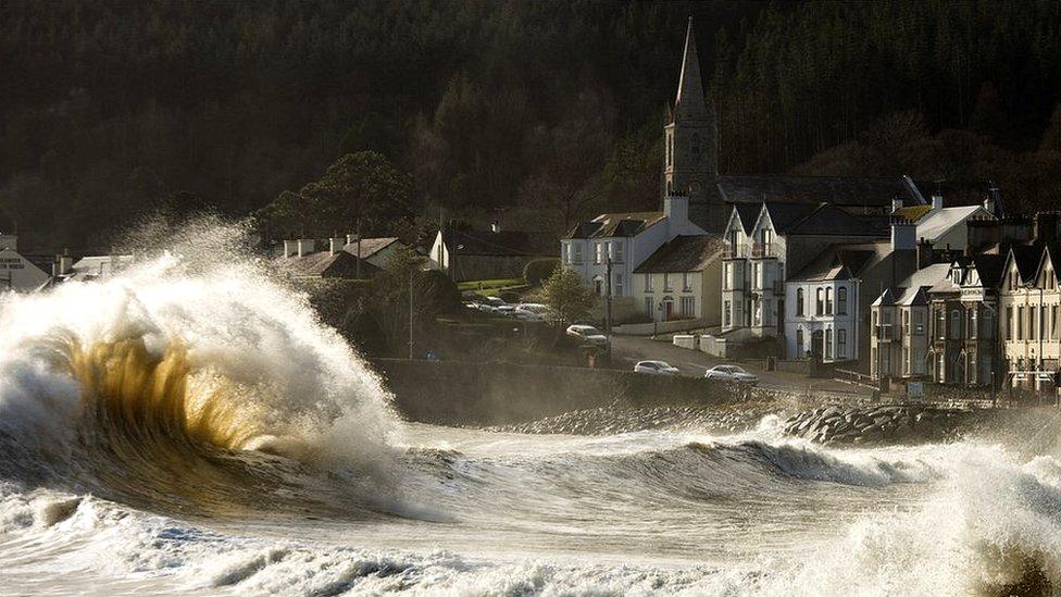
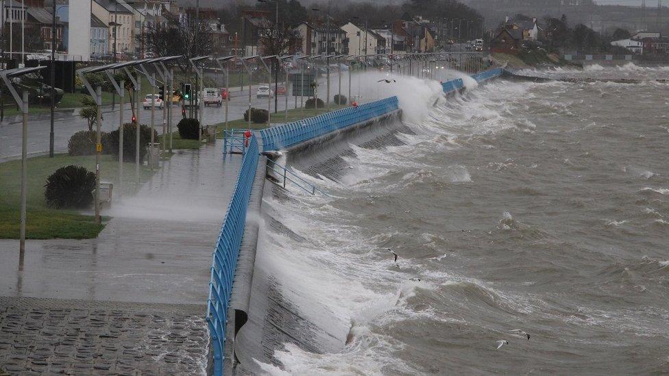
Strong winds lashed Newcastle, County Down, on Sunday
A yellow weather warning for wind and snow is in place across Northern Ireland for Monday and Tuesday.
Heavy snow showers and icy surfaces are likely to lead to travel disruption, according to the Met Office.
This follows a yellow weather warning for wind and rain at the weekend due to Storm Ciara.
The latest warning forecasts gusts of up to 60mph in exposed areas with snow as colder air moves in.
Several centimetres of snow will gather on hills, especially on higher ground above 150m (492ft). Lower levels may also see ice and snow showers, especially at night.
The warning, which came into force at midnight on Sunday, will continue until midnight on Tuesday and will mainly affect the north coast.
There is a further warning of snow and ice on Wednesday.
Allow X content?
This article contains content provided by X. We ask for your permission before anything is loaded, as they may be using cookies and other technologies. You may want to read X’s cookie policy, external and privacy policy, external before accepting. To view this content choose ‘accept and continue’.
About 14,000 homes and businesses were without power in the Republic on Sunday due to the bad weather, which coincided with the start of counting in the country's general election.
Fewer than 200 Northern Ireland Electricity (NIE) customers were without power, early afternoon on Sunday, according to the company.
The opening ceremony to celebrate Galway's year as European Capital of Culture was cancelled on Saturday morning as organisers said it was "deemed unsafe to go ahead".
Allow X content?
This article contains content provided by X. We ask for your permission before anything is loaded, as they may be using cookies and other technologies. You may want to read X’s cookie policy, external and privacy policy, external before accepting. To view this content choose ‘accept and continue’.

Wind warning in place for coming days
By Angie Phillips, BBC News NI weather presenter
Storm Ciara moved in during Sunday morning bringing heavy rain and severe gales.
Gusts reached 72 mph at Malin Head but even less exposed parts of Northern Ireland had gusts over 60mph.
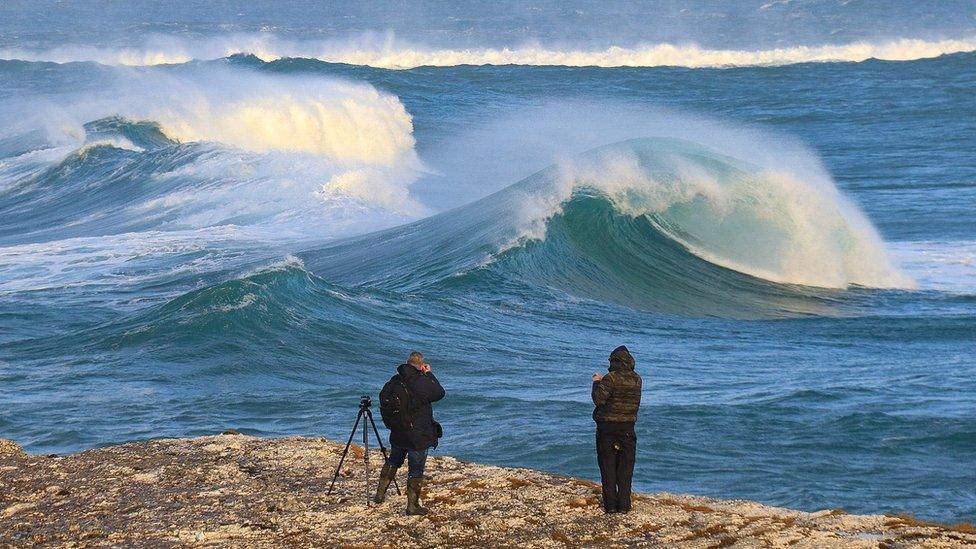
Gusts of wind of 60mph are forecast. This is the scene at Ballintoy on Sunday
The wind and rain caused quite a bit of disruption, with local power cuts, flooding and large waves, which lead to coastal flooding as well.
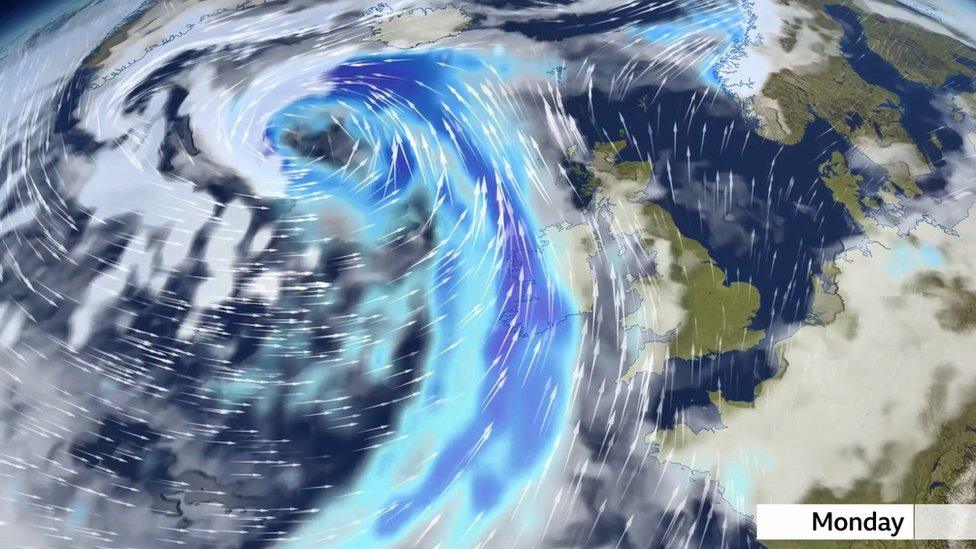
The storm has now moving away but even though the winds peaked today, there is still a wind warning in place for the next couple of days as gusts will still be 50 to 60mph at times in exposed areas.
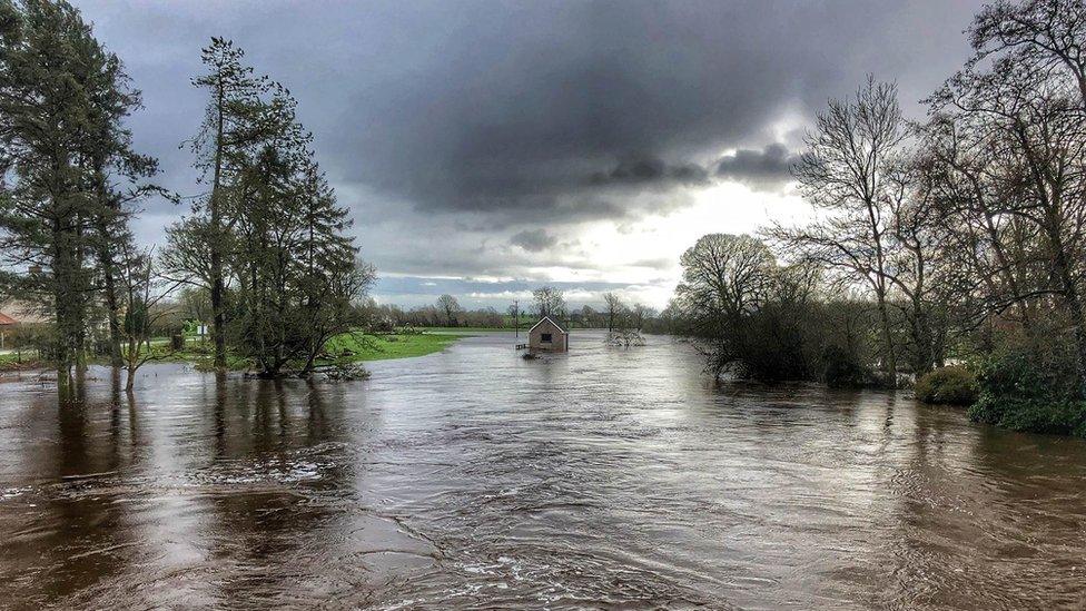
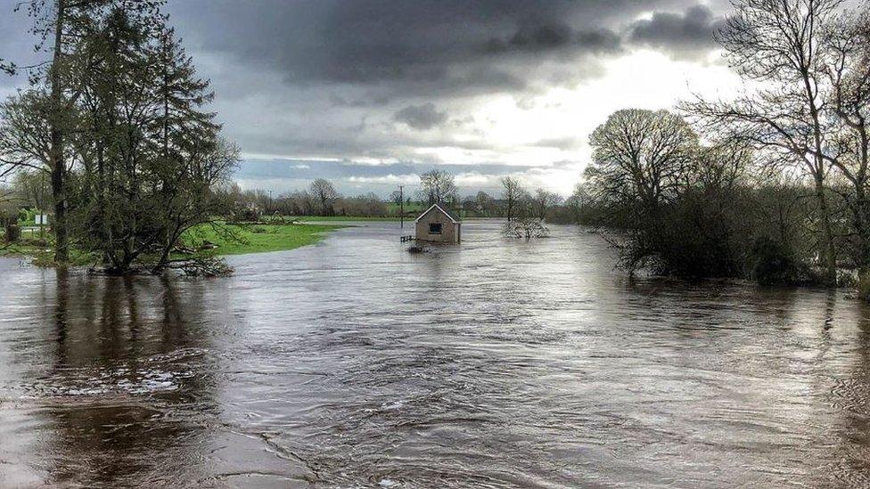
Flooding in Lisnaskea, County Fermanagh
Snow has also been added to the warning as colder air moves in.
A few centimetres of snow will gather on hills, especially above 150 metres. Lower levels may also see ice and snow showers, especially at night but the snow is less likely to settle during daylight hours when generally it'll be a wintry mix of rain, sleet and wet snow.
Some could be thundery too.
The wind eventually starts to ease a little as we head into Wednesday, but there'll still be some sleet and snow showers and it'll be an icy start. A warning for snow and ice has been issued.

Silent Valley Reservoir, a popular visitor site in the Mourne Mountains, was closed "until further notice" as Northern Ireland Water considers the potential impact of the weather.
Allow X content?
This article contains content provided by X. We ask for your permission before anything is loaded, as they may be using cookies and other technologies. You may want to read X’s cookie policy, external and privacy policy, external before accepting. To view this content choose ‘accept and continue’.
Storm Ciara was the third locally-named storm of the winter season after Storm Atiyah in December and Storm Brendan last month.
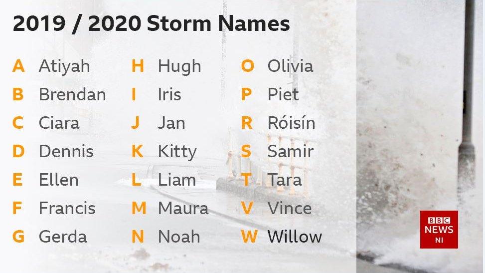
Storm Brendan led to power cuts affecting thousands of customers, while part of the sea wall at Carrickfergus, County Antrim, collapsed.
Met Éireann said the "unsettled weather with strong winds and potentially stormy conditions" look set to continue into the early days of next week, with cold weather prevailing".
It said there was a higher risk of coastal flooding due to spring tides, high seas and stormy conditions, especially for southern, western, and north-western coasts.
- Published14 January 2020
- Published12 January 2020
- Published6 September 2019
