Weather: Snow and ice warning for NI on Saturday
- Published

Vehicles driving in snowy conditions on the A37 between Limavady and Coleraine on 2 February
A weather warning for snow and ice has been issued for Northern Ireland on Saturday.
The Met Office has said snow is due to arrive early on Saturday morning and continue through the day.
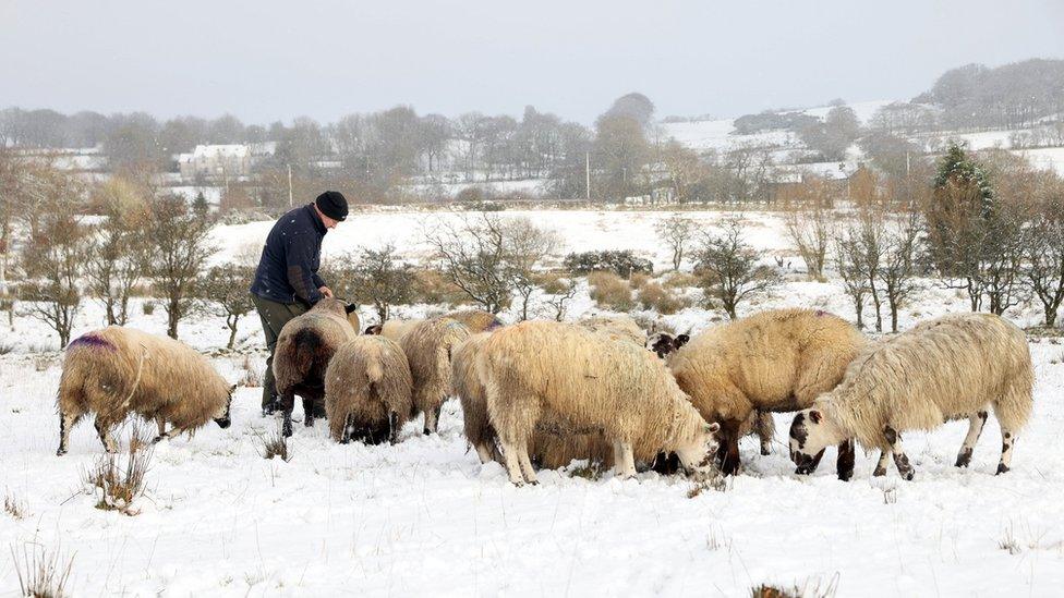
Several centimetres are possible quite widely, while up to 15 cm could build up over hills and mountains.
It also said snow could turn to freezing rain later in the day bringing a risk of ice.
As a result of the forecast wintry weather the Met Office says disruption to travel is likely.
The snow will be accompanied by strong south-easterly winds which are likely to create blizzard like conditions over high ground.

A dog climbing the snowy hills near Castlerock during the last flurry of snow on 2 February
The strongest gusts of about 80km/h (50mph) can be expected around the coast.
It will feel bitterly cold when the wind chill is factored in, with temperatures between 3 and 5C feeling much colder.
The warning comes into force at midnight on Friday until midnight on Saturday.
Much milder air will move in from Sunday, with temperatures widely in the double figures.
Meanwhile the Met Office said an overnight temperature of -23C (-9.4F) recorded in Scotland is the UK's lowest in more than 25 years.

Snow along the Portstewart seafront last week
Related topics
- Published11 February 2021

- Published9 February 2021

- Published7 February 2021