High pressure driving dry weather in Northern Ireland
- Published

David Brownlow captured Portrush in the sunshine on Monday
It is the last full week of August and therefore the meteorological season of summer.
Appropriately, it felt like summer again for most places on Monday.
Castlederg in County Tyrone recorded the highest temperature in the UK and Ireland at 24.3C. The average maximum temperature for late August is 17-18C.
High pressure is the driving force behind our weather this week and will ensure lots of dry weather until at least early next week.

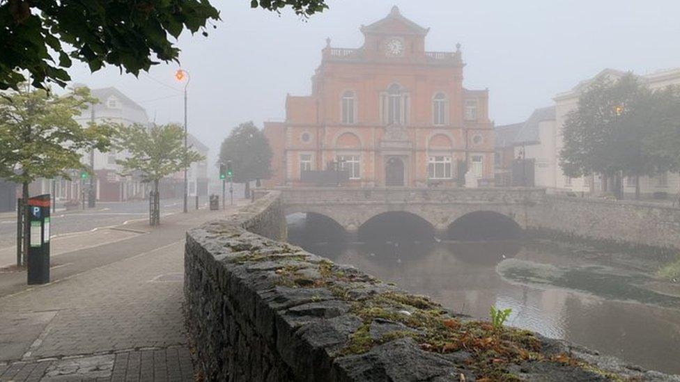
Aidan Carroll took this image of a foggy Newry on Tuesday morning
The heat is expected to peak on Wednesday, when somewhere across the island of Ireland may record 25 or 26C.
The highest temperatures are expected to be in western counties.
Because the high is centred to the north of the UK and Ireland we are not importing any excessively hot air from Europe.

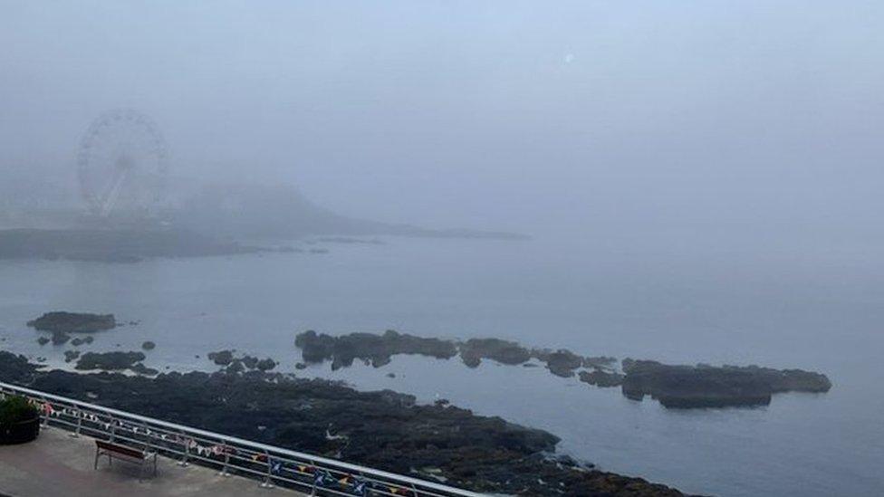
More fog in Portstewart on Tuesday captured by Derek Toms
So, this is not a repeat of the heatwave in July.
The position of the high pressure will also mean a very gentle flow from the north-east, which is why the higher temperatures will be in western areas.
Allow X content?
This article contains content provided by X. We ask for your permission before anything is loaded, as they may be using cookies and other technologies. You may want to read X’s cookie policy, external and privacy policy, external before accepting. To view this content choose ‘accept and continue’.

It also means the air is coming over the surrounding sea, so areas of sea mist, fog and low cloud will drift inland to make for some very misty, grey mornings - a sign that autumn is just around the corner.
The latter part of the week may not be as sunny or warm but sunny spells are still expected and temperatures will continue to be in the low 20s towards the west, while it'll be cooler in coastal areas with highs of 18 or 19C.
Related topics
- Published22 July 2021
