Stay at home warning for red weather alert areas as Storm Babet blows in
- Published
The Met Office issues a rare red warning for rain
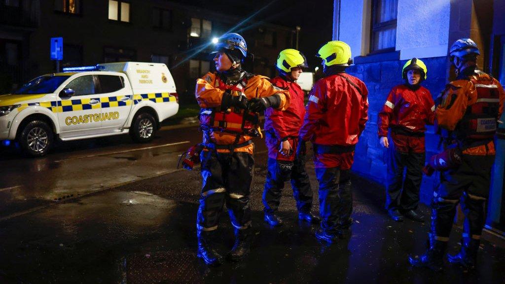
People in parts of Scotland have been urged to avoid travel and stay at home, with Storm Babet expected to bring severe flooding and disruption.
The Met Office has issued a rare red weather warning for "exceptional" rainfall in Aberdeenshire and Angus, stating there is a risk to life.
And amber and yellow warnings for wind and rain cover other parts of the UK.
The storm is currently hitting Ireland, with the army deployed to a town where more than 100 properties were flooded.
Southern parts of the UK have also been affected as the weather front sweeps north and east.
The Met Office weather warning runs from 18:00 on Thursday until noon on Friday, with between 10-15cm (4-6in) of rain expected to fall quite widely within the warning period and some locations likely to see between 20-25cm (8-10in).
The red warning states there is "danger to life from fast flowing or deep floodwater" in Aberdeenshire and Angus, with extensive flooding and road closures also expected, as well as warning of wind gusts in excess of 70mph (113km/h) affecting coastal areas.
It also warned of collapsed or damaged buildings and power cuts, and said some areas could be cut off for days.
Angus Council confirmed that schools in the region will close at lunchtime on Thursday and remain closed on Friday.
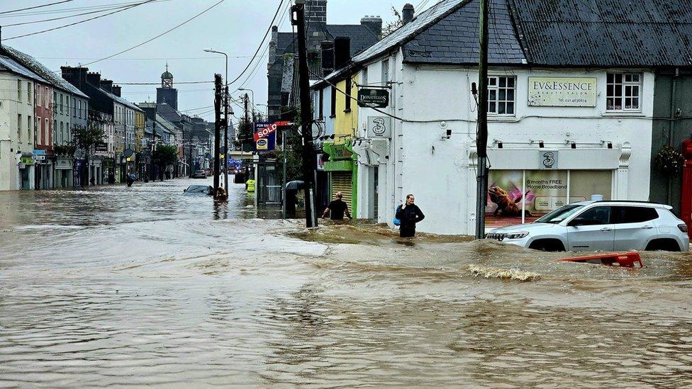
Floodwater in Midleton, County Cork, where more than 100 properties were flooded as Storm Babet hit Ireland.
Sepa warned that Storm Babet was forecast to bring "unprecedented" levels of rain to the north east of Scotland, with flooding that would cause "significant disruption".
Amber warnings remain in place across other parts of north east Scotland and the Highlands on Thursday and Friday, with yellow warnings covering much of the country until Saturday.
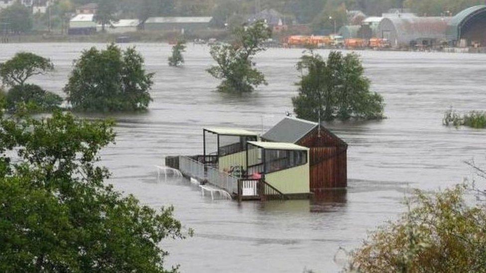
Many of the affected areas across Scotland are still saturated by heavy rain that caused flooding earlier this month. The deluge was said to have been the worst since the 1890s.
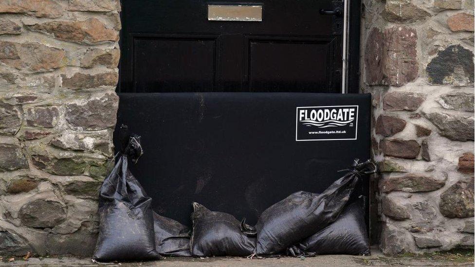
Some property owners in Aberfoyle were taking precautions ahead of Storm Babet's arrival
The Scottish government's Resilience Room met on Wednesday evening, with representatives from Transport Scotland and the Scottish Environment Protection Agency (Sepa) attending.
Afterwards Deputy First Minister Shona Robison said: "Red warnings are rarely issued by the Met Office and this reflects how serious the impacts will be from the exceptional weather we can expect - particularly in the north east of Scotland in the next two days.
"The strong message is that if you are in the parts of Angus and South Aberdeenshire affected - please stay at home and do not travel."
ScotRail has already cancelled services, external on several routes in Scotland on Thursday and Friday.
They are Perth-Aberdeen via Dundee, Perth-Aviemore (Highland main line), Perth-Dunblane, Aberdeen-Elgin (Aberdeen-Inverness line), Tain-Wick/Thurso (Far North line), and Fife Circle services.
The cancellations will also affect services between Glasgow Queen Street and Aberdeen and Inverness, and between Edinburgh Waverley and Aberdeen and Inverness.
Those living in areas not under a red warning have been urged to check rail timetables before they travel.
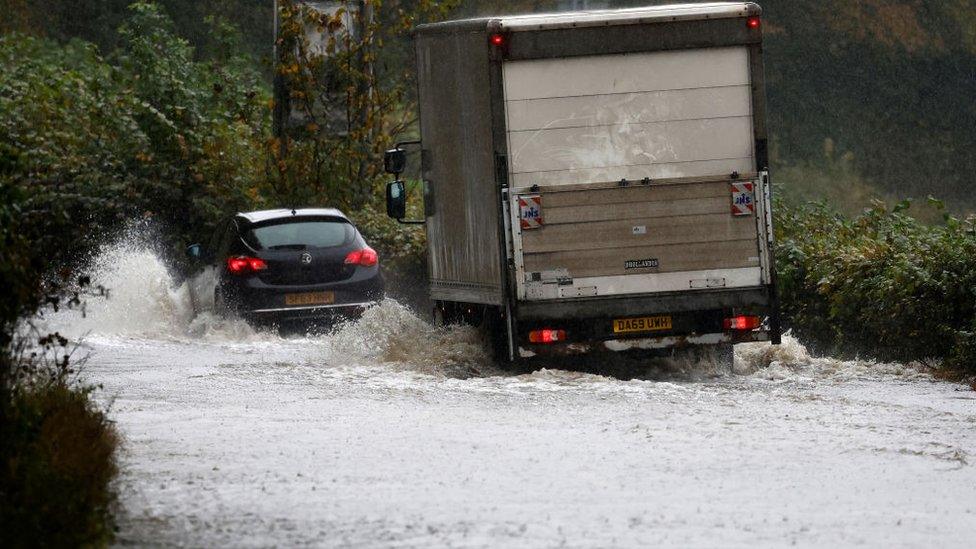
Large areas of Scotland are still saturated after being hit by torrential rain earlier this month
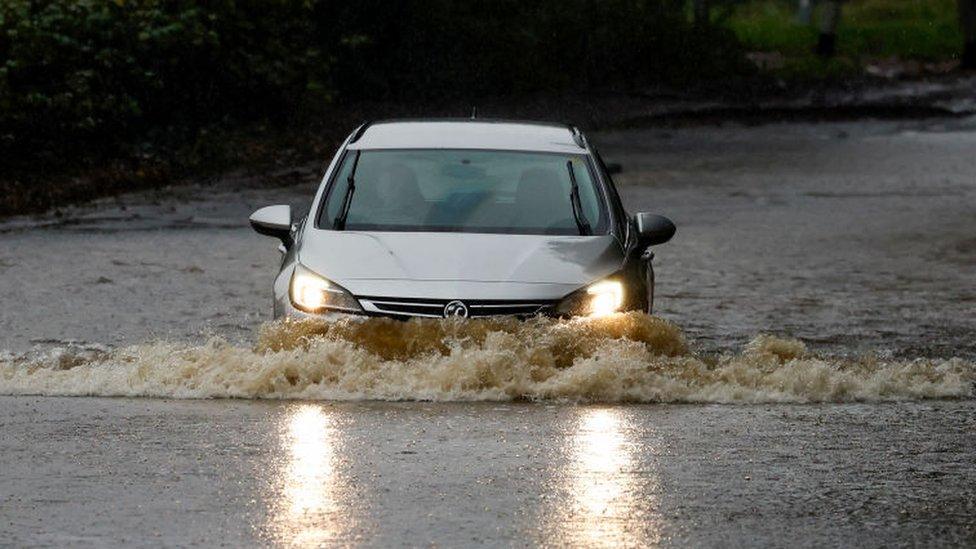
Meanwhile, Police Scotland has urged people to avoid any form of travel during the period of the red weather warning. Driving conditions are expected to be extremely dangerous with disruption and significant delays.
Storm Babet, a complex area of low pressure which developed to the west of the Iberian Peninsula, was named by the Met Office on Monday morning.
It is the second named storm of the 2023/24 season, which started in early September, with the naming convention aimed at making it easier for people to engage with weather forecasts.
The Met Office said the last red warning issued in the UK was for extreme heat in July of last year.
The last UK red warning for rain was in February 2020 in South Wales for Storm Dennis, while the last in Scotland was in December 2015 for Storm Desmond.

What is a red weather warning?
Red is the most severe of the Met Office's three coloured weather warnings.
It means that dangerous weather is expected and, if you have not already done so, you should take action now to keep yourself and others safe from the impact of the severe weather.
It is very likely that there will be a risk to life, with substantial disruption to travel, energy supplies and possibly widespread damage to property and infrastructure.
You should avoid travelling, where possible, and follow the advice of the emergency services and local authorities.
You can read more about the weather warning system here, external

Rain warnings for every county in the Republic of Ireland were in place overnight, having come into effect at various stages on Tuesday.

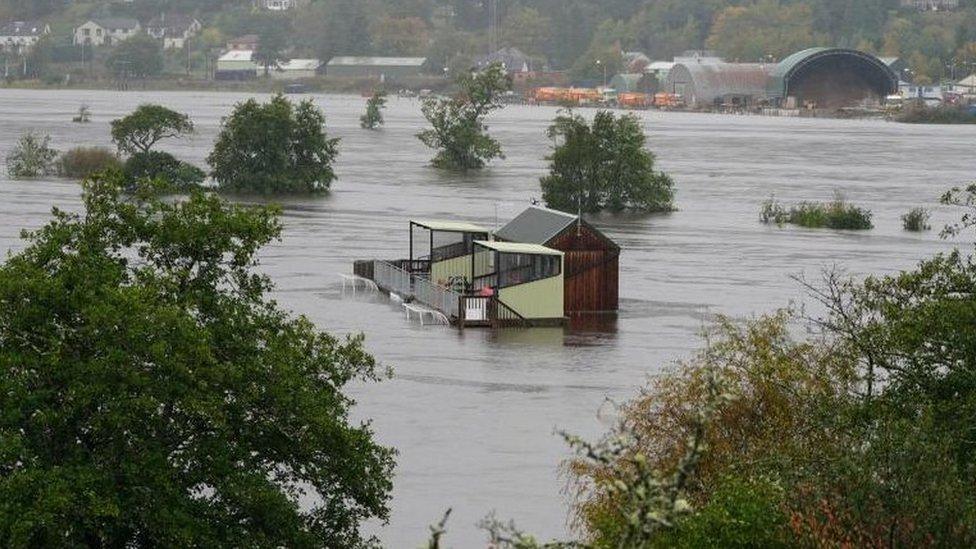
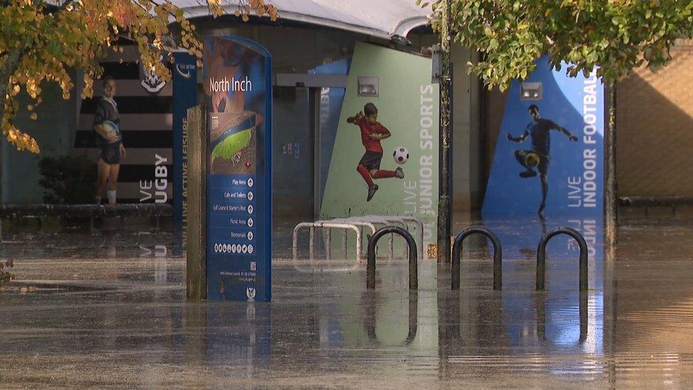
Perth's North Inch floodgates were closed on Wednesday morning
Aberdeenshire Council is urging residents to take advantage of sandbags to help protect properties. The local authority held a resilience meeting on Wednesday.
Perth and Kinross Council said it would close all of its floodgates on Wednesday, with the exception of those at the Queen's Bridge.
The authority confirmed these will be installed on Thursday morning and the bridge will be closed to vehicles and pedestrians.
It will remain closed until the storm has passed, but council workers will be present at the gates to assist any businesses to pass through the gates when it is safe.
The authority was previously criticised over its delay in closing the North Inch floodgates during heavy rain and rising water levels earlier this month, which led to properties and businesses being flooded as a result.
The RNLI warned the strong winds that have been forecast along with heavy rain are likely to cause dangerous conditions for those visiting the coast around the UK and Ireland.
RNLI water safety partner Sam Hughes said: "The RNLI advises staying a safe distance away from the water and cliff edges as the conditions could knock you off your feet or wash you into the sea. It is not worth risking your life."

How have you been affected by Storm Babet? If it is safe to do so, share your experiences, pictures and videos by emailing haveyoursay@bbc.co.uk, external.
Please include a contact number if you are willing to speak to a BBC journalist. You can also get in touch in the following ways:
WhatsApp: +44 7756 165803
Tweet: @BBC_HaveYourSay, external
Please read our terms & conditions and privacy policy
If you are reading this page and can't see the form you will need to visit the mobile version of the BBC website to submit your question or comment or you can email us at HaveYourSay@bbc.co.uk, external. Please include your name, age and location with any submission.
Related topics
- Published18 October 2023
- Published18 October 2023
- Published16 October 2023
- Published13 October 2023
- Published9 October 2023

- Published9 October 2023
