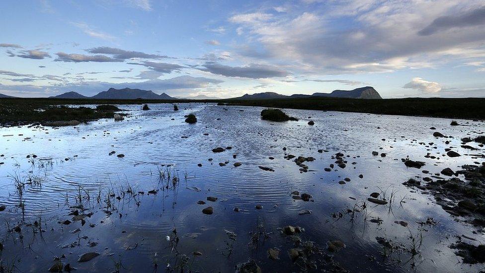
Satellites could help monitor state of Scotland's peat bogs
- Published
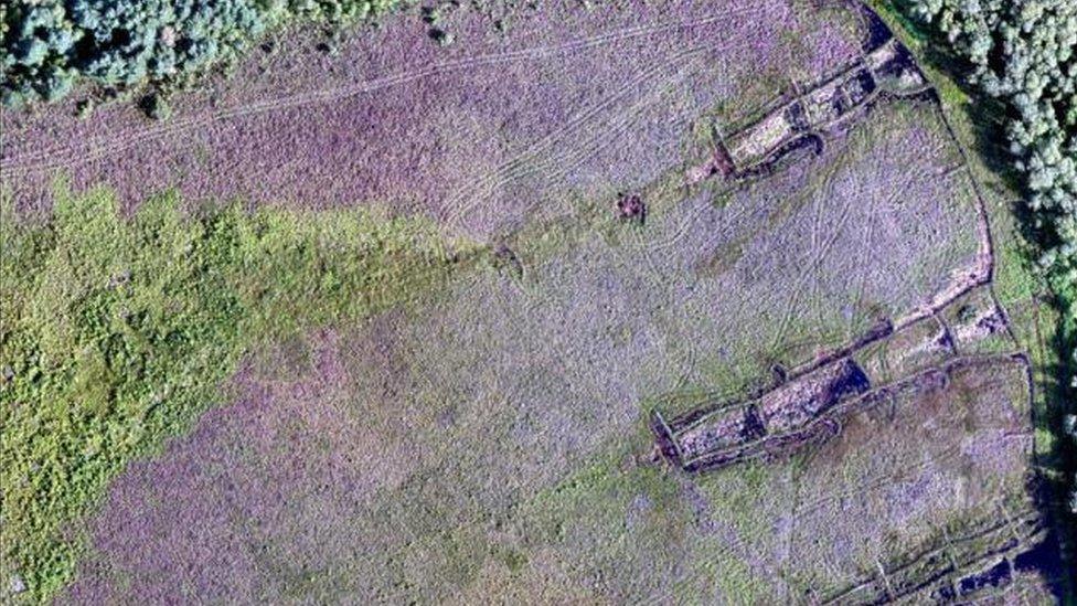
An image taken of peatland at Carsegowan Moss in Galloway by an unmanned aerial vehicle
Satellites and drones offer a new way to monitor the state of Scotland's peatlands, it has been suggested.
Peat bogs cover various parts of Scotland, including large areas of the Northern Isles, Western Isles, Highlands and Galloway.
Efforts are currently being made to restore damaged peatlands.
The Scottish government is working with others in using Earth Observation data, information gathered from air and space, to monitor the bogs' recovery.
Scottish Environment Protection and Scottish Natural Heritage (SNH) are involved in the work with the government.
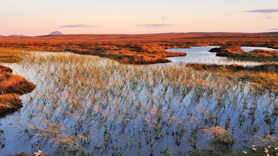
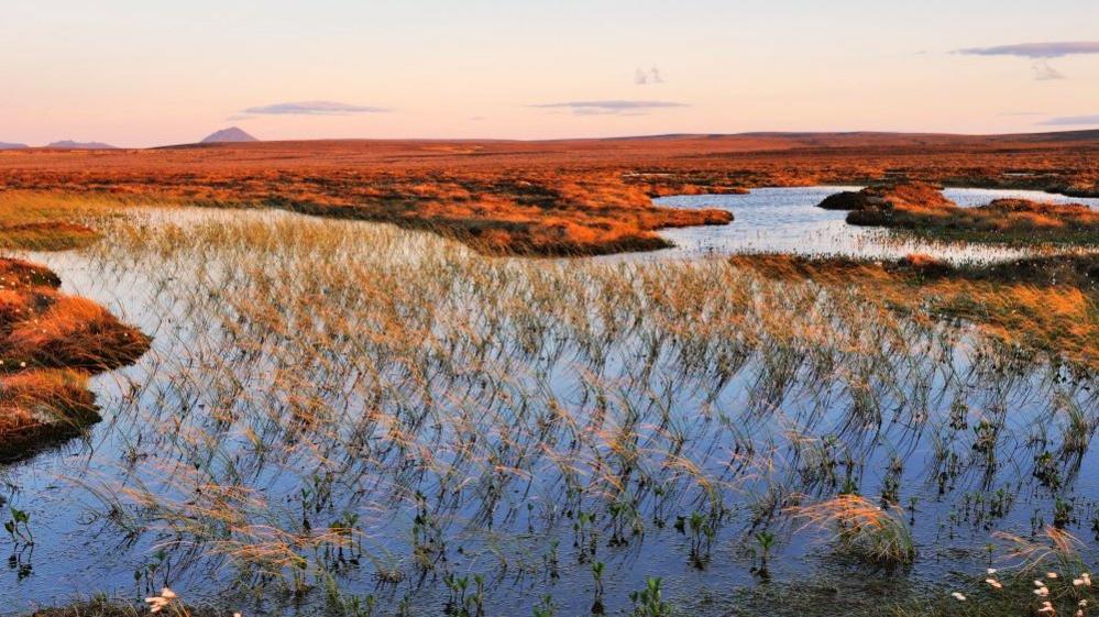
The Flow Country in the Highlands is one of Europe's largest blanket bog peatlands
Minister of Business Innovation and Energy Paul Wheelhouse told the Data.Space Conference in Glasgow earlier this month of the usefulness of the data in protecting peat bogs.
He said images and other information gathered by satellites and drones could also help in monitoring for pollution.
Scotland's peatlands are considered important due to the plants and animals they support, and also because the soil stores an estimated 3,000 megatonnes of potentially harmful carbon.
The Flow Country in Caithness and Sutherland is Europe's largest area of blanket bog peatland, extending to 494,210 acres (200,000ha).
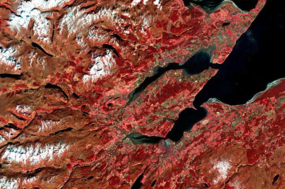
An image of part of the Scottish Highlands from a satellite called Sentinel 2
Aerial imagery is also being looked at as a way of mapping habitats in Scotland.
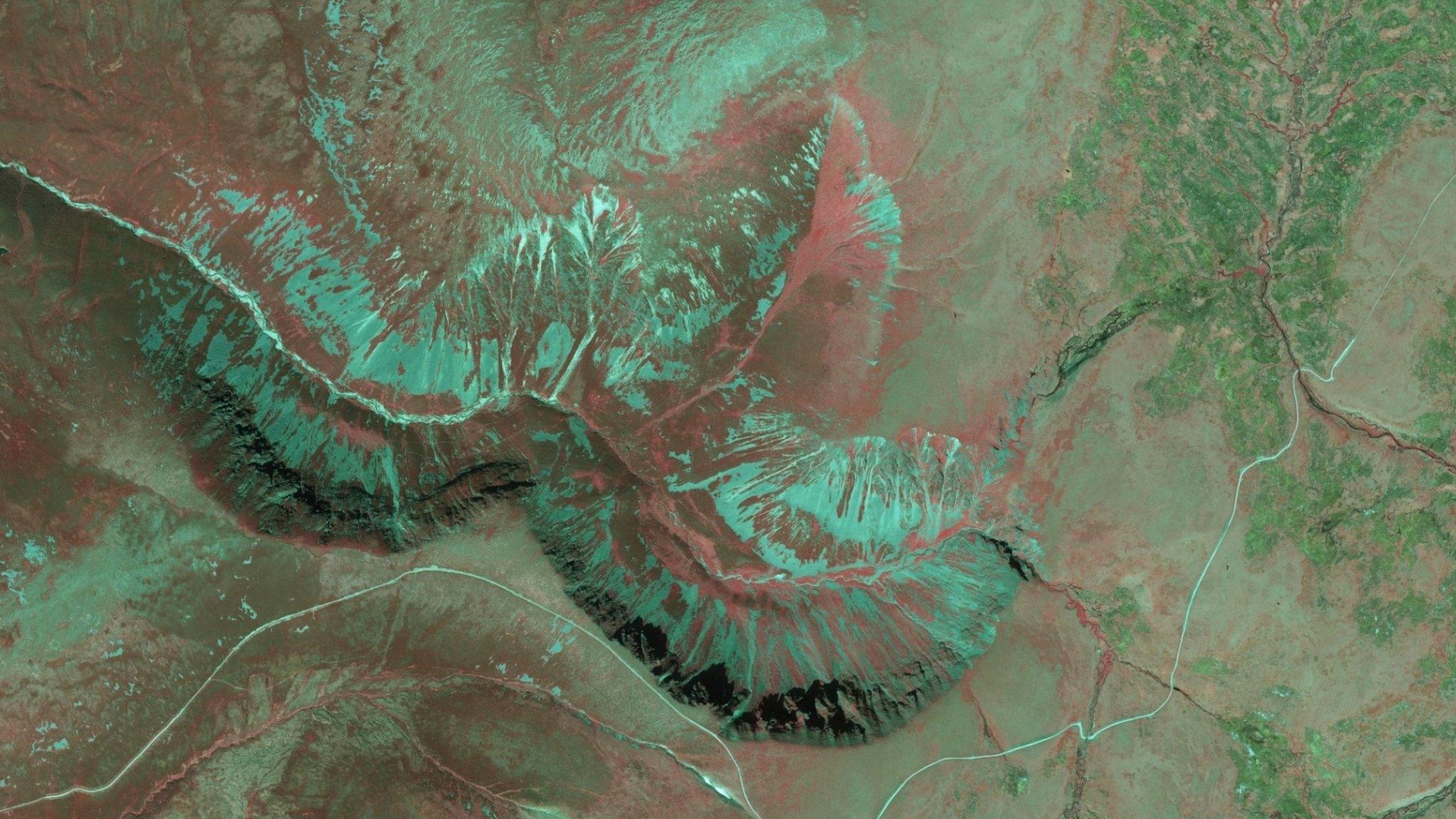
SNH commissioned an investigation into the use of false colour infrared stereo aerial imagery interpretation. The technique is used in Sweden, but is new to the UK.
A small trial was done in Scotland involving an area of Glenfeshie in the Cairngorms.
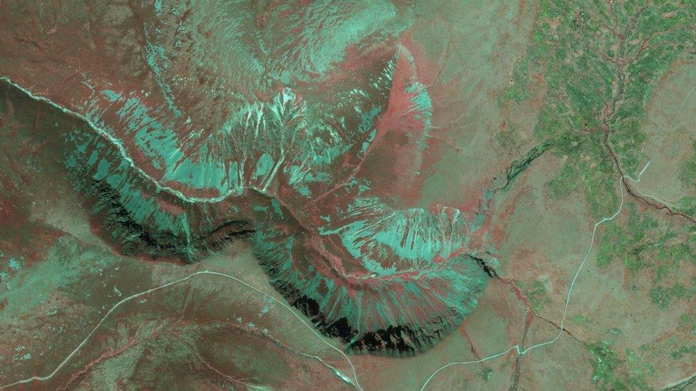
A false colour near-infrared aerial image of Glenfeshie in Cairngorms
- Published15 February 2017
- Published10 November 2015
- Published28 August 2015
