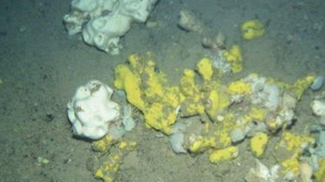
Whale carcass encountered on deep sea survey off Scotland
- Published
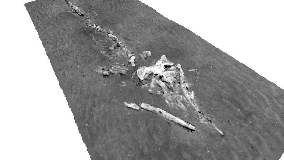
A 3D reconstruction of the whale found 1,000m down on the seabed off the north Highlands coast
An underwater robot has scanned the carcass of an 8m (26ft) whale during work to map an area of seabed off Scotland's north coast.
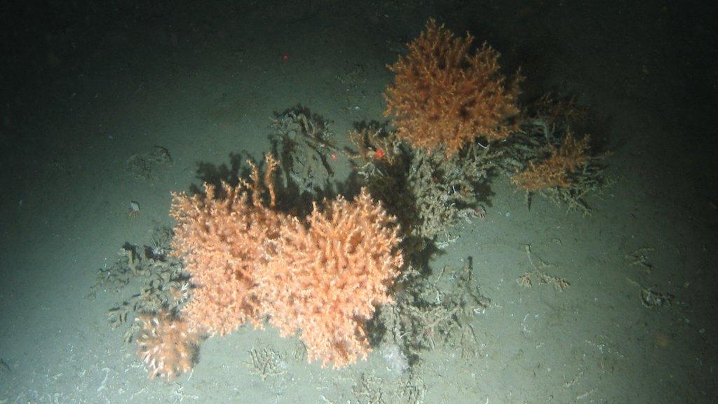
The remains of the animal were found at the Darwin Mounds, a deep sea habitat that includes rare cold water corals.
The whale appears in what has been described as the largest continuous visual map ever obtained of the seafloor in UK waters.
The map has been made by a team from the University of Southampton.
The engineers are part of the first scientific expedition to the Darwin Mounds in eight years.
A marine protected area, the extensive area of sandy mounds lies 1,000m (3,281ft) beneath the surface of the North Atlantic about 185km (115 miles) off Cape Wrath in Sutherland in the Highlands.
Each mound is about 100m (328ft) in diameter and 5m (16ft) high.
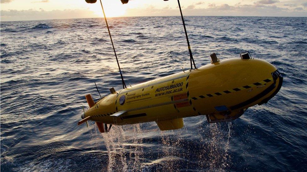
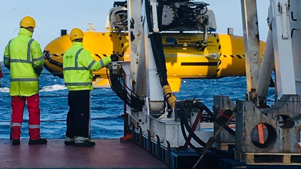
An underwater robot equipped with new technology surveyed the seabed
To create the visual map of the habitat an underwater robot was sent down to the seabed, equipped with a newly-developed deep sea 3D imaging system called BioCam.
The technology was developed at the University of Southampton under a Natural Environment Research Council programme.
During its first 24-hour deployment, the engineers said BioCam was able to visually map the seafloor at 40 times the rate of conventional imaging systems, covering about 50 times the area of a football pitch.
Prof Blair Thornton said the information collected would allow scientists to document changes at the habitat.
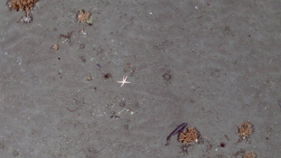
The Darwin Mounds supports cold water corals and other sea life
- Published17 September 2019
- Published13 September 2019
- Published6 September 2019
- Published18 June 2019
- Published27 July 2018
