'Arctic blast' to bring Scotland snow and ice
- Published

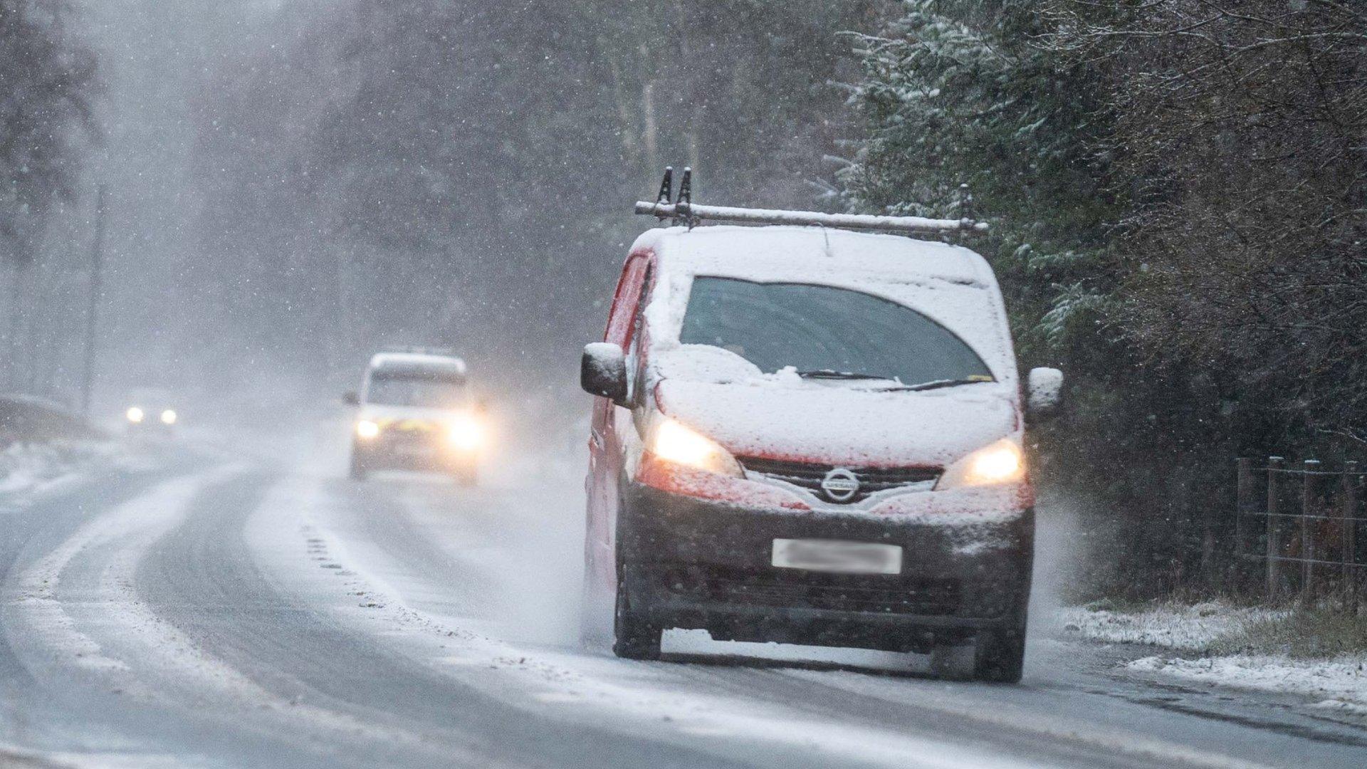
Cars drive in the snow near Lumsden, Aberdeenshire
Large parts of Scotland are set for a prolonged "Arctic blast" with freezing temperatures, snow and ice forecast.
The Met Office has issued a yellow weather warning for areas including Highlands, Moray, Angus and Northern Isles on Wednesday and Thursday.
The weather is not unusual, but follows a wet and mild November.
This time last year Scotland was battered by wind and snow during Storm Barra, coming just days after high winds during Storm Arwen.
The Met Office has a a yellow "be aware" warning, external for snow and ice in place from the start of Wednesday to midday on Thursday.
Forecasters said snow would fall to low levels inland, and showers would continue through the day and night into Thursday morning.
Snow gates at the Spittal of Glenshee were closed on Wednesday morning.
The Met Office said accumulations of up to 5cm (2in) were possible at lower levels, with as much as 10cm (4in) above 200m (656ft).
It said: "Some drifting and blizzard conditions are likely in the strong northerly winds.
"In addition, ice is likely to form on untreated surfaces, mainly where some of the showers fall as rain or sleet on some coasts."
Allow X content?
This article contains content provided by X. We ask for your permission before anything is loaded, as they may be using cookies and other technologies. You may want to read X’s cookie policy, external and privacy policy, external before accepting. To view this content choose ‘accept and continue’.
There is also a warning for ice in place from 18:00 on Wednesday to midday on Thursday for East Lothian, Scottish Borders and eastern parts of England, external.
A further alert is in place across southern Scotland, external from 16:00 on Thursday until 12:00 on Friday when ice could cause issues.
Wintry showers could fall on already frozen ground leading to the creation of icy patches.
Earlier this week, the coldest night of the winter so far was recorded at Altnaharra in the Highlands where the temperature dropped to -6.6C.
BBC Scotland Weather's Judith Ralston said strong northerly winds would bring frequent snow showers for the north of Scotland over the next few days.
She said: "The source of the air is the Arctic, so it is fair to say we're in for quite a prolonged Arctic blast which is not unusual for us in Scotland, bearing in mind it is December.
"We usually see at least one proper very cold, wintry spell during the winter months, but it is fairly early in the season for this."
She added: "After what has been a very mild and wet November this cold spell we are about to enter will come as a real shock to the system
"This cold spell looks set to last well into next week."

Storm Barra brought snow and high winds to Scotland this time last year
Central and southern Scotland are expected to remain largely dry, sunny by day with clear skies at night.
Night-time temperatures widely across Scotland could fall to -5C or -6C.
Storm Arwen hit late in November 2021 with its wind gusts of about 100mph bringing down trees and power lines, leaving tens of thousands of homes without electricity.
The north-east of Scotland, Dumfries and Galloway and the Scottish Borders were among the areas worst hit.
Some of the affected electricity supplies had just been restored when Storm Barra arrived in early December, with snow and high winds across much of the country.
Related topics
- Published6 December 2022
