3D laser maps aim to assess damage to Welsh islands
- Published
360 degree animation of Bardsey Island
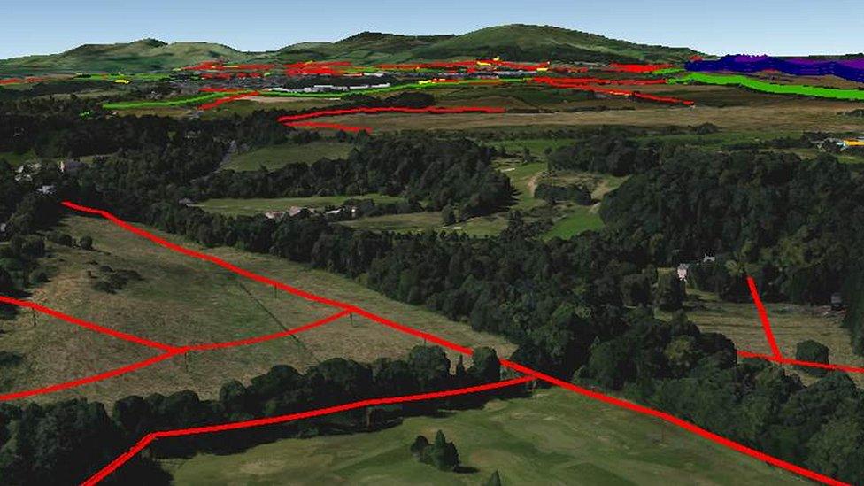
Animation showing the threat of climate change is on the horizon, thanks to new 3D laser mapping.
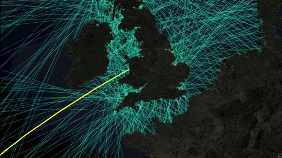
Laser mapping will be used to measure the impact of extreme weather on six Welsh islands in the Irish sea.
The aircraft beams will assess the effect of rising sea levels and storms on locations, including Bardsey and Ramsey islands.
The mapping will also create "stunning" animations as part of the first 3D data for many of the islands.
Led by the Royal Commission of the Ancient and Historical Monuments of Wales, the five-year project will assess the damage done to archaeology and heritage sites by coastal erosion.
"This is an exciting new project, bringing a strong partnership of archaeologists, geoscientists and maritime specialists to bear on the significant challenges posed by climate change," said commission secretary Christopher Catling.
- Published24 December 2016

- Published30 March 2017
