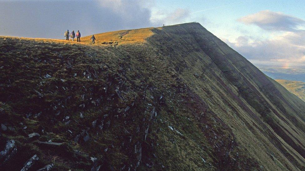
Foel Penolau: How a Welsh hill became a mountain
- Published
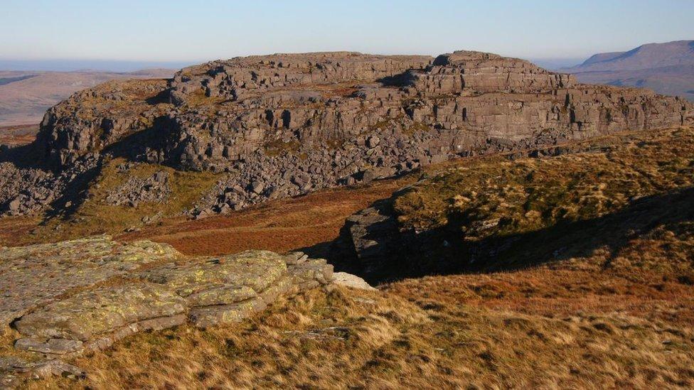
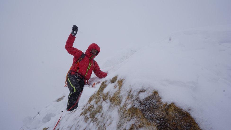
Surveyor Myrddyn Phillips said the popularity of Foel Penolau might increase now it has been upgraded to a mountain
Two Welshmen went up a hill, but came down a mountain.
That's because Myrddyn Phillips and Aled Williams are surveyors who found a Snowdonia hill was in fact a mountain.
While Foel Penolau is over the 2,000ft (609.6m) required to be a mountain, the minimum drop between the col - the lowest point on a ridge between two peaks - and summit was under 98ft.
The pair have found that the drop has now increased to 104.6ft, and is therefore a mountain.
As a result of the survey, Foel Penolau has been included in the list of Hewitts - hills in England, Wales or Ireland over 2,000ft high which have a minimum drop of 98ft.
Foel Penolau, in the northern Rhinogydd range, was previously classified as a hill because there was just 85ft (26m) of drop from col to summit.
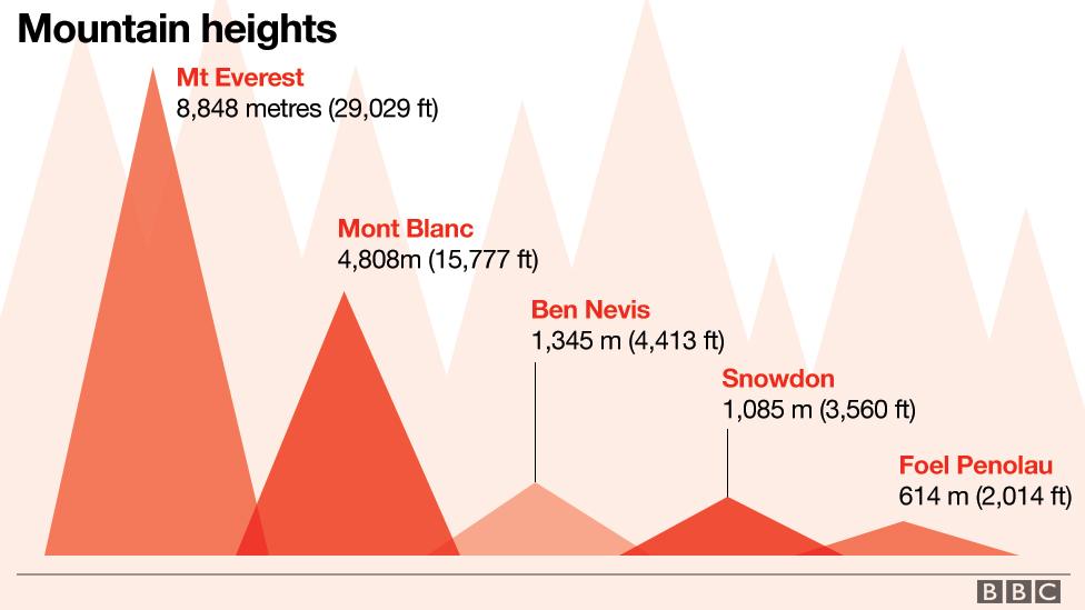
This is how Foel Penolau compares to other mountains in the UK and further afield
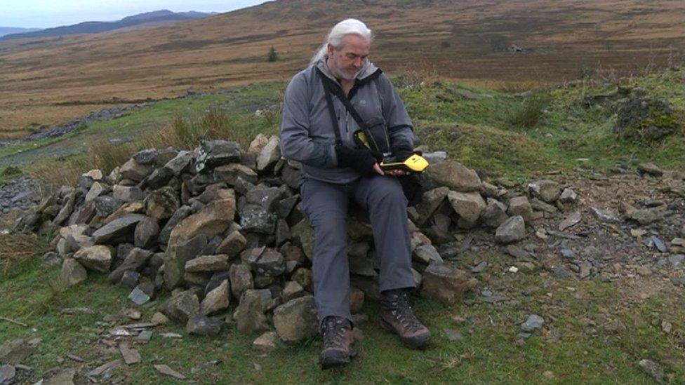
Myrddyn Phillips has been measuring mountains for almost 20 years
Col is a French word used universally to refer to the lowest point on a mountain ridge between two peaks. The feature is called a bwlch in Welsh, or a saddle in English.
Mr Phillips and Mr Williams suspected the drop at Foel Penolau might have changed because the col is made up of a large boulder field liable to movements.
"It is one of the many ridges I and colleagues measured over many years - it is a fantastic ridge," said Mr Phillips, 57, a mountain surveyor and blogger, external from Welshpool.
In August, Fan y Big in the Brecon Beacons was downgraded to a hill after Mr Myrddin measured its col to summit height at 93.5ft.
Previously mountain heights were recorded by a process called photogrammetry, which involved flying over and taking measurements of the distance to the land below.
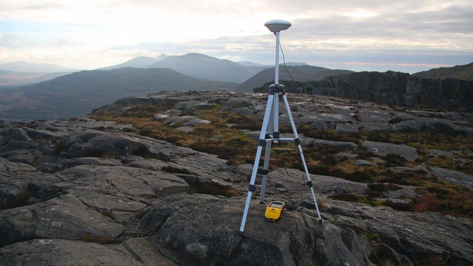
The Trimble GeoXH 6000 is far more accurate - and easier - than older methods
Mr Phillips explained that the device he uses, a Trimble GeoXH 6000, has a margin of error of just 4in (10cm) compared with 9.8ft (3m) for the older process.
But the decision to measure Foel Penolau came from good old-fashioned gut instinct.
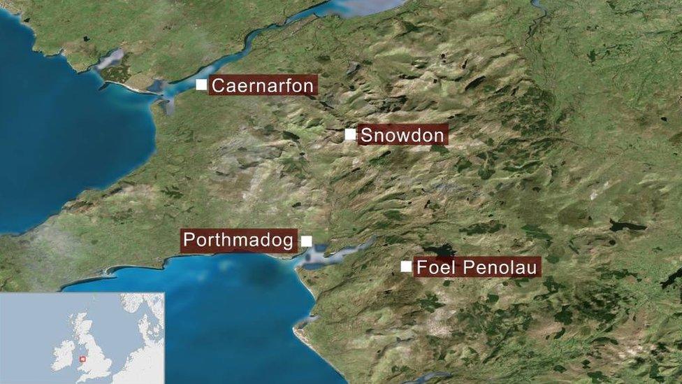
Foel Penolau is in the Rhinogydd range of Snowdonia National Park
"We had an inkling. It is one we have wondered about for a few years but you never know until the results come in," he said.
"But everything tied up so nicely and all matched. It is a stunning mountain, and one of the best in Wales in my opinion."
Wales now has 136 Hewitts and it is the first time a Welsh hill has entered the classification due to its drop value since the list was first published in 1992.
- Published19 March 2018
- Published12 December 2017
- Published22 August 2018
- Published16 August 2018
