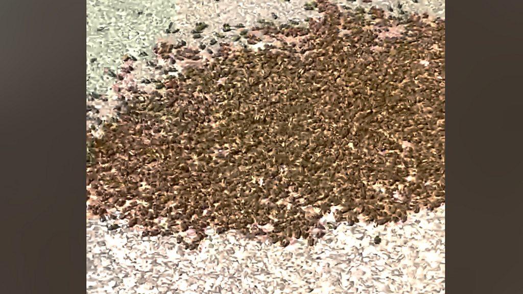
Wales becomes first country to map important areas for insects
- Published
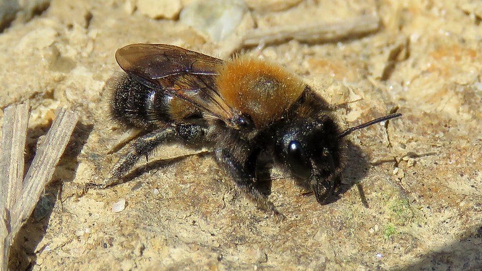
The Cliff Mason Bee is only found on two short stretches of clifftop on the Llŷn Peninsula, in north west Wales
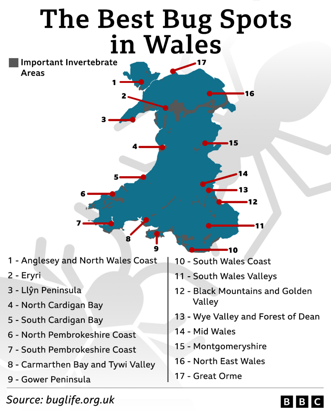
Wales has become the first country in the world to map its most important areas for insects, conservationists say.
A five-year project analysed 45 million records collected by naturalists to identify key sites.
Wales has suffered "drastic declines" in recent decades, according to the charity Buglife.
England and Scotland are also being mapped by experts, with hopes that a full Great Britain map can be produced.
Wales is home to over 20,000 different invertebrate species.
There were 17 so-called Important Invertebrate Areas (IIAs) identified in Wales, external, covering 1,344km2 or 6.5% of the country.
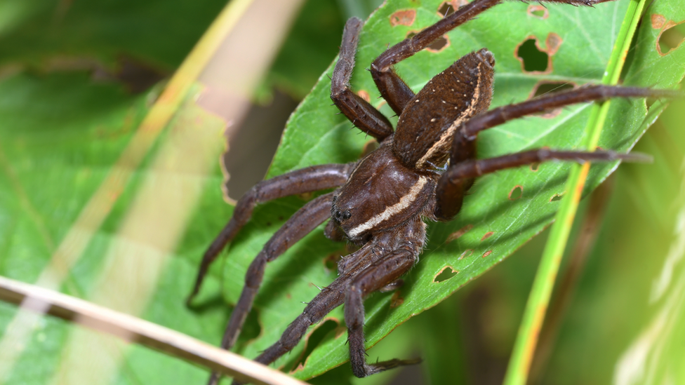
One of the country's largest spiders can be found in Crymlyn Bog on the outskirts of Swansea
The areas were home to more than 10,800 species in total, 350 of which were classed as being "of conservation concern", while 15 were critically endangered.
They included the cliff mason bee - found nowhere else in Britain apart from on two short stretches of clifftop on the Llŷn Peninsula, in north west Wales.
And the scarce yellow sally stonefly, found only on the River Dee in the north east, and once feared extinct.
What is an IIA?
While not a formal designation - like a national park or site of special scientific interest - IIAs are designed to highlight places that are home to nationally or internationally significant invertebrate populations and their habitats.
They are decided upon by a panel of experts in the field, using data from 80 national invertebrate recording schemes.
In recent years, work to map them at a fine-scale, one-by-one has been taking place working with local naturalists - flagging up key species, the threats they face and opportunities to improve the landscape.
Crymlyn Bog on the outskirts of Swansea is one of only three locations throughout the UK where you'll find one of the country's largest spiders.
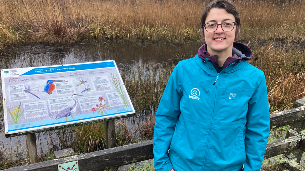
Clare Dinham, Wales manager for Buglife, hopes the new maps will help people celebrate wildlife
The fen raft spider is semi-aquatic, and is described by Clare Dinham, Wales manager for Buglife, as a "very cool species".
It can walk on water thanks to its hairy legs, which are also very sensitive and help it detect its prey - which can be anything from other insects, to tadpoles and even small fish.
Ms Dinham said she hoped the new maps would help people "learn about and celebrate their local wildlife".
The information could also be used by wildlife charities and Natural Resources Wales (NRW) to plan future conservation work, and inform decisions taken by local authorities on planning applications, she said.
"Overall invertebrates are in decline, which is a huge concern - they're a key part of the food chain for a wide variety of wildlife, they're essential in pollination, healthy soils and water - so they're so important to us as humans," she said.
Programmes manager at Buglife Jamie Robins added that mapping Wales' IIAs was "only the beginning".
"We need decision makers to recognise the important role that invertebrates play and use our IIAs to prioritise much needed conservation action," he said.
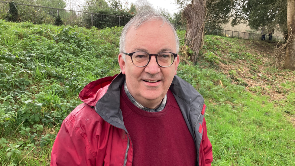
Hefin Jones from Cardiff University's school of biosciences says the new maps as "a real godsend"
Crymlyn Bog is part of a five year peatland restoration project run by NRW with EU and Welsh government funding.
It's targeting quaking bogs - so-called because the ground should quake underfoot when conditions are right - as well as other peatland landscapes - seen as vital in the fight against climate change due to their ability to soak in and store carbon dioxide.
Mark Bond, the scheme's communication and engagement officer said 90% of Wales' peatlands were currently in an unsatisfactory state and a "number of interventions were being put in place".
"Through addressing the hydrology and removing invasive plants, we will hopefully be able to promote the healthy growth of the peatland which is then home to incredible species like the fen raft spider," he said.
Related topics
- Published11 October 2023
- Published27 May 2022
- Published18 May 2023
