Pembrokeshire coast national park is on Google Street View
- Published

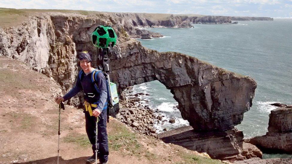
National park authority warden Alex Payne films the route
People can now take a virtual walk of the Pembrokeshire coast path national trail after it was added to Google Street View.
The route covers 186 miles (299 km) from Amroth to St Dogmaels and passes cliff tops, beaches and estuaries.
It took 28 days between April and June 2016 to film after Google loaned the authority a backpack-mounted camera.
Rights of way manager Anthony Richards said it "shows the national park at its absolute best".
People can access the route, external on their mobile phone, computer or tablet.
In total, Google plans to make 15 national trails available on street view.
- Published17 March 2016
