Typhoon Haiyan: Images of then and now
- Published

Typhoon Haiyan, with its brutal winds and resulting storm surge, tore across central Philippines 12 months ago, killing or leaving missing more than 7,000 people.
The storm, the most powerful to ever make landfall, external, destroyed many of the country's low-lying coastal farming and fishing communities - already among the nation's poorest.
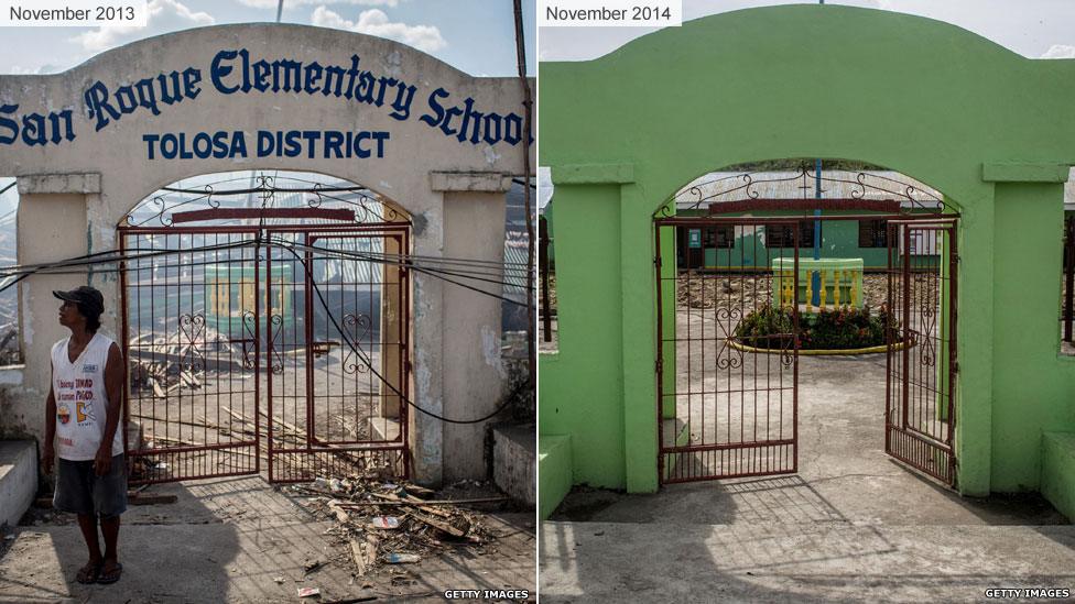
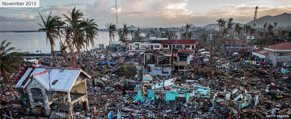
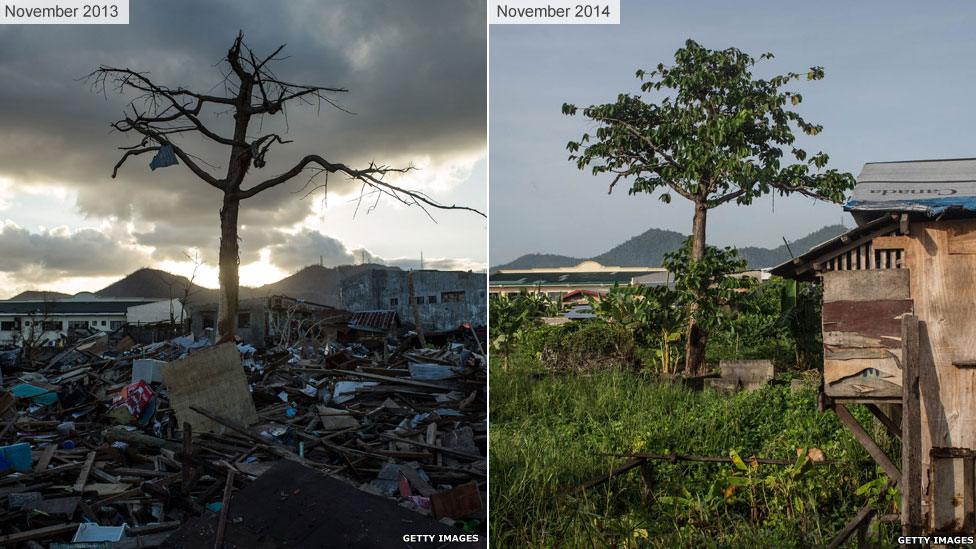
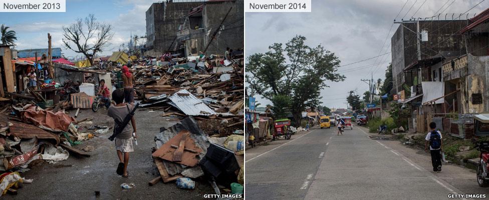
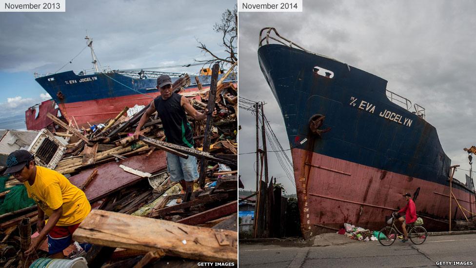
Images taken in affected areas after the storm and a year later show how people are now picking up the pieces of their lives.
Magallanes district, Tacloban
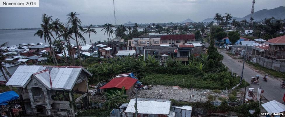

Anibong district, Tacloban

Airport road, Tacloban

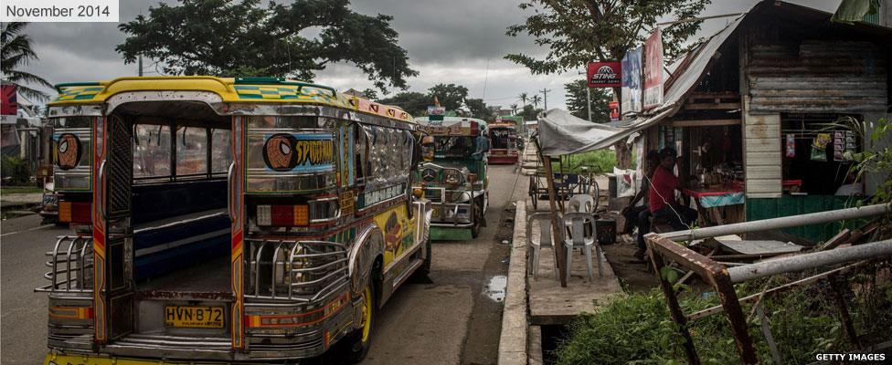

San Roque Elementary School, Tolosa, Leyte
