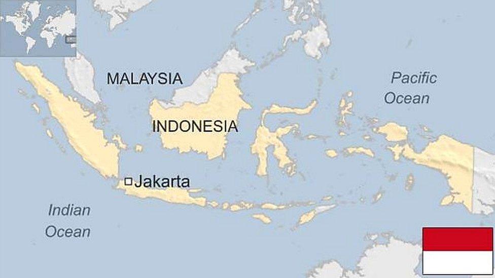
Bali volcano: What's happening at Mt Agung?
- Published
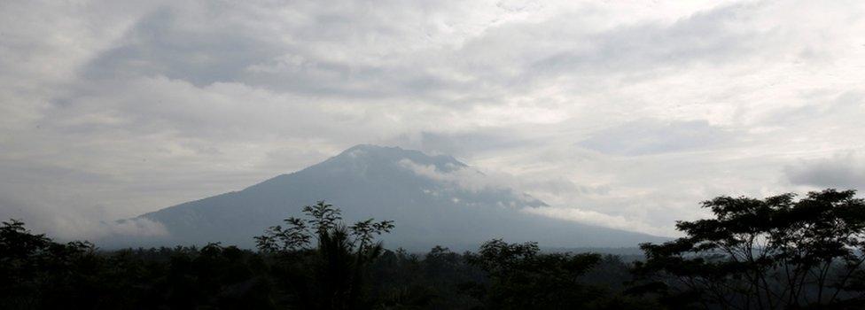
The Indonesian island of Bali is under its highest alert level as an active volcano is showing signs it might be about to erupt.
Volcanic activity is nothing new for Indonesia - it has more volcanoes than anywhere else on Earth. But as an island dependent on agriculture and tourism, Bali has reason to be looking warily at Mt Agung.
What is happening at Mt Agung?
In recent days, large tremors have been taking place around Mt Agung, Bali's biggest mountain.
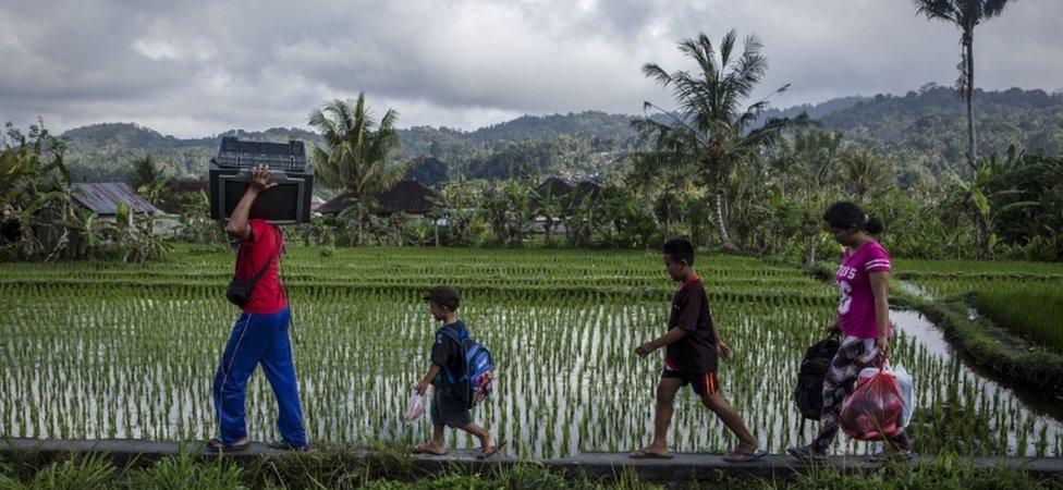
Tens of thousands of people have already moved away from the volcano
Indonesia experiences earthquakes almost every day, but these have been ominous indications that magma is on the move. Smoke is also being emitted from the crater.
The authorities now say there is a "very high" risk of an eruption. A 12km total exclusion zone has been set up and more than 40,000 people have been moved out of the area.
Has Mt Agung erupted before?
Yes, mostly recently in March 1963, and it was huge. More than 1,000 people were killed.
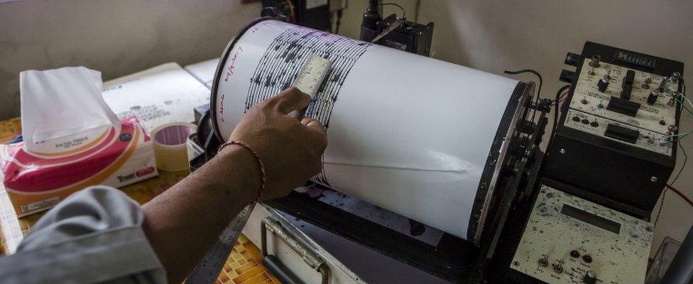
Tremors around the volcano have been increasing in recent days
Most of them were caught in the pyroclastic flow - a fast-moving mix of hot gas and rocks - or by a mix of water and volcanic matter known as lahar, which wiped out several villages. Before that, Mt Agung had been dormant for more than a century.
"We hope this time it will not be that big," Kasbani, head of the Indonesian Centre for Volcanology and Geological Hazard Mitigation, told AFP.
"But we need to be prepared for the worst case scenario and prioritise vigilance."
What are scientists looking for?
The recent seismic activity tells us "something is definitely happening", Dr Janine Krippner,, external a New Zealand volcanologist based in Pittsburgh, US, told the BBC.
Such behaviour is "very normal for a volcano that is active, potentially leading to an eruption", she says. So scientists will be studying the type of quake and the amount of energy in that quake.
"That can tell you what is happening under the volcano."
But they'll also be looking for what gases the volcano is emitting
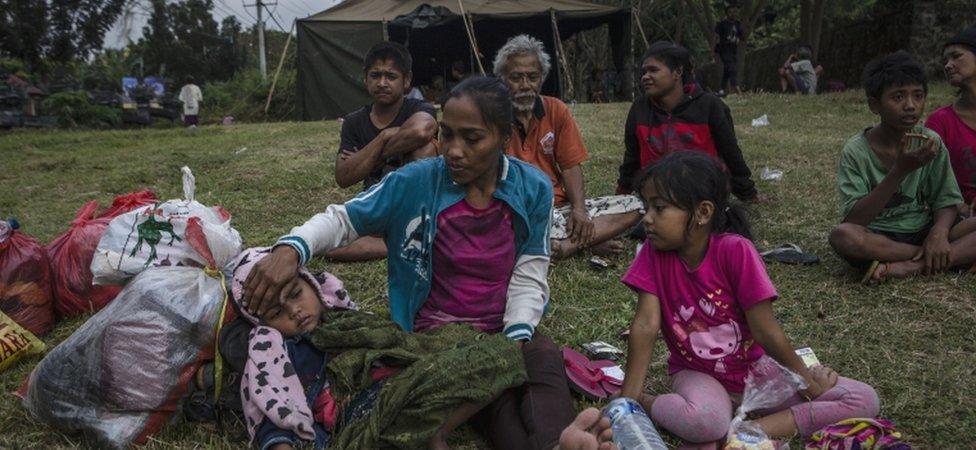
People living in the danger zone have been moved into temporary shelters
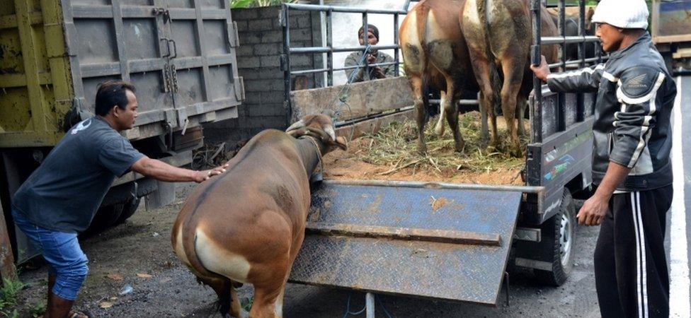
Not everyone will be able to take their cattle with them when they leave
Dr Krippner compared volcanoes to a bottle of fizzy drink - when the cap is on you know the gas is there, but you can't see it. When you take the top off, the gas rushes out.
"That's what volcanoes do, as the magma is moving up. Different types of gas start coming out at different depths."
Will there definitely be an eruption?
No, says Dr Krippner.
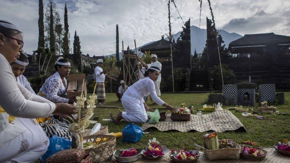
Despite being in the evacuation zone, Hindu worshippers were offering prayers for safety at Besakih temple
"You can't tell when a volcano will erupt. You can't tell how big it will be and you can't tell how long it will last."
What you can do, however, is be prepared.
How are people being kept informed
Based on scientific advice, the authorities issue hazard maps, highlighting the areas that might be at risk from lava or pyroclastic flow, and share that information through the mainstream and social media.
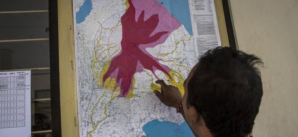
Hazard maps highlight the areas which have been evacuated and might be at risk in an eruption
Dr Krippner says translating complex information to local people - and convincing them to believe it and leave - is a key challenge for scientists and emergency services.
The head of the disaster mitigation department has been putting out regular advice on Twitter, external (in Bahasa), but there's always room for confusion and rumour.
He's also been shooting down various hoaxes, external, including a video doing the rounds which claims to show Mt Agung erupting. It's actually a scene from a much earlier eruption of Mt Sinabung on Sumatra.
Should I cancel my holiday?
Bali is about 246km across at its widest. Most of the tourist facilities and the airport are located in the far south, in Kuta and Seminyak, close to the airport and a long way from Mt Agung, in the far east.
There is no indication that any of those areas are in danger of being caught up directly an eruption.
Allow X content?
This article contains content provided by X. We ask for your permission before anything is loaded, as they may be using cookies and other technologies. You may want to read X’s cookie policy, external and privacy policy, external before accepting. To view this content choose ‘accept and continue’.
But if the volcano does erupt, you might find yourself staying in Bali a lot longer than you planned, because it would shut down the airspace.
A few more days on the beach might sound good, but bear in mind your insurance might not cover any costs you incur. So check with your insurer.
Bucek, who manages an office for Adventure Indonesia in Sanur, on the south-east coast, said so far he's had no calls about cancellations.
The Pura Besakih temple, Bali's biggest temple, is on the slopes of Mt Agung so visits to that are off, but other tours are still going ahead. Most of his guests, he says, are there for the beach anyway.
As of Monday morning the Bali tourism board, external says there is no impact on flights or ferries on and off the island.
Bucek, who uses only one name like many Indonesians, says it's previously taken one or two weeks for flight bans to be totally lifted.
Until then, he says, the tourism industry will continue working as usual. "Hopefully it won't erupt," he says.
- Published25 September 2017

- Published25 October 2024
