Isle of Man grave mapping project to uncover social history
- Published

The Isle of Man has 36 Church of England sites
A grave scanning project across the Isle of Man and England will uncover "all sorts of insights for us", the island's bishop has said.
The Church of England is set to map 19,000 churchyards over seven years.
It aims to put together a free digital map of each grave by using laser scanning equipment, GPS and cameras.
Rt Rev Peter Eagles said it would be "a real gift to people who are researching not just family history, but national history and social history".
He said it would also improve understanding around burial practice and memorialisation, "all sorts of things around the reverence and care with which people are laid to rest".
However he said it was "impossible to say" how many graves would be mapped across the Isle of Man, as many of them may not be visible or have grave stones.
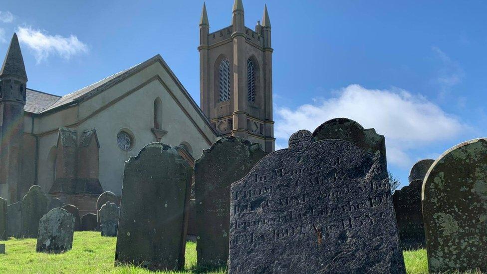
The bishop said some of the island's burial grounds "are amongst the most intriguing and I would think historically valuable that you would find anywhere in the British Isles".

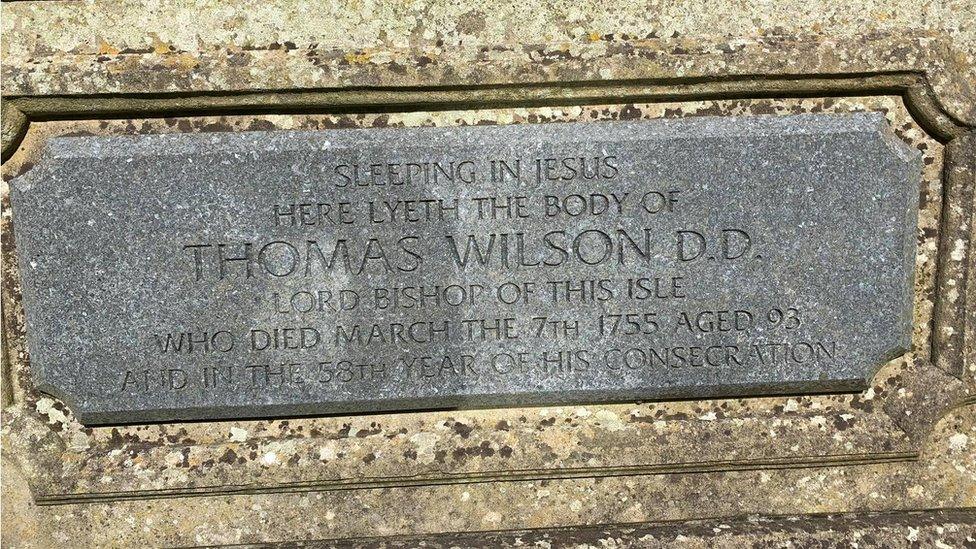
Many of the island's former bishops are buried in Kirk Michael's parish churchyard
Sarah Christian, secretary of the Family History Society, said a heritage trail at St George's churchyard in Douglas was "really interesting with the cholera graves".
"Malew is particularly interesting and in Kirk Michael you've got all the bishops who are buried there," she said.
The bishop said the online interactive map would provide information about trees, plant life and biodiversity which "feeds of course into our environmental care".
"It's not just about looking back into history, it's also about the present. How we care for the heritage that we have and the future, how we look after it and how we treasure it," he said.
"It will be wonderful just to see what emerges".

Why not follow BBC Isle of Man on Facebook, external and Twitter, external? You can also send story ideas to northwest.newsonline@bbc.co.uk, external