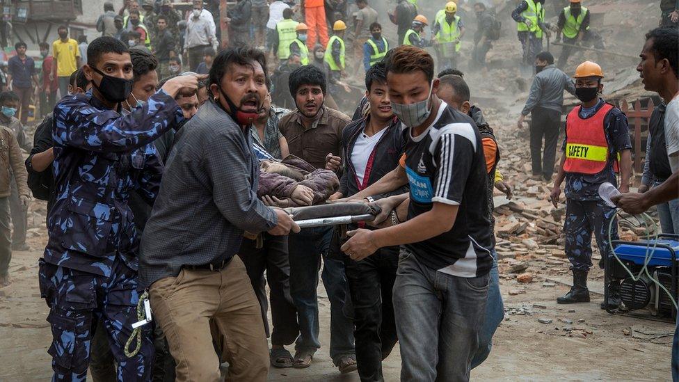
In pictures: Deadly earthquake in Iran and Iraq
- Published
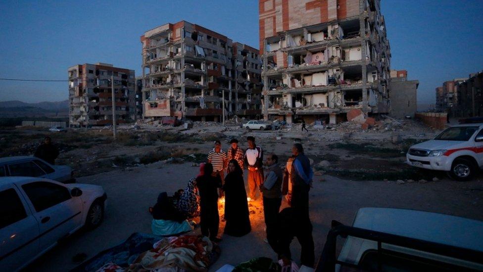
The full extent of the damage on the Iran-Iraq border became clear at sunrise on Monday
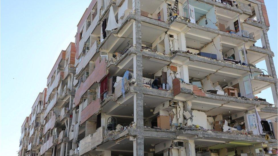
The magnitude-7.3 earthquake is the deadliest to strike so far in 2017
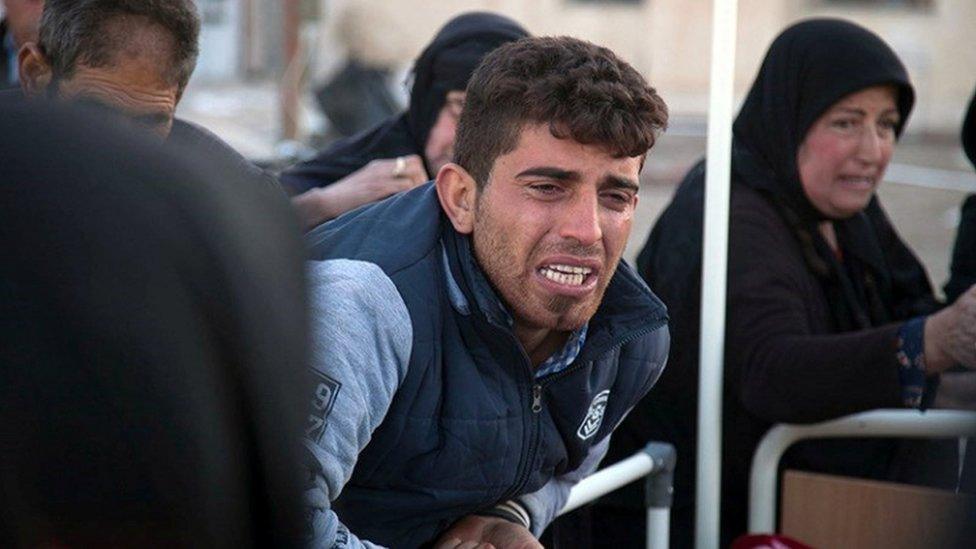
The death toll from the earthquake reached the hundreds hours after it struck on Sunday evening
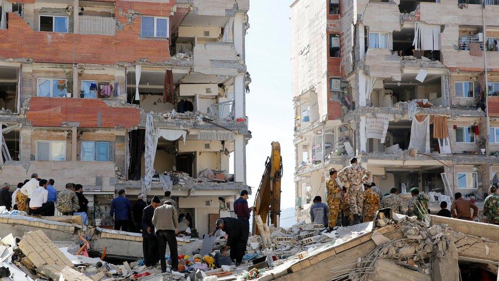
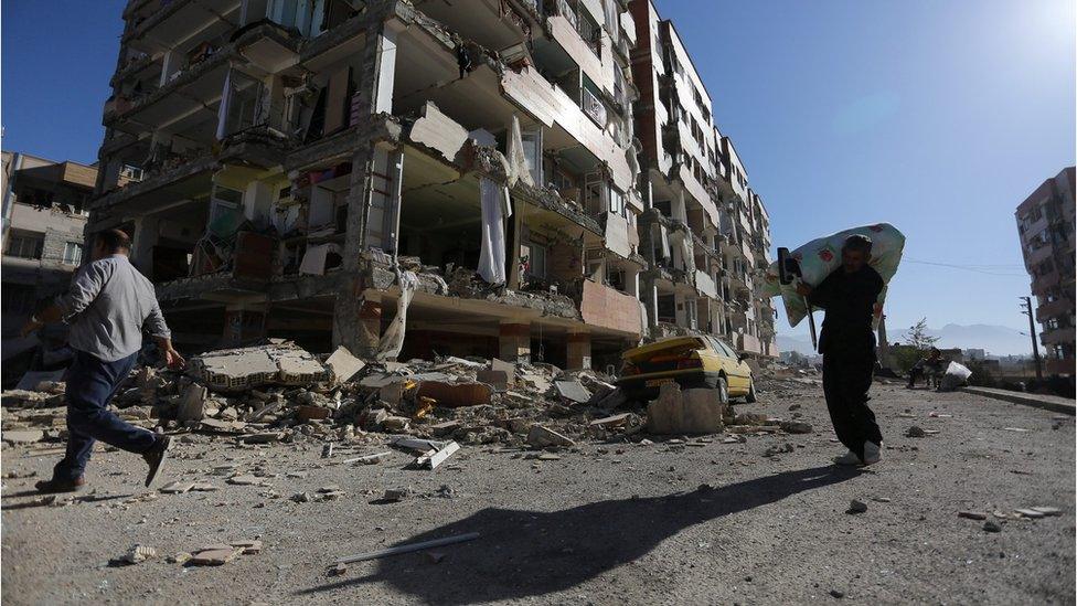
The earthquake caused significant devastation in the city of Sarpol-e Zahab in Iran's Kermanshah Province
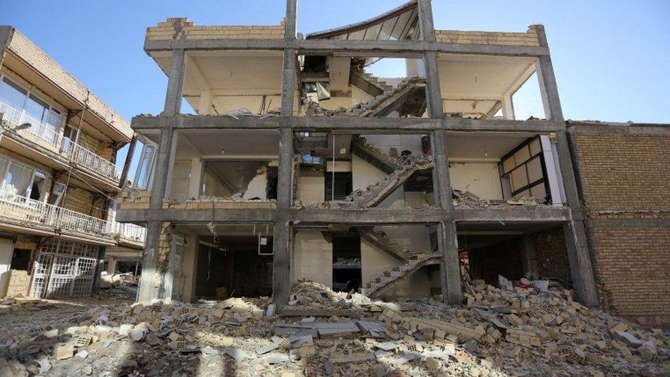
Many buildings in Sarpol-e Zahab were reduced to shells
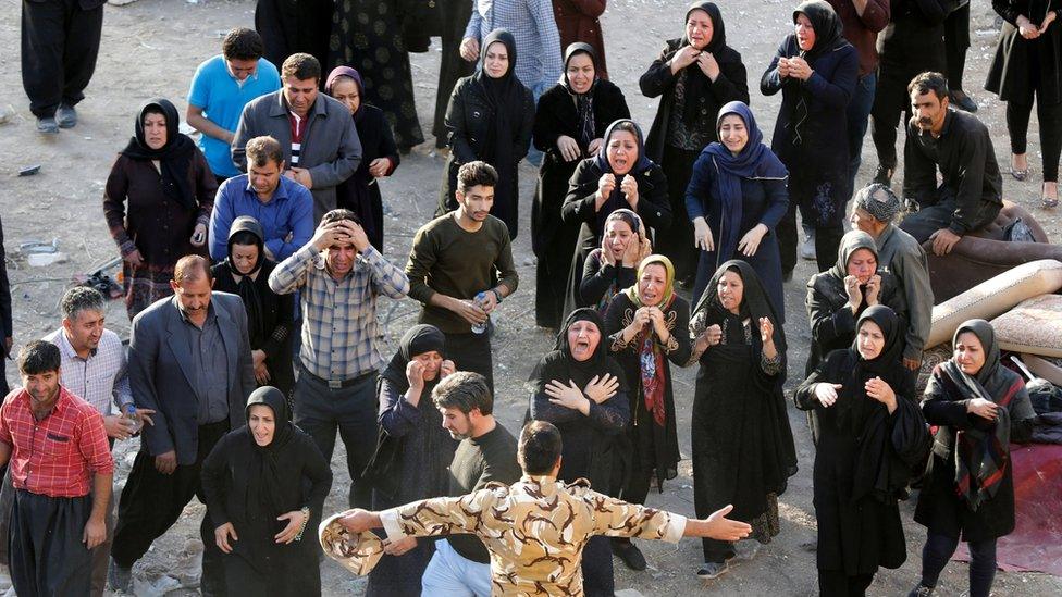
Relatives of one victim try to get closer to the body in Sarpol-e Zahab
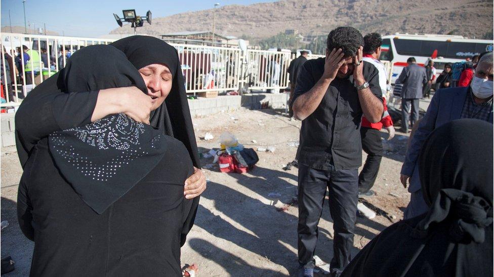
The epicentre of the quake was in north-east Iraq, but neighbouring Iran saw the worst of the damage
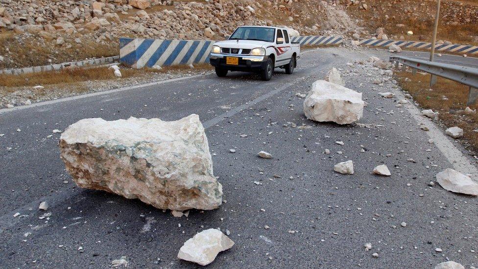
Large rocks fell on to the road near the Darbandikhan Dam in northern Iraq
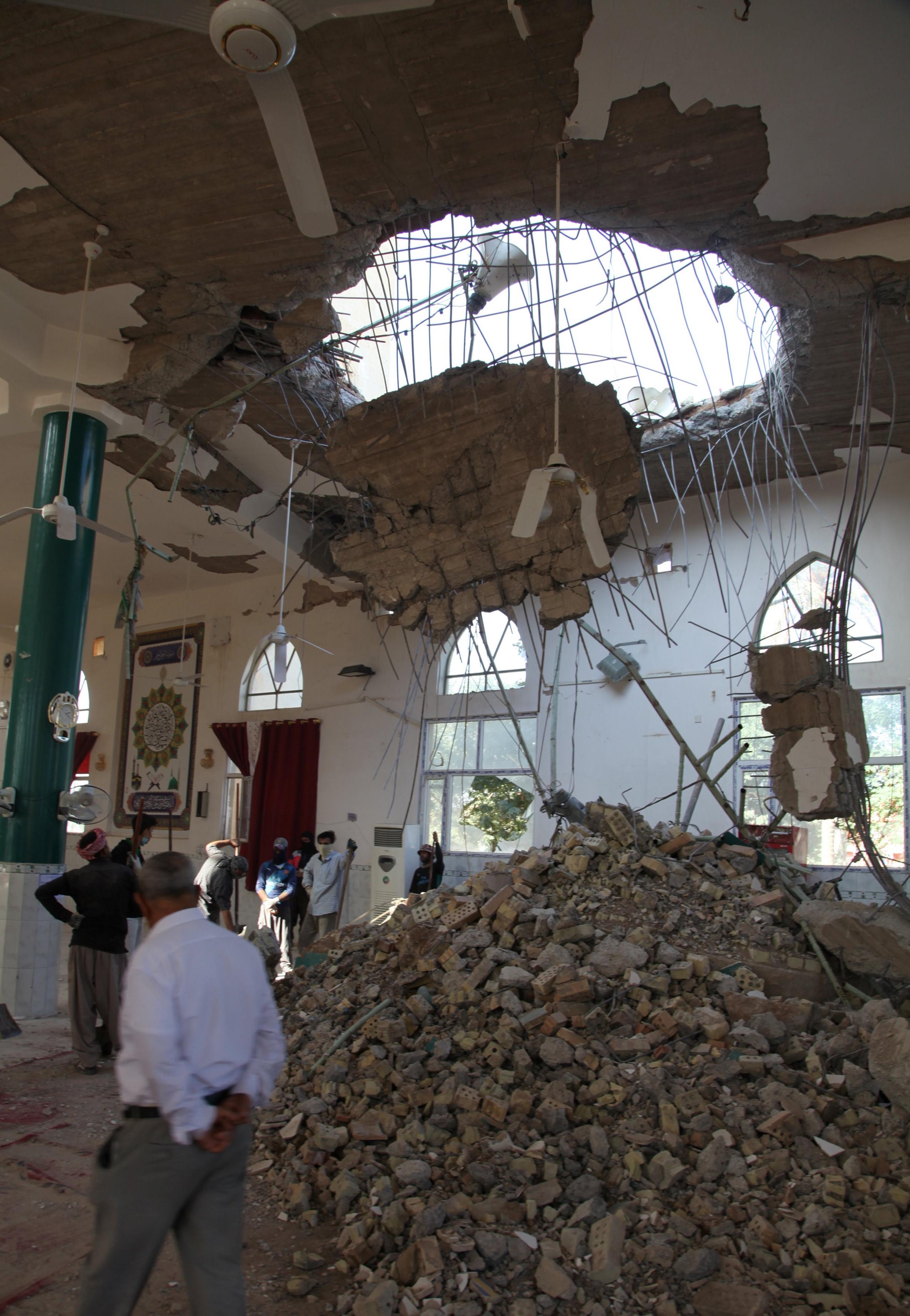
This mosque in Diyala province east of Baghdad suffered serious damage
- Published13 November 2017
- Published22 June 2022
