California earthquake leaves scar on the desert
- Published


The strongest earthquake to hit California in two decades left a scar across the desert which can be seen from space, new pictures show.
The 7.1 magnitude earthquake struck on Friday at a depth of just 0.9km (0.6 miles), creating a fissure near its epicentre about 240km north-east of Los Angeles.
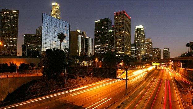
It was felt as far away as Phoenix, Arizona - more than 560km south-east.
A 6.4 magnitude earthquake had struck nearby the day before.

A Ridgecrest resident puts her leg in the crack created by the earthquake

Roads in the area were cracked by the shaking
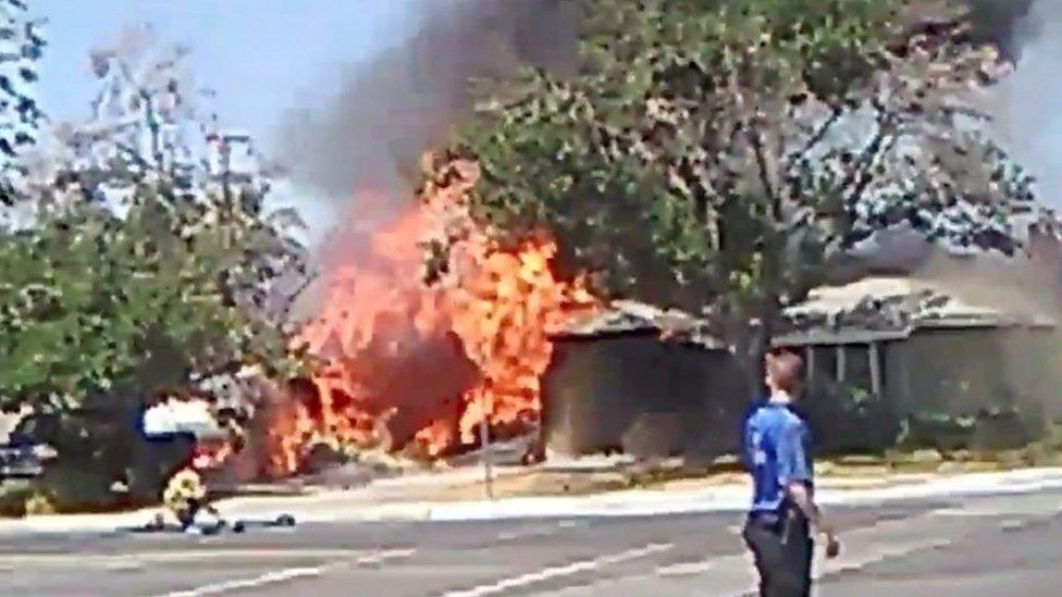
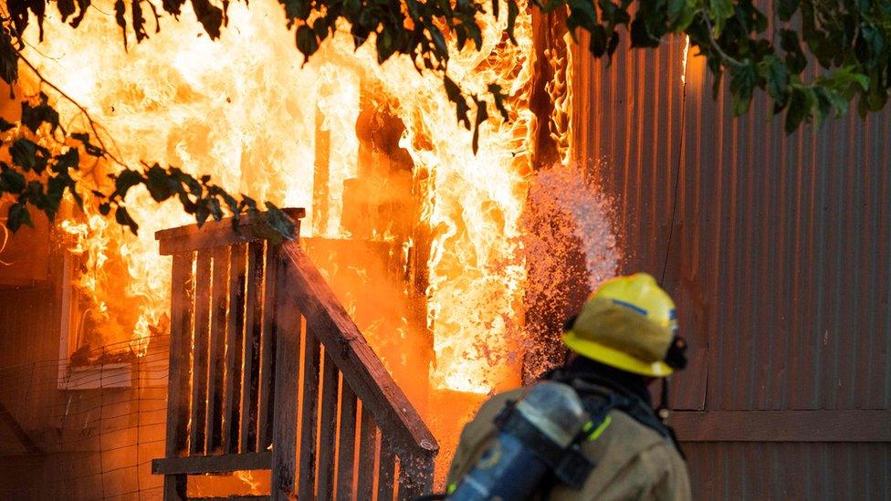
The earthquakes caused a number of minor injuries but no deaths. Mostly they left their mark on the landscape, damaging homes, water mains and roads.
The crack in the desert - captured in before and after pictures released by Planet Labs - opened close to the epicentre of the quake near the town of Ridgecrest.
According to a tweet from Will Marshall, external, Planet Labs chief executive, the patterns in the sand suggest water was sucked from the ground in a process called "dewatering".
Shocked newsreaders react live on air as the earthquake hits
On Monday, US President Donald Trump approved a request by California Governor Gavin Newsom to declare a state of emergency, unlocking extra funds.
Seismologists warned that further earthquakes were a possibility. Tremors were still being felt in the area for days afterwards.
The size of the earthquake has led to more discussion of California's preparedness for the "Big One" - a catastrophic earthquake that seismologists say is well overdue along the San Andreas Fault.

The second, 7.1 magnitude earthquake was the largest in 20 years
Governor Newsom told reporters it was "a wake-up call for the rest of the state and other parts of the nation".
California is it the midst of installing a state-wide early detection system due to be completed by 2021 which will not only stop trains but also open the doors of fire stations moments before an earthquake hits.
Experts said the recent quakes did not happen along the San Andreas Fault and are unlikely to affect it.

- Published6 July 2019
- Published11 December 2013
- Published5 July 2019