NASA satellites reveal East Antarctic glacier melt
- Published

It was thought East Antarctica had shown very little evidence of change in its glacier melt over the decades.
But new data from NASA satellites now suggests otherwise.
Glaciologist Catherine Walker has been detailing her work at the American Geophysical Union (AGU), which shows the first signs of significant melting in the East Antarctic region.
Satellites have shown that ice streams running into the ocean have thinned and sped up.

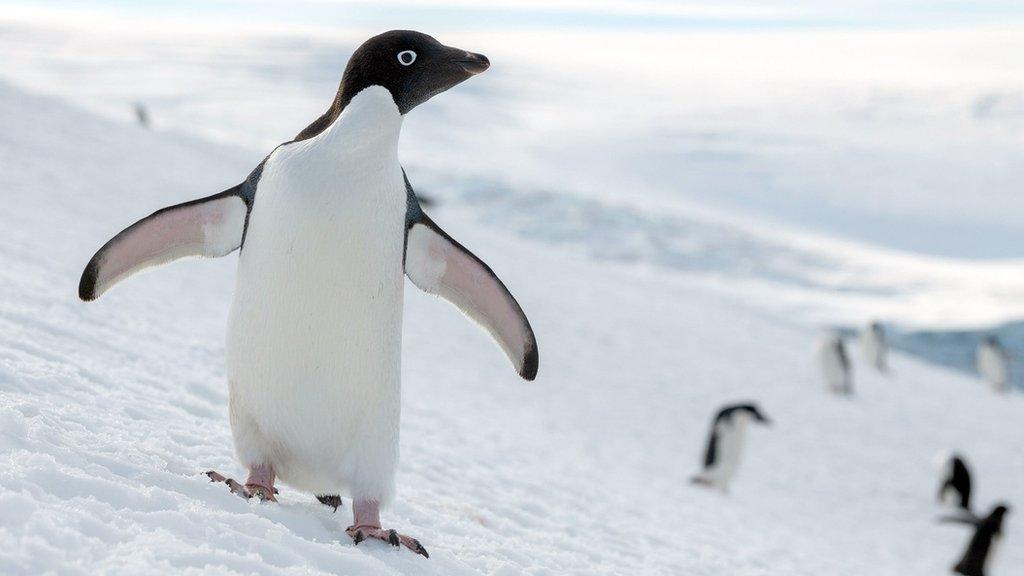
The glaciers in Vincennes Bay have shown the biggest change in behaviour since 2008
And if it continues to do so at such a rate then it could have a major effect on global sea levels.
Antarctica stores huge amounts of water in its ice sheets and glaciers. If it were all to melt, there is enough ice in this sector of the Continent to raise the height of the oceans by 28 metres.
"That's the water equivalent to four Greenland's of ice"
Why is it happening?
Scientists were aware that the Totten glacier (shown in the image above) was showing previous signs of melting, but everywhere else was considered to be unchanged.
This new data suggests that, like at Totten glacier, the most likely cause is warmer sea temperatures rising up from the deep and slowly melting the edge of the ice shelf, caused from shifting sea-ice patterns above, and wind direction.
The changes that are happening in East Antarctica are still relatively difficult to see, but the use of new technologies, high-res photos and computer tools now available seems to be revealing a lot more than we would otherwise know.
- Published27 February 2017
- Published12 February 2018
- Published18 July 2018