UK weather: What is a jet stream? How does it work and when will it stop raining?
- Published

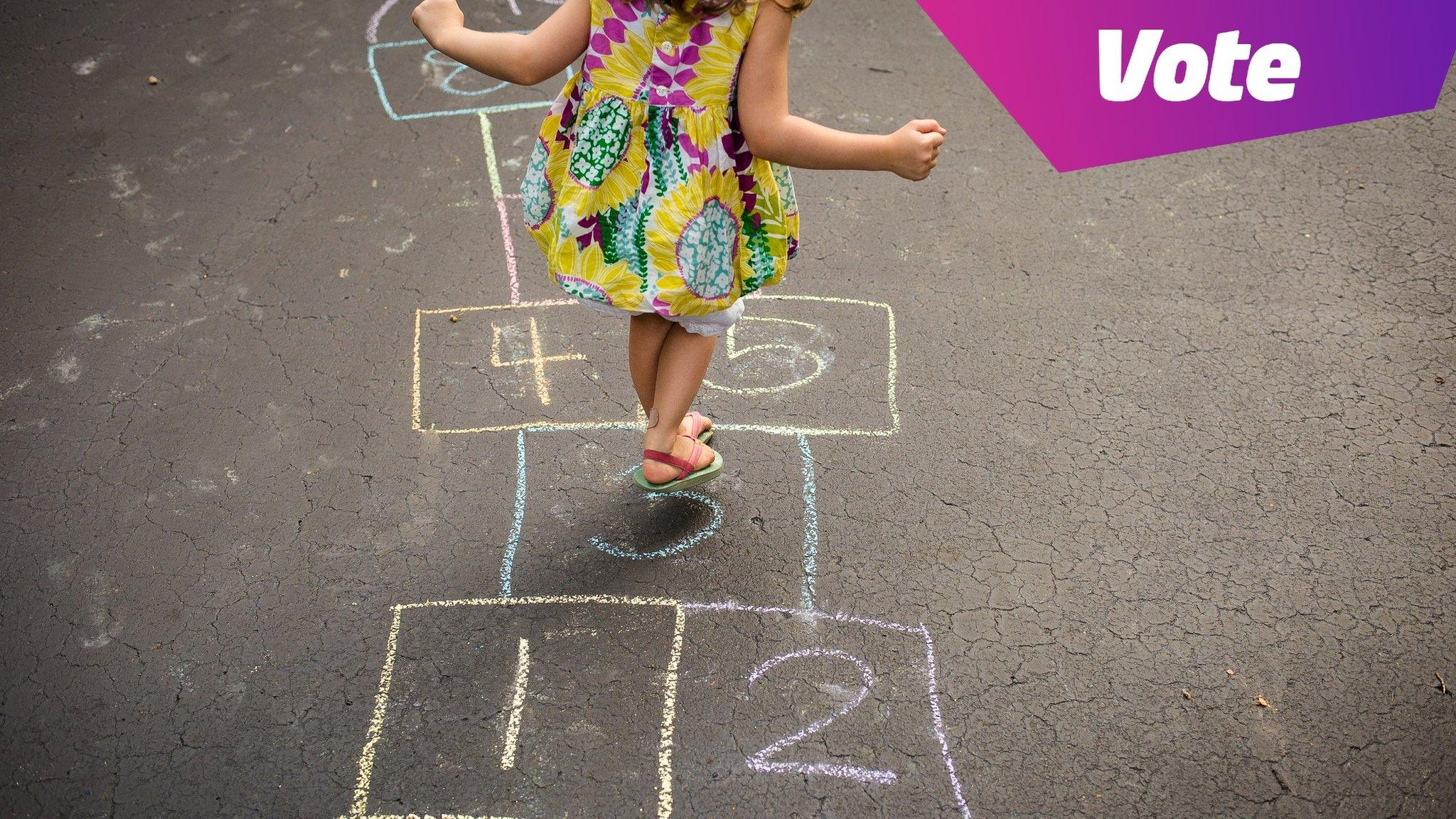
Will it be another rainy day of the UK summer holidays?
If you're trying to enjoy your summer holidays but rainy days are hindering your outdoor fun, we hear you.
July was the hottest month on record in parts of Europe, Asia, North Africa and some of the United States.
But at the same time, it has been one of the wettest months for the UK.
Why is this, and what does it mean?
And more importantly, when is it going to stop raining here?
In case you need help with ways to entertain yourself on rainy days - we've got that covered too. But for now, let's look at the bigger picture and find out what's been causing this soggy July.
What is a jet stream?
How does the jet stream work?
A jet stream is a fast-flowing current of air that travels around the planet. It occurs when warmer air from the south meets cooler air from the north.
The one that affects weather in the UK is called the Polar Front Jet.
It measures roughly 100 miles wide and is like a ribbon of wind flowing from west to east that reaches speeds of up to 200 miles per hour and sits about six miles above the Earth.
Why do they matter?
They play a big role in the amount of rainy (unsettled) weather we get, or if we are going to have warm and sunny (settled) weather.
When the jet stream is below the UK, it creates low pressure in the atmosphere, making wetter, windier and colder conditions.
But when the jet stream moves further north of the UK, we tend to get warmer weather, due to high pressure brought to us by tropical winds.
What's been happening?
Currently the jet stream is sitting just below the UK and appears to be, well, sort of parked there.
The tilt of the Earth and its position in relation to the Sun changes where the jet stream flows.
When warmer tropical air travels further north, or colder polar air travels south, the position and path of the jet stream can change.
If it changes a lot, that can "break" the jet stream, causing what weather experts call a blocking pattern.
This can cause either a long heatwave, which southern Europe has been experiencing, or an extended cold snap, much like we saw during the "Beast from the East" in 2018 and 2019.
What will happen in August?

A bit more rain is on the way but, watch out for some short sunny spells in the UK towards the end of August
We hate to be the bearer of annoying news, but it doesn't look like the unsettled weather is going anywhere soon.
The Met Office, the UK's national weather service, says "showery conditions are likely, along with the risk of longer spells of rain and stronger winds at times too" for the first couple of weeks in August.
Things begin to look a little drier towards the second half of the month, with "some shorter-lived periods of drier, more settled weather... likely".
But it warns longer dry and hot spells "appear to be unlikely".
So, the advice is to prepare for a mix of dry days alongside some rainy ones.
A classic "British" summer then.
- Published23 July 2023

- Published25 July 2023
- Published5 August 2021