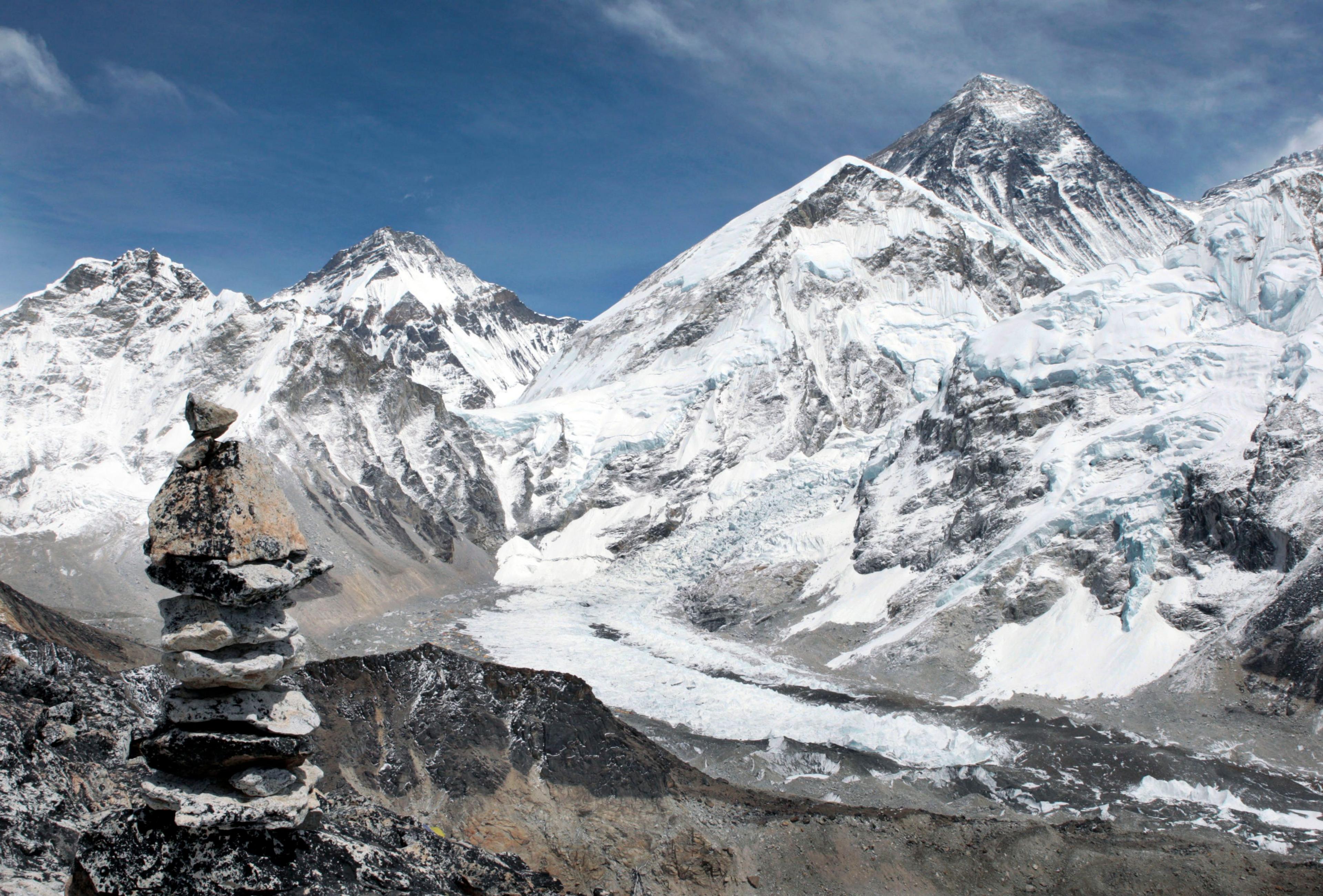
Is Mount Everest getting taller?

Mount Everest has been recorded at 8,849m high, but who knows how tall it will be in 20 years time...
- Published
The tallest mountain in the world, Mount Everest, is unlikely to be giving up that title any time soon.
According to new research, the huge mountain has effectively 'grown' over the last 89,000 years - by as much as 15-50m - and it's increasing every year,
Everest lies on the border of Nepal and Tibet in the Himalayan mountain range.
The study, carried out by scientists at University College London, reveals nearby rivers are pushing it upwards little by little.
More on mountains:
Record-breaking climbs up Mount Everest
- Published13 May 2024
The poo problem on Mount Everest
- Published9 February 2024
Meet the 10-year-old record-breaking mountain climber!
- Published27 October 2022
How does a river push a mountain upwards?
The Big Question: How do you measure a mountain?
The mountain lies amidst the harsh environment of the Himalayas and only experienced climbers with specialist guides and expensive equipment are able to reach the summit.
But around 75 kilometres from the base of the mountain, there is a river network carving through the land creating a deep gorge.
Tonnes of rock and soil is eroded away, causing pressure from beneath the Earth's mantle (a thick layer of mineral rock under the Earth's crust), pushing the mountain upwards.
As the huge amount of sediment has been moved away, the land has become lighter and the Earth's crust has pushed up slowly, leading to Everest's growth spurt - it's a process called isostatic rebound, write the study's authors.
Lead author of the study, Dr Xu Han, said: "The changing height of Mount Everest really highlights the dynamic nature of the Earth's surface.
"The interaction between the erosion of the Arun river and the upward pressure of the Earth's mantle gives Mount Everest a boost, pushing it up higher than it would otherwise be."
Co-author, PhD student Adam Smith, of UCL Earth Sciences, said: "Mount Everest is a remarkable mountain of myth and legend and it's still growing."
The team say they can monitor the mountain growing by about two millimetres a year using GPS (Global Positioning System) instruments, which use satellite imagery.
