One of Indonesia's most active volcanoes erupts

- Published
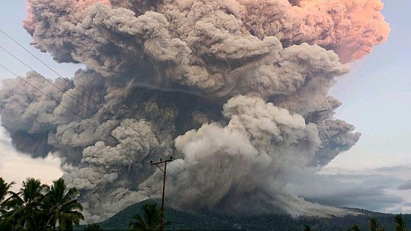
One of the Indonesia's most active volcanoes, Mount Lewotobi Laki-laki, began erupting on Tuesday sending large plumes of ash and smoke high into the skies.
The powerful eruption saw a huge volcanic ash clouds reaching nearly seven miles into the air.
People living in nearby villages were moved to safety and several flights to and from the popular neighbouring tourist island of Bali were also cancelled.
Officials in the country have raised regional alerts to their highest level and have asked residents and tourists to avoid the area close to the volcano.
More like this
- Published27 May
- Published1 May 2024
- Published16 April 2021
Mount Lewotobi Laki-laki - what's happened?

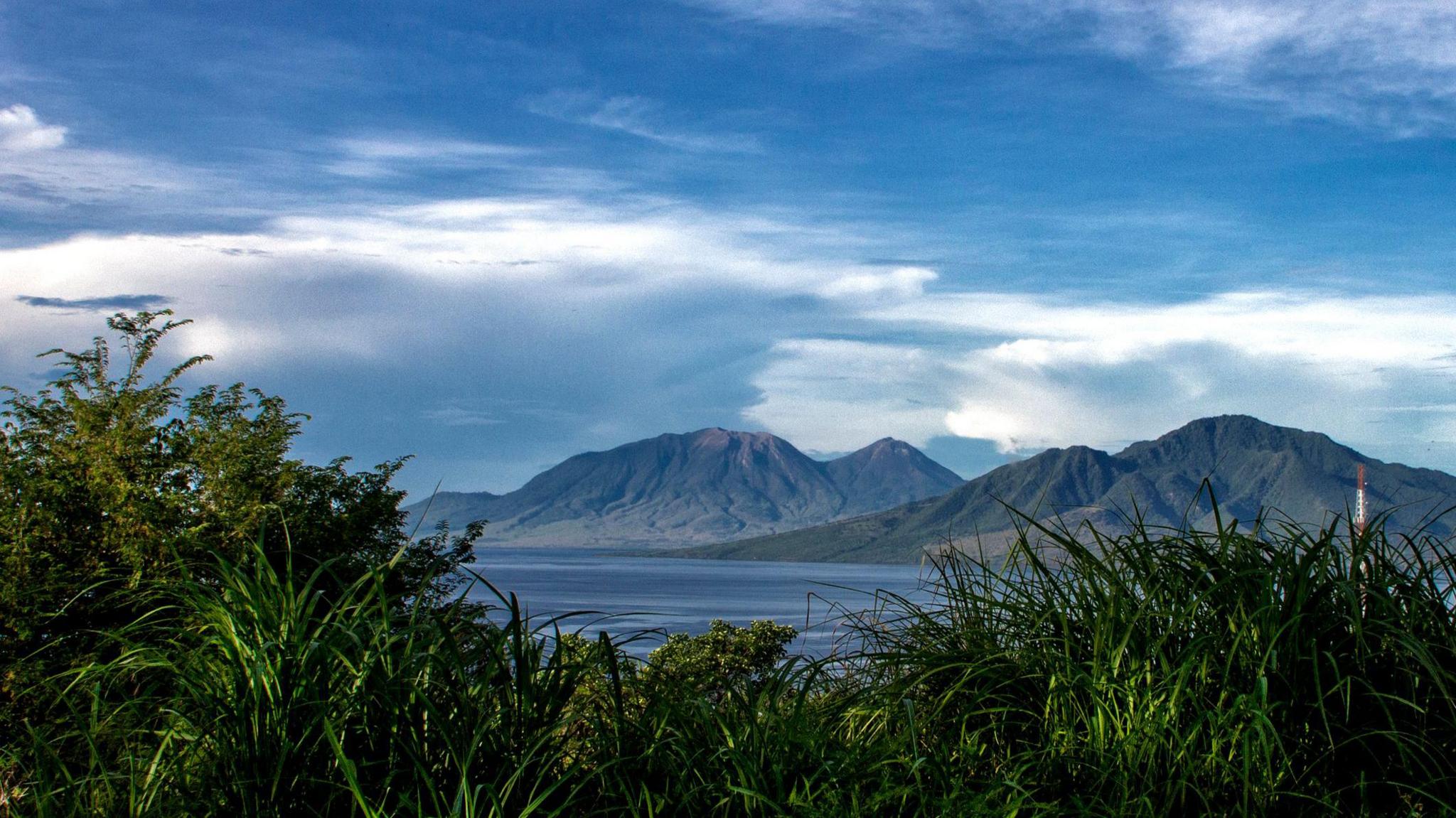
Mount Lewotobi Laki-laki is located on the Indonesian island of Flores
The south-east Asian country of Indonesia is made up of more than 17,000 islands.
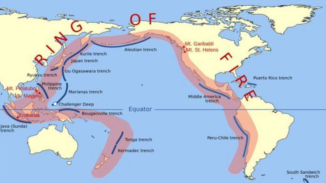
It experiences frequent earthquakes and volcanic activity due to its position on the Pacific Ring of Fire.
Mount Lewotobi Laki-laki is a 1,584m high volcano located on the tourist island of Flores.
The twin-peaked volcano has erupted multiple times in the past few months - most recently in May.
This latest eruption saw volcanic ash sent more than 6.8 miles (nearly 11km) into the sky.
Ash and dust covered roads and roofs of local neighbourhoods and people in some nearby villages were moved to safety.
Authorities have raised the alert level of the volcano to the most severe, warning of possible lava flows if heavy rain occurs.
Several flights to and from nearby Indonesian resort island of Bali were cancelled or delayed due to the huge ash cloud.
Officials added that tremors were still being detected on Wednesday, indicating ongoing volcanic activity.
Laki-Laki, which means "man" in Indonesian, is twinned with the calmer but taller 1,703m volcano named Perempuan, the Indonesian word for "woman".
What is the Pacific Ring of Fire?

The United Nations Office for Disaster Risk Reduction produced this map of the Ring of Fire stretching around the Pacific Ocean
The Ring of Fire refers to a string of volcanoes, earthquake sites and tectonic plates around the Pacific.
It spreads across around 25,000 miles from the southern tip of South America all the way to New Zealand.
Tectonic plates, huge slabs of the Earth's crust, are not fixed but are constantly move on top a of layer of solid and molten rock.
When these pieces move they can cause earthquakes or volcanoes, or both.
Roughly 90% of all earthquakes occur along this area and the ring is dotted with 75% of all active volcanoes on Earth - that's 452 individual active volcanoes.
