Storm Floris to bring strong wind and rain
Ben Rich from BBC Weather tells us what to expect from Storm Floris
- Published
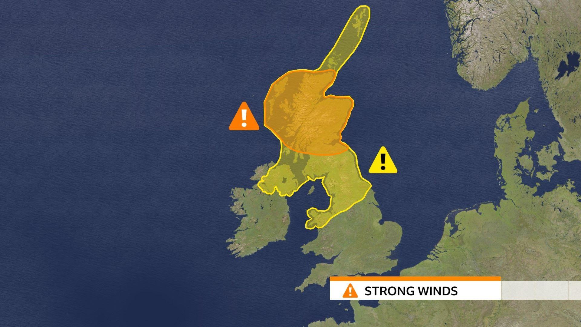
The UK's weather service, the Met Office, has upgraded the weather warning to amber for most of Scotland as Storm Floris approaches the UK, bringing with it strong winds and heavy rain.
The amber warning lasts from 10:00AM until 10:00PM on Monday. It means it is quite likely that bad weather can be dangerous and could cause travel delays on the roads and railways.
There is also a less severe yellow warning across northern England and Northern Ireland from 06:00AM on Monday morning through to midnight.
Storm Floris is the sixth named storm of the 2024/25 season and the first since January.
Why do storms have names?
- Published21 October 2024
How is Storm Éowyn affecting you?
- Published26 January
Storms are named by the Met Office when they are judged to have the potential to cause disruption or damage.
The storm naming season runs from early September to late August.
Storm Floris follows Storm Éowyn in January, which the Met Office said was "probably the strongest storm" to hit the UK in 10 years.
Although named storms are more frequent in late autumn and winter - but are "not uncommon" for summer - the Met Office has said Floris does have the potential to cause disruption, and some damage could also be possible, while heavy rain and flooding could be an additional hazard in places.
What could the impact of Storm Floris be?

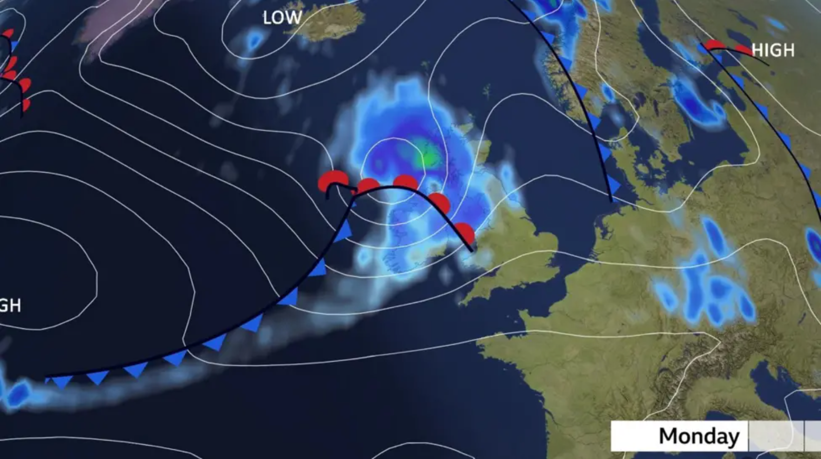
The light blue on this map shows where a lot of rain is expected to fall, with the north of England, Wales and Scotland in the frame
Heavy rain is also expected, and the Met Office has said there could be a high risk of transport being disrupted and there could be some damage to trees and buildings.
There could also be disruption to power, while heavy rain could lead to a risk of flooding in some areas.
At this time of year trees are in full leaf, so this could also make it more likely for branches to be broken off by the wind.
In winter the lack of leaves makes it easier for the wind to blow through branches, making trees less likely to topple.

The Met Office has stated that Storm Floris is expected to bring "disruptive winds" to much of Scotland during Monday.
The amber warning covers a wide area including cities such as Glasgow and Edinburgh but also the Highlands.
The area affected by the yellow warning includes Yorkshire and Humber, North Wales, North West England, North East England, Northern Ireland and all of Scotland including Orkney and the Shetland Islands.
As the storm tracks across the northern half of the UK, winds will first begin to ease in the west on late Monday but could remain very strong until early Tuesday in some areas.
