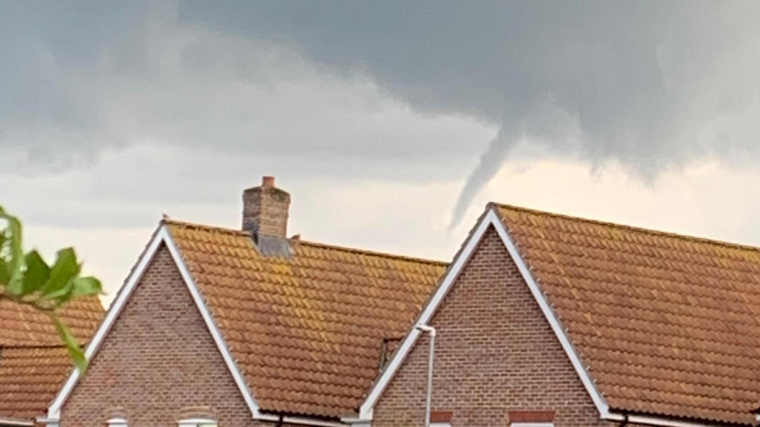
Funnel cloud images captured in East of England
- Image source, BBC Weather Watchers/SoLong
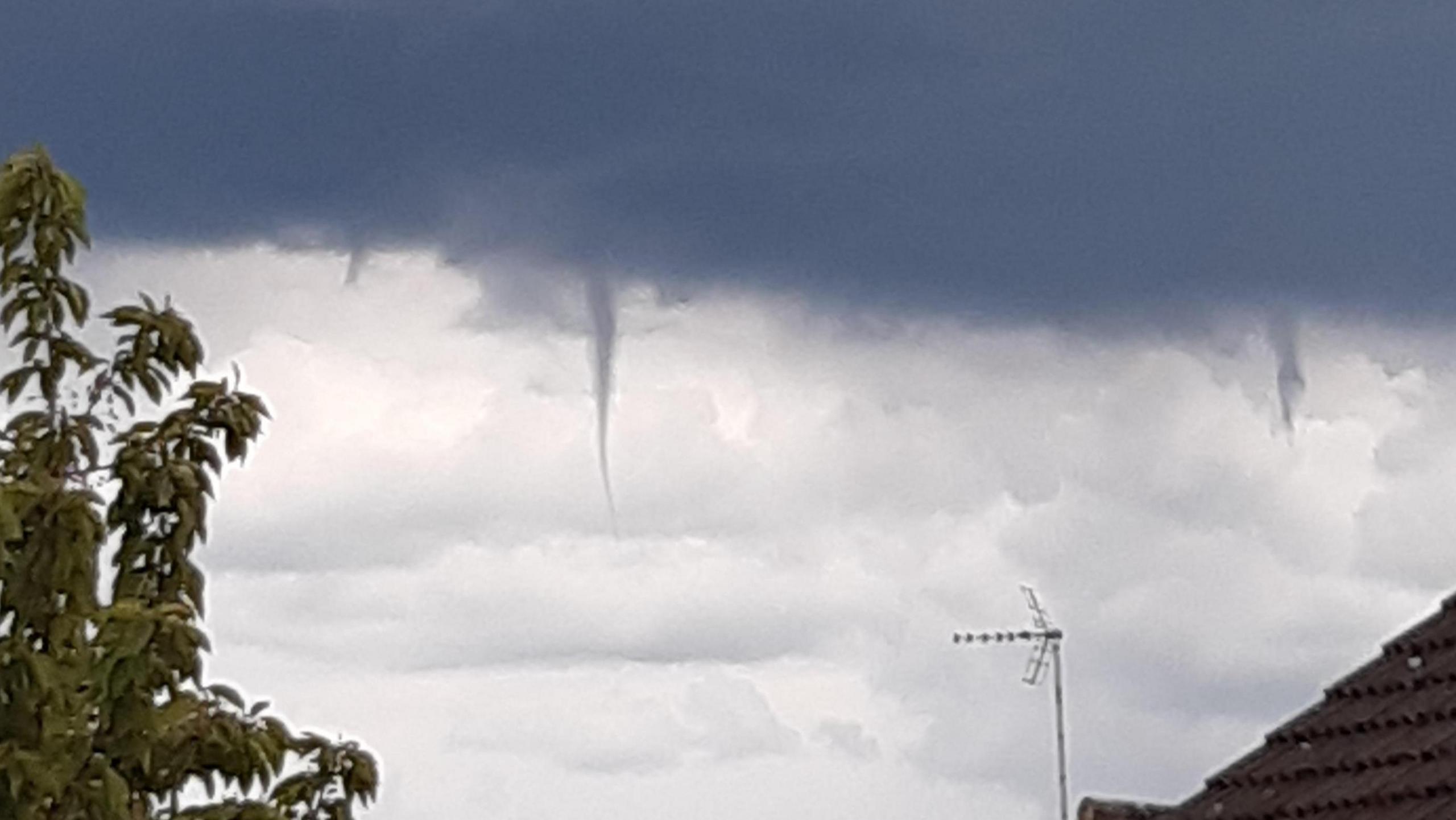
Image caption, Linslade, Bedfordshire
1 of 5
- Published
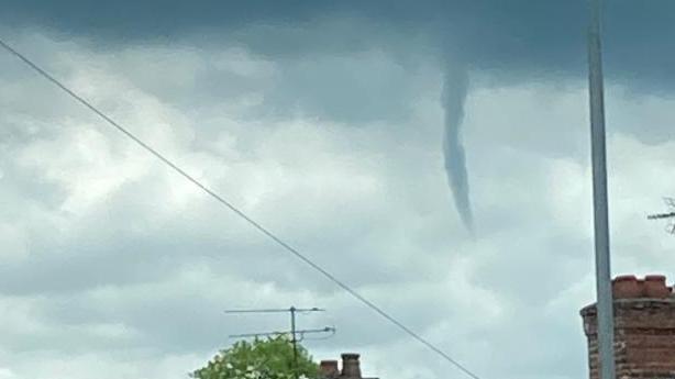
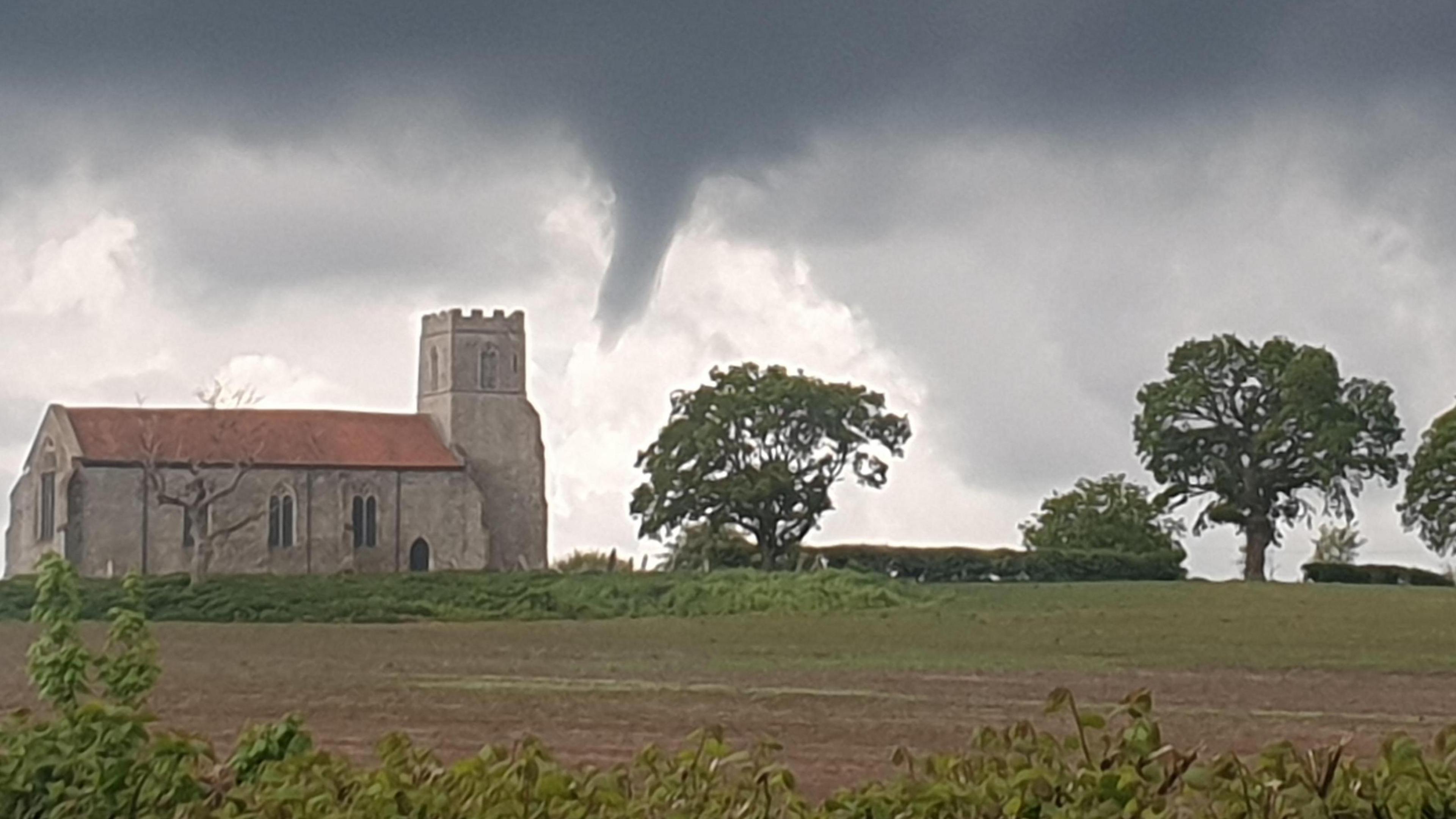
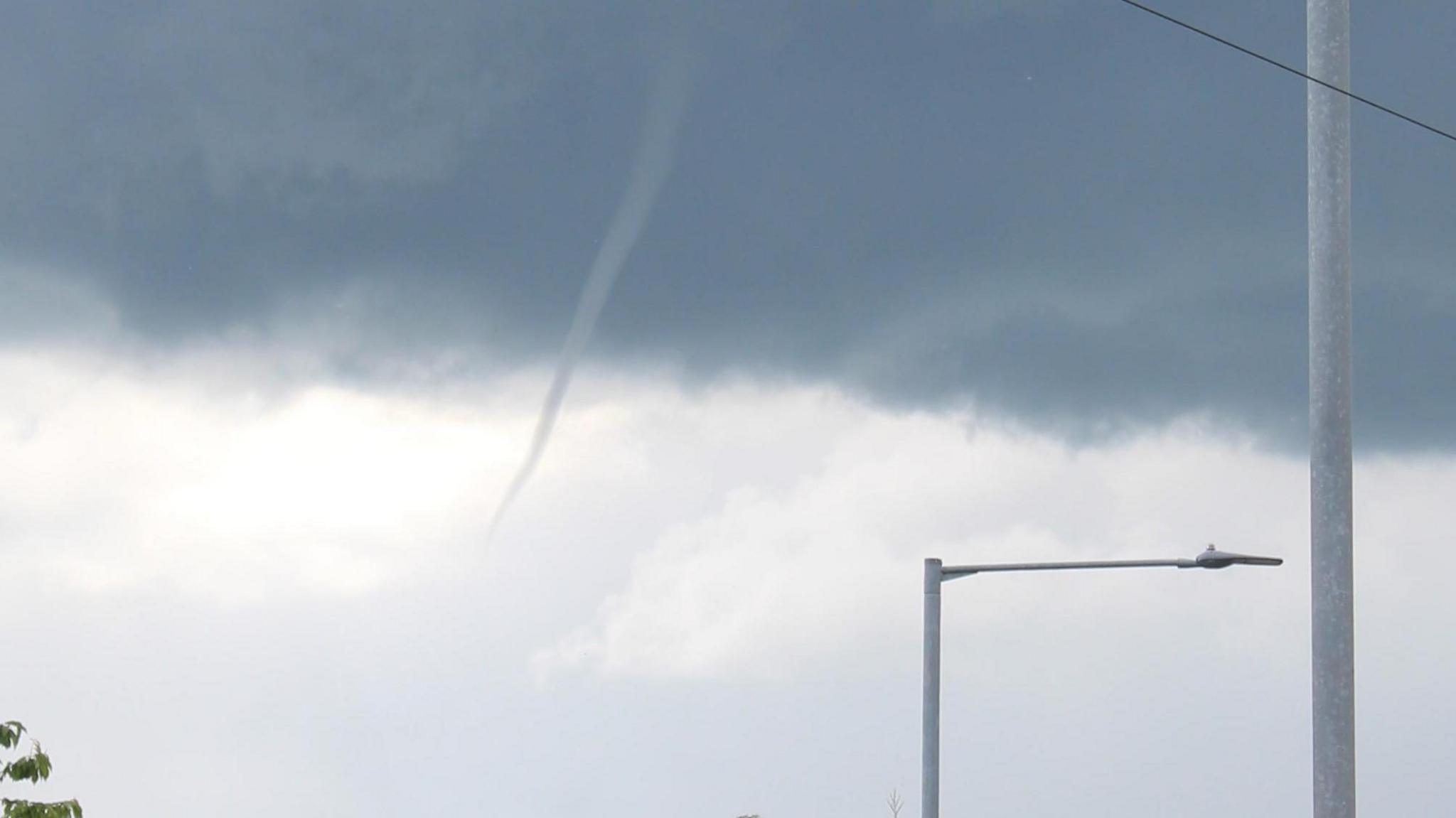
Spectacular pictures of funnel clouds have been captured by BBC Weather Watchers across the East of England.
Weatherquest forecaster Dan Holley said they formed when light and variable winds converged, causing spin in the lower levels of the atmosphere.
When a shower or storm moves through this area, a funnel can form higher up, where the wind is spinning the fastest.
Funnel clouds are called tornados when they touch the ground and water spouts when they touch water.
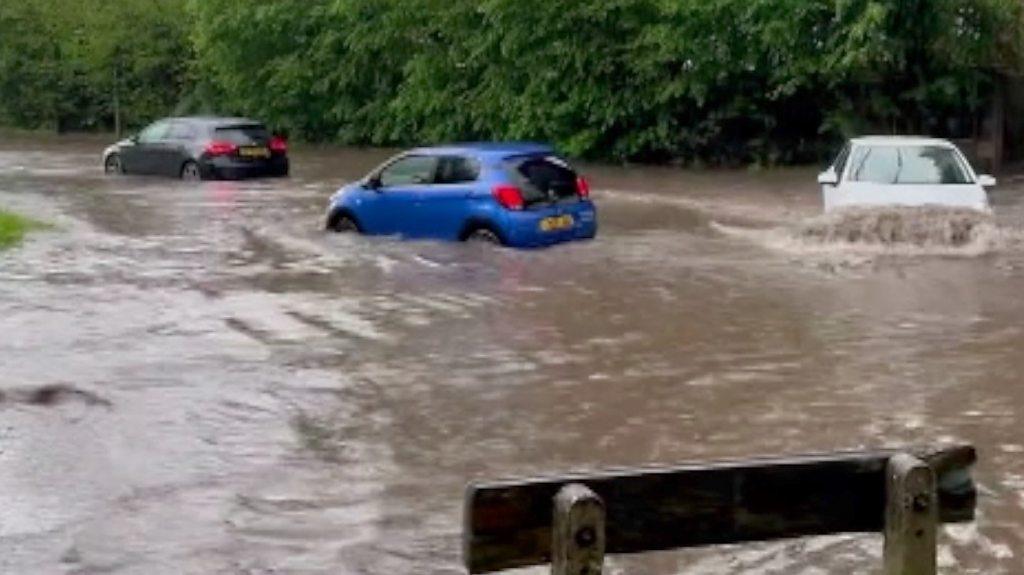
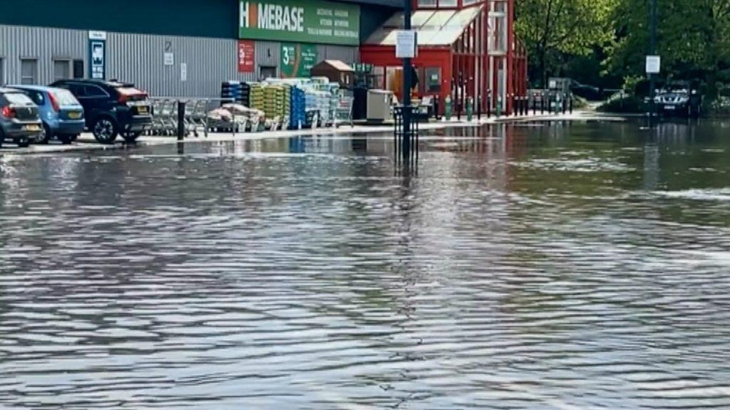
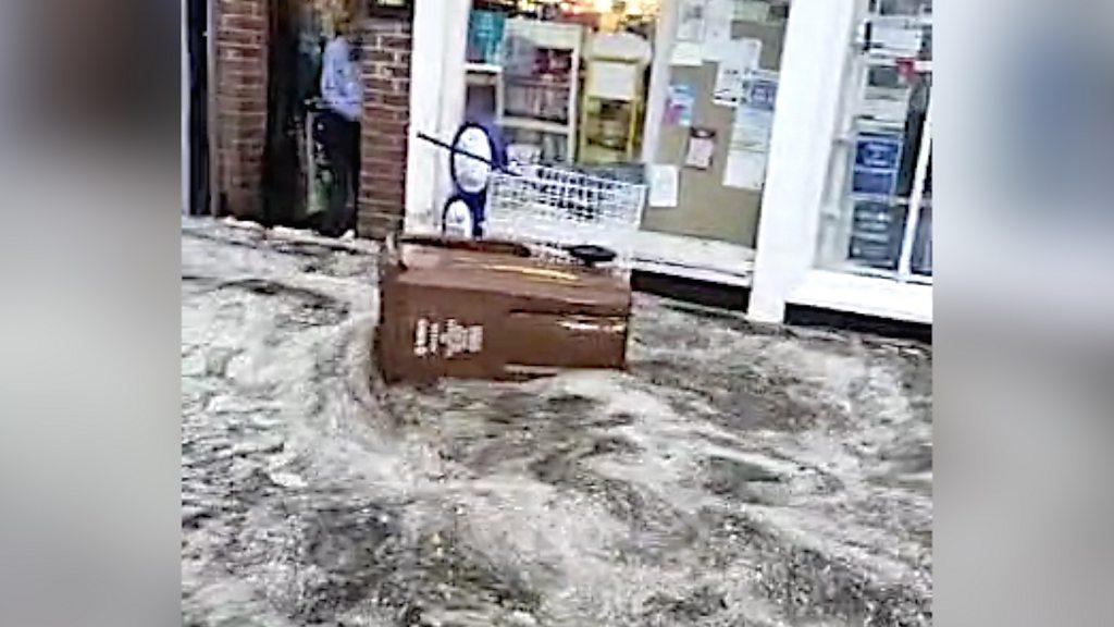
It follows several days of heavy rain across the East of England and a yellow weather warning of thunderstorms.
Find BBC News: East of England on Facebook, external, Instagram, external and Twitter, external. If you have a story for us, email eastofenglandnews@bbc.co.uk, external
This week's wild weather in the region
- Published11 May 2023
- Published10 May 2023
- Published10 May 2023
