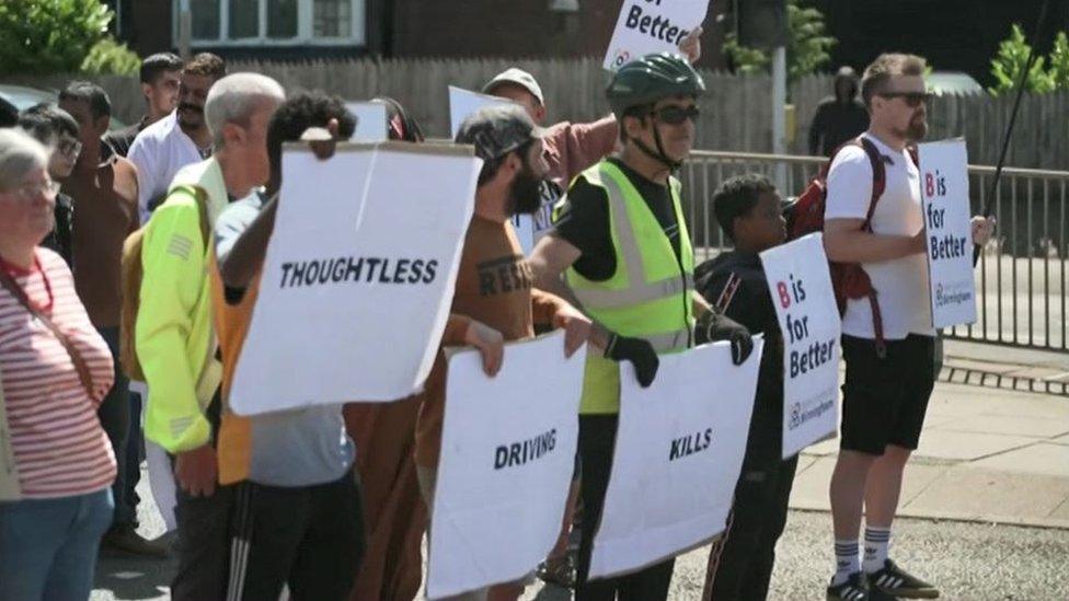
Birmingham 30mph: Why speed limits could be cut
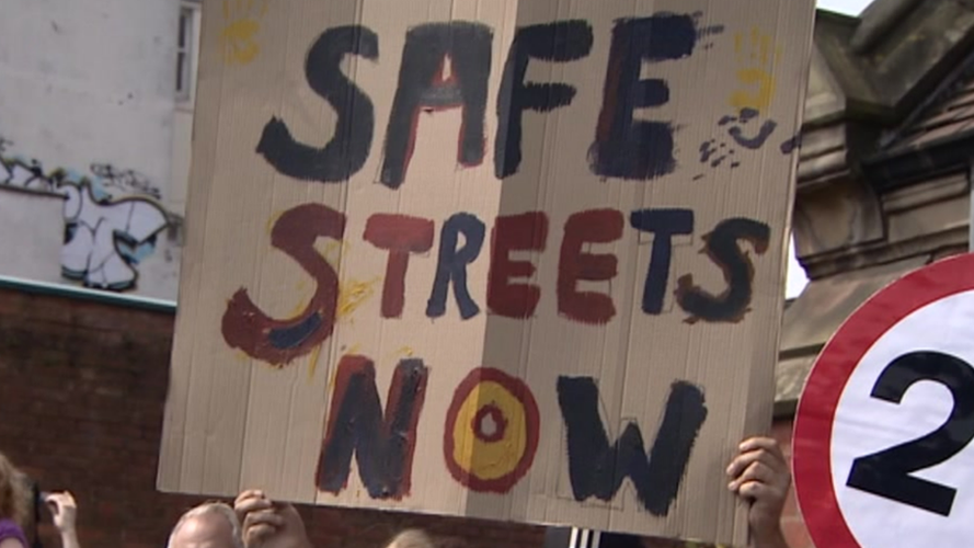
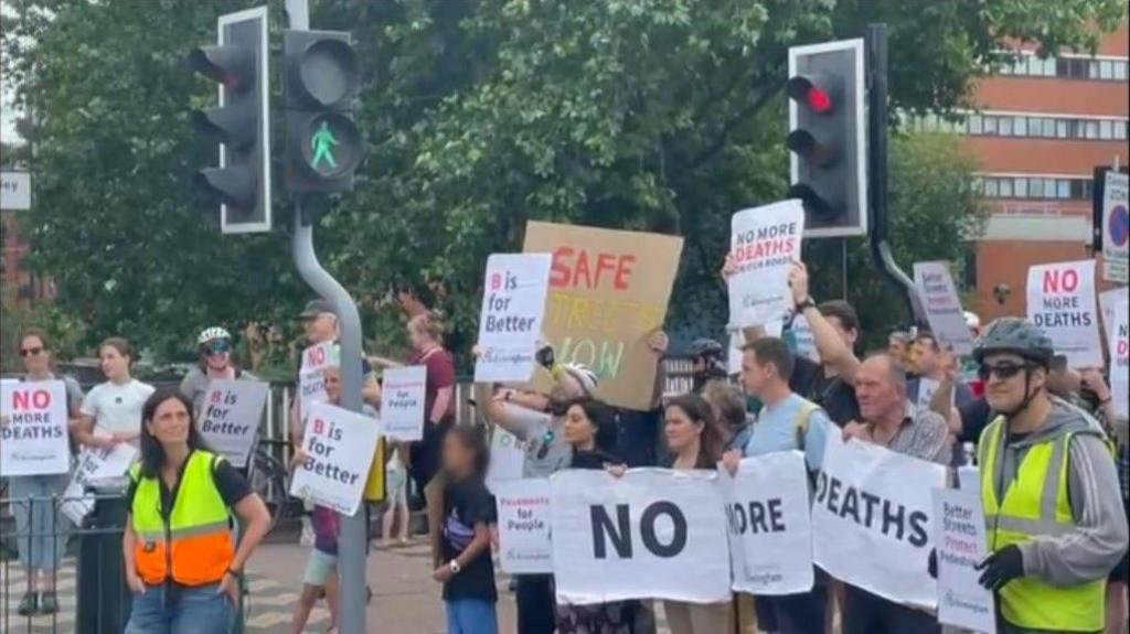
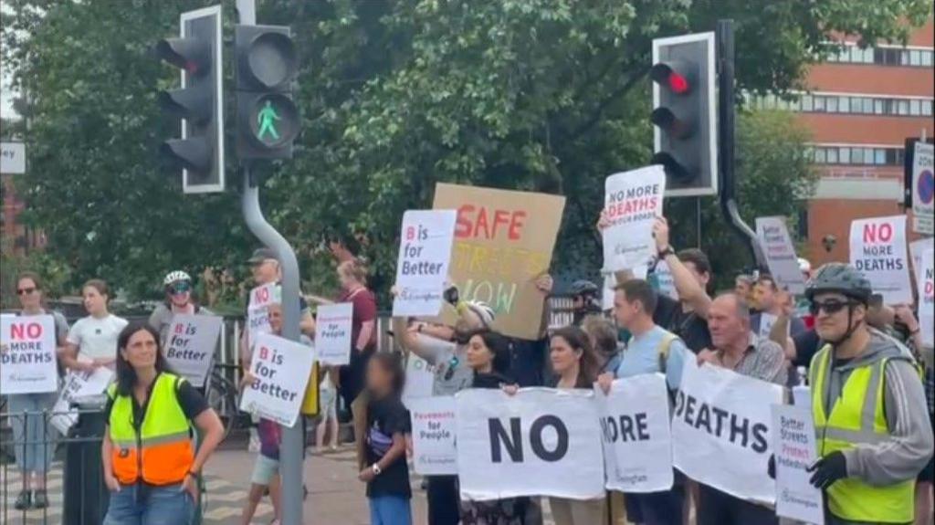
Protests have been held by people calling for safer streets in Birmingham
- Published
Plans to cut speed limits on most of a city's 40mph roads have been announced.
The proposed reduction on 27 Birmingham roads, including parts of the ring road, has been fast-tracked by the city council after a road safety emergency was declared in the summer.
Campaigners have said at least 23 people died on roads in the city between June 2023 and July this year. It is part of a wider plan across the West Midlands region to cut the number of people killed or seriously injured on the roads by 50% before 2030 and to zero by 2040.
The consultation was launched on Tuesday and residents will be a able to submit their views up until 10 December.
What is the reason behind the plans?
A road safety emergency was declared by the council’s cabinet member for transport, Majid Mahmood, in July in response to the number of serious and fatal collisions on the road network.
It came after campaign group Better Streets for Birmingham said at least 23 people had died on roads in the city between June 2023 and July this year.
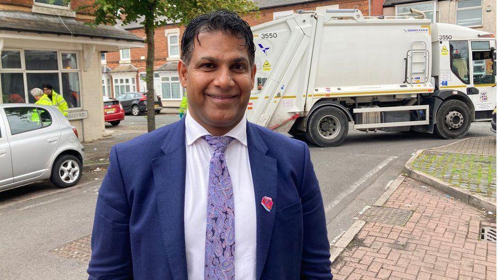
Councillor Majid Mahmood declared a road safety emergency in July
These include four-year-old Mayar Yahia, who was knocked down while she was walking home with her mother on Upper Highgate Street in April.
Mahmood said the council needed to “prioritise people” and ensure communities were safer.
“Key to tackling road harm is delivering a significant reduction in the speed and volume of vehicles on our roads, reinforced with strategic enforcement activities, particularly on higher volume roads,” he added.
What do people think?
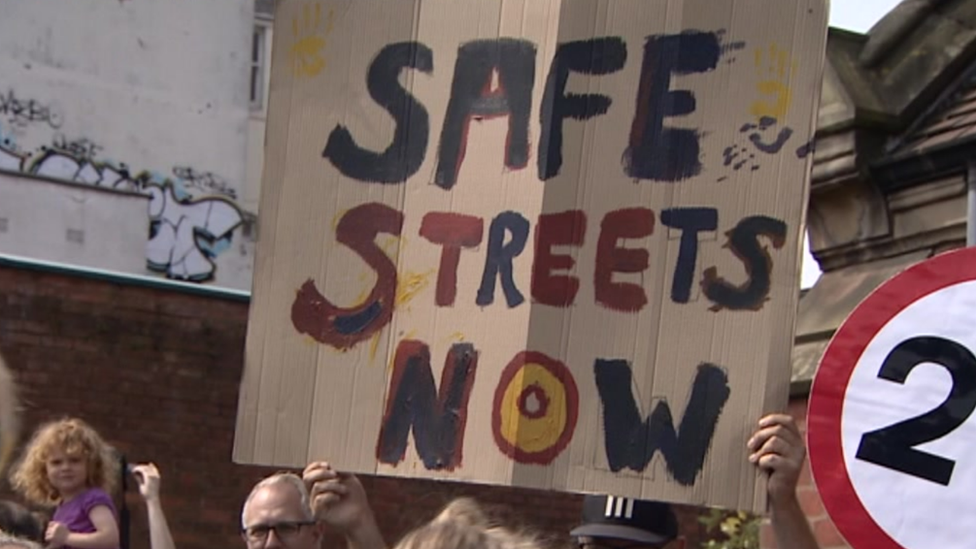
Better Streets for Birmingham and some of the victims' families have been calling for action to be taken to make the city's roads safer.
Matthew McDonald, the campaign group’s chairman, said he wanted to see leadership and “tangible change to our streets”.
The city council consulted on the initial review of the 40mph speed limits last year.
According to the authority, 1,674 people responded with 949 opposed (56.7%), 635 in favour (37.9%) and 90 neutral.
But the council decided to proceed with this year’s consultation and said about a quarter of those who opposed the plans were concerned about inadequate levels of enforcement.
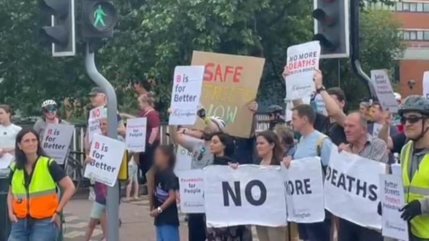
Better Streets for Birmingham has called for "tangible change" to the city's roads
How would it be paid for and when would it come into force?
The council has not revealed how much it would cost but said the scheme would be funded by surplus income from the city’s Clean Air Zone (CAZ) charges, which has been ringfenced for transport projects.
It said the changes to the roads, which mostly involved changing and removing the speed limit signs, would happen in early 2025 should the traffic orders be approved.
The Quinton Expressway and A38 (M) Aston Expressway were exempt from the scheme as these were designed as urban motorways.
How residents can take part in the consultation
Mahmood encouraged “as many people as possible” to submit their thoughts to the council and take part in this “important” consultation.
The consultation runs until 10 December and people can take part online via the dedicated website, external.
Which roads would be affected?
A34 Walsall Road, A34 Perry Barr Expressway, A34 Birchfield Road, A34 High Street from Old Walsall Road to Old Park Walk (near Bartons Arms)
A4041 Queslett Road from Hamble Road to The Crescent
A452 Chester Road North from the roundabout junction with A4041 Queslett Road East (at the city boundary) to Greenway Drive
A5127 Lichfield Road from south of Bishops Way to the roundabout at Watford Gap Road (city boundary)
Webster Way/Thimble End Road from Walmley Road to Walmley Ash Road
Ox Leys Road from Springfield Road to Fox Hollies Road
A38/B4148 Tyburn Road from Salford Circus to Chester Road roundabout
B4148 Eachelhurst Road from south of the railway bridge to the roundabout at A452 Chester Road
A38 Kingsbury Road from Minworth island (A4097 Kingsbury Road) to the junction with the B4148 Tyburn Road.
A4097 Kingsbury Road from Wiggins Hill Road to the city boundary
A452 Chester Road from the new Aldi on A452 Chester Road to the Castle Bromwich interchange near Newport Road
B4147 Newport Road from the Castle Bromwich interchange to the roundabout at Coleshill Road
A47 Heartlands Parkway/Fort Parkway from Spitfire island to Saltley viaduct roundabout
A47 Nechells Parkway from the roundabout at B4132 Goodrick Way the A4540 ring road (heading into the city)
A4540 ring road: Clockwise (three sections) from Dartmouth Circus to Spring Hill and anti-clockwise (three sections) from Spring Hill to Dartmouth Circus
A45 Small Heath Highway from the junction with Bolton Road to Heybarnes Circus
A45 Coventry Road/A45 New Coventry Road from Heybarnes Circus to the city boundary at Hatchford Brook
Monmouth Drive from Jevons Road to Somerville Road
Weeford Road from the mini roundabout at Harvest Fields Way to the A453, Tamworth Road
A441 Redditch Road from Burford Park Road to the city boundary at Longbridge Lane
A38 Bristol Road South: eastbound – a section either side of the junction with Park Way and westbound – a section either side of the junction with Park Way and extending to the city boundary at Leach Green Lane
B4123 Wolverhampton Road South, B4121 West Boulevard, B4121 Barnes Hill, B4121 Shenley Lane from the junction with Hagley Road West to the junction with Black Haynes Road
A456 Hagley Road West from Perry Hill Lane to Bearwood Road/Lordswood Road junction
A41 Hockley flyover (Soho Hill and Hockley Hill) from Key Hill to Soho Hill
Lindridge Road from Rectory Road to Withy Hill Road
Redhill Road from Redditch Road to the city boundary
Walmley Ash Lane and Cottage Lane from the junction with Walmley Ash Road to the junction with Hurst Green Road
Get in touch
Tell us which stories we should cover in Birmingham and the Black Country
Follow BBC Birmingham on BBC Sounds, Facebook, external, X, external and Instagram, external.
Related topics
- Published19 November 2024
- Published27 July 2024
- Published3 August 2023
- Published11 October 2023
