Calmer day ahead, but travel disruption to continuepublished at 22:24 BST 4 August
 Image source, olly79/BBC Weather Watchers
Portmahomack, northern Scotland
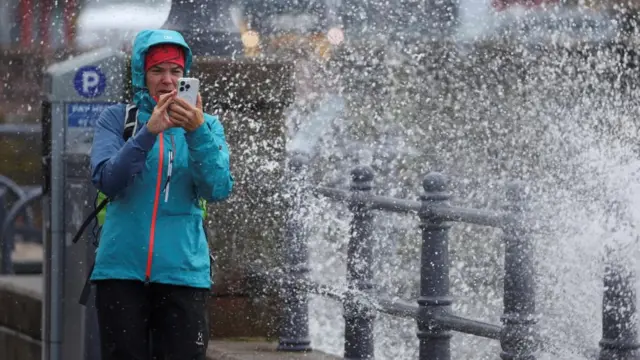
Power cuts, travel disruption - even cows on the loose. Today we've seen how Storm Floris has hit the UK.
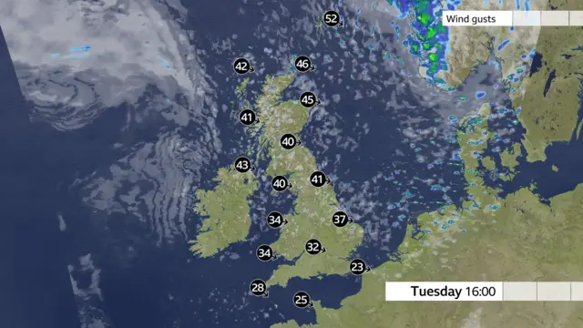
Scotland has taken much of the impact - a gust of 82mph (132km/h) was recorded at Wick, Caithness, before 19:00 - the strongest in the UK today, away from mountain sites.
Scottish and Southern Electricity Networks has described it as "the most damaging summer storm in recent memory". Earlier this evening, it said more than 43,000 homes in Scotland were without power.
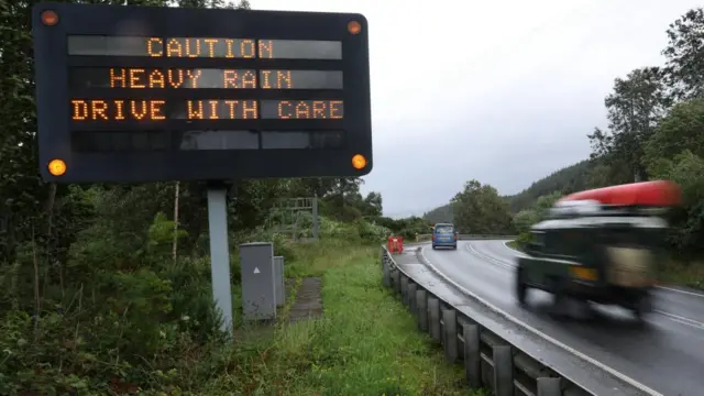
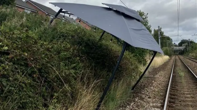
There’s been major disruption on the railway - some of which will continue into tomorrow morning, according to ScotRail.
There have also been a number of road closures due to fallen trees, as well as flight and ferry cancellations.
But the worst is now over, as winds have now peaked in almost all parts of the UK. The Northern Isles, though, are set to stay very windy overnight.
The amber wind warning for much of Scotland ends at 23:00, while a yellow warning for Northern Ireland, northern England and Wales, and other parts of Scotland expires at 23:59.
We're bringing our live coverage to a close now. You can read our main story on Storm Floris here.