Low pressure + jet stream = lots of snowpublished at 15:31
If you're wondering why this storm was so "snowy", Mashable attempts to explain, external...
First and foremost, there was an upper level low pressure area that dug a deep dip, or trough, in the jet stream across the southeast. The circulation around this low and the jet stream winds associated with it produced an area of strong lift in the atmosphere out ahead of it.
This helped trigger a surface low pressure area, which strengthened rapidly on Friday night and Saturday morning as it moved up the coast to a position east of the Delaware shoreline by midday Saturday. The upper low aligned itself on top of the low at the surface, creating a vertically stacked, whirling vortex off the East Coast that sat and spun like a top throughout the day on Saturday.
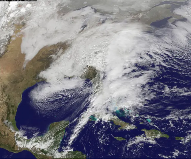 Image source, NOAA