Sentinel to measure ocean height
- Published

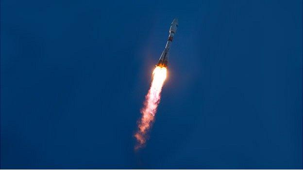
Sentinel-6a is likely to go into orbit in 2020 on an American rocket
The sixth Sentinel in Europe's ambitious new multi-billion-euro Earth-observation project has been contracted from industry.
Sentinel-6a will measure changes in the height of the oceans - a key indicator for understanding weather and climate.
The European Space Agency (Esa) signed the 177m-euro (£127m) deal with Airbus Defence and Space at a remote-sensing symposium in Berlin, Germany.
Sentinel-6a should be ready for launch in 2020.
It will ensure the continuity of a data-set that stretches back to 1992.
This shows global sea levels have been rising by just over 3mm per year.
Part of that is down to continuing warming of the oceans; part of it is the result of water run-off from melting land ice.
The time series began with a US-French mission called Topex/Poseidon, and was then subsequently renamed Jason in later iterations.
The newest version, Jason-3, is due to launch in July. Sentinel-6a will now grasp the baton in five years' time.
European nations have so far committed 7.5bn euros to the Sentinel project, external and the programme that exploits its data, Copernicus, external.
The vision is for a fleet of spacecraft that can monitor the land, the oceans and the atmosphere.
And the expectation is that the initiative is unending – in the sense that every Sentinel satellite will be replaced at the demise of its mission.
Consequently, there will be a Sentinel-6b in due course, although the funding for this follow-on is not yet fully in place.
Sentinel-6a remains a partnership with the US. Indeed, America will again be providing instrumentation and the rocket to put the satellite in orbit.

Sentinel-6 ensures continuity of data into the 2020s
The 2020 satellite will return a topographic map of 95% of the Earth's ice-free oceans every 10 days.
Knowing ocean surface elevation has many and varied applications, both short-term and long-term.
Just as surface air pressure reveals what the atmosphere is doing up above, so ocean height will betray details about the behaviour of water down below.
The data gives clues to temperature and salinity. When combined with gravity information, it will also indicate current direction and speed.
The oceans store vast amounts of heat from the Sun, and how they move that energy around the globe and interact with the atmosphere are what drive key elements of our weather and the climate system.
The design of Sentinel-6a borrows much from Esa's current Cryosat spacecraft – another altimeter mission, but one dedicated to measuring the height of ice and water surfaces in the polar regions.
"The technology on Cryosat is extremely advanced and making use of this industrial heritage gives us a more efficient price for the 6a and the 6b units," Esa's Josef Aschbacher told BBC News.
Like Cryosat, Sentinel-6 will be assembled in Friedrichshafen, Germany.
"For the company, this contract is great news because it means now that we're contributing to all the Sentinel satellites that are related to Copernicus," said Mike Menking from Airbus.
The European-funded Sentinel series

Sentinel-1a was launched last year. The others will follow in the coming years
The Sentinels represent the world's most ambitious Earth observation project
Sentinel-1: Radar satellite that can see the Earth's surface in all weathers
Sentinel-2: Colour camera dedicated to study principally land changes
Sentinel-3: Multi-wavelength detectors tuned to observe ocean behaviour
Sentinel-4: High-orbiting sensor to measure atmospheric gases
Sentinel-5: Low-orbiting atmospheric sensor to help monitor air quality
Sentinel-6: Future version of the long-running Jason sea-surface height series
What is the Copernicus programme?
EU project that is being procured with European Space Agency help
Pulls together all Earth-monitoring data, from space and the ground
Will use a range of spacecraft - some already up there, others yet to fly
Expected to be invaluable to scientists studying climate change
Important for disaster response - earthquakes, floods, fires etc
Data will also help design and enforce EU policies: fishing quotas etc
- Published3 April 2014
- Published2 April 2014
