Antarctic revealed in sharper 3D view
- Published


Europe's dedicated polar-monitoring satellite has produced its sharpest view yet of the shape of Antarctica.
The Cryosat mission has been measuring height changes on the White Continent since 2010, external using a radar altimeter instrument.
And now its entire data archive has been reprocessed in a way that gives a tenfold improvement in resolution.
Whereas Cryosat used to see features at the scale of 1km to 2km, it now sees them at 500m or less.
The new "swath" processing mode, as it's called, will bring significant advantages in the study of those regions of Antarctica that traditionally have been especially hard for radars to sense.
These include the craggy terrains where glaciers will be numerous but relatively small.
"So, the benefit in the Antarctic Peninsula for example promises to be massive," says Dr Noel Gourmelen from Edinburgh University and the UK Centre for Polar Observation and Modelling (CPOM), external.
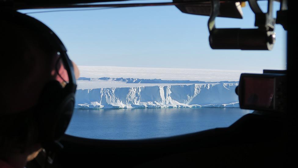
"The peninsula is the region furthest away from the pole; it's much warmer there and it's where we've seen the acceleration of glaciers and the collapse of ice shelves.
"We can basically now measure all of the peninsula around the coast which is where the biggest changes have been taking place," he told BBC News.
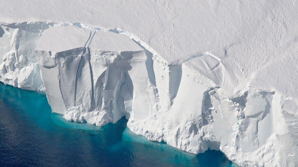
Another beneficiary will be the study of ice shelves, the floating protrusions of big glaciers that terminate in the ocean.
Some of these platforms are very large and help stabilise the feeding ice behind, especially where they ground on the seafloor or get pinned at their sides on rocks.
Cryosat's new hi-res swath mode will make it easier to see which parts of a shelf might be melting fastest, enabling a more robust determination of how important that really is for the integrity of the whole platform.
Dr Gourmelen and colleagues presented the first full swath digital elevation model (DEM) of Antarctica here in Milan at the Living Planet Symposium, external, Europe's biggest Earth observation conference.

Artwork: Cryosat was launched in 2010 and is well beyond its design life
As well as reprocessing Cryosat's nine-year archive, external, they've said the European Space Agency mission will also now release swath mode data as a matter of course.
Previously, it's only been available in select places in Antarctica and Greenland.
Radar altimeters work by firing a microwave pulse at the ground and timing how long the signal takes to bounce back to the satellite. Differences in the return time correspond to variations in the height of the terrain below.
Standard data processing concentrates on the nearest radar echo return point and ignores much of the energy in the rest of the signal.
Swath processing, on the other hand, unpacks it all, revealing a line of additional elevation points.
This makes it possible to see more of the shape of a depression or valley, not simply the rim or ridge that surrounds it. And because the "brush" of detection is much broader, it also takes less time to "paint" the map of an ice sheet.
"We're essentially now making images of height," said Dr Gourmelen.
Cryosat is an ageing mission, well beyond its design life. However, Esa believes the spacecraft is healthy enough to continue to operate well into the 2020s.
Scientists would be loath to lose the capability which has had a major impact on the understanding of ice loss in Antarctica and Greenland, and the contribution this has made to rising sea-levels.
Researchers are pinning their hopes on a new mission dubbed Cristal - the Copernicus Polar Ice and Snow Topographic Mission - that could gather the same type of data, and more.
Europe's space ministers will consider the concept at their big gathering in Seville in November, external.
Jonathan.Amos-INTERNET@bbc.co.uk, external and follow me on Twitter: @BBCAmos, external
- Published13 June 2018
- Published9 April 2018
- Published5 April 2019