Iceye satellites return super-sharp radar images
- Published

A container terminal near Port Harcourt, Nigeria: detail under a metre across is visible to the radar
Finnish space start-up Iceye has once again given an impressive demonstration of its novel technology's capabilities.
The company's radar satellites are now returning sub-1m resolution images of the Earth's surface.
This level of performance is expected from traditional spacecraft that weigh a tonne or more and cost in excess of one hundred million euros.
But Iceye's breakthrough satellites are the size of a suitcase and cost only a couple of million to build.
The Helsinki-based outfit is leading a group of "New Space" companies that aim to fly constellations of such radar imagers.
This is something that would have seemed technically very challenging and prohibitively expensive just a few years ago.

A comparison of the same scene: Sentinel-2 can discern features larger than 10m across
Today, Iceye has four satellites in orbit with plans for 14 more over the next two years.
"We've always pushed back on what's been considered impossible," said co-founder and CEO Rafal Modrzewski.
"They told us we couldn't make a small radar satellite. When we did it, they told us 'oh, but it's only 10m resolution'. Then we did 3m resolution, and they said 'ok, but that will be your limit'.
"And here we are again, showing them that we can do what was previously the exclusive domain of the exquisite large satellites," he told BBC News.
Radar images can be difficult to interpret for the casual observer, but they're a powerful tool with which to monitor and map the Earth.
Radar's great advantage is that it will always sense the ground, even in darkness or in cloudy conditions.
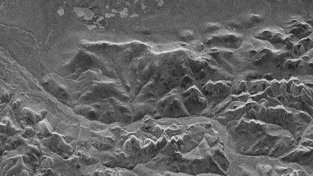
The Iceye sample picture at the top of this page shows Port Harcourt in Nigeria.
It's made up of pixels that capture any features that are larger than just under 100cm across.
The ships' deck infrastructure and individual cargo containers on the quayside are easy to discern - so too are vehicles on nearby roads. The satellite that acquired this picture was passing overhead at an altitude of about 500km.
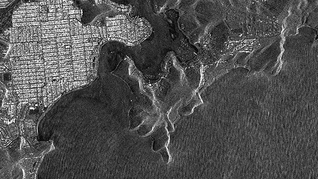
For comparison, an optical image (broadly what we see with our eyes) from the EU's Sentinel-2 Earth observation satellite is shown. This spacecraft has a best resolution of 10m.

With the radar, it's possible to see the individual vehicles passing along a road next to the port
Iceye's processing team uses a "spotlight" mode on a radar spacecraft that enables it to dwell on a specific target and collect additional information. This extra detail can then be incorporated into a higher-resolution image.
A full sub-1m scene is 5km by 5km. This compares with the normal observing mode for Iceye, which delivers 3m-resolution scenes that are 40km across.
Having very detailed, sharp images is obviously important for identification purposes, but what will set the coming constellations apart will be the timeliness of their data.
When Iceye has 18 spacecraft in orbit, it will be able to re-image the same spot on the Earth's surface every three to four hours. Every eight hours, one of the satellites will get a chance to view the target with exactly the same geometry, or look angle.
Radar data has all kinds of applications, from rapid mapping in the aftermath of an earthquake to providing financial intelligence on economic activities - such as the comings and goings at big ports.
The European Space Agency recently agreed to continue working with Iceye, external to help calibrate and validate the young company's data, and to make it available to scientists who think it could have value for them.
Iceye heads a pack of New Space start-ups developing small satellite radar constellations.
Capella Space of San Francisco, Trident Space of Fairfax, US, and Synspective of Tokyo are all working on systems to try to take a share of this market.
The British companies Surrey Satellite Technology Ltd and Oxford Space Systems also have an innovative design for a small, low-cost radar platform called CarbSar.

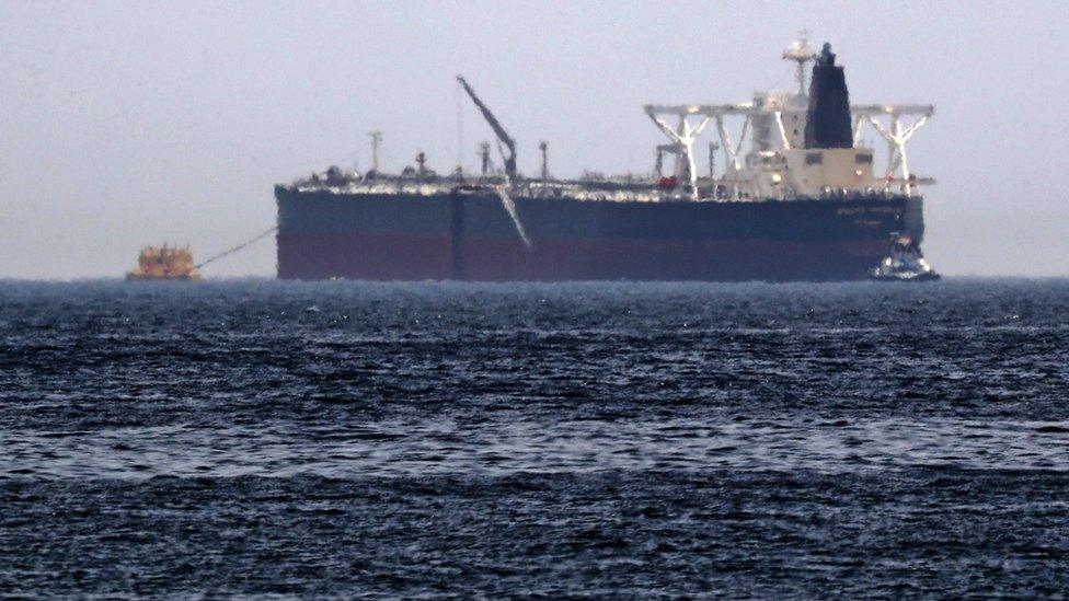
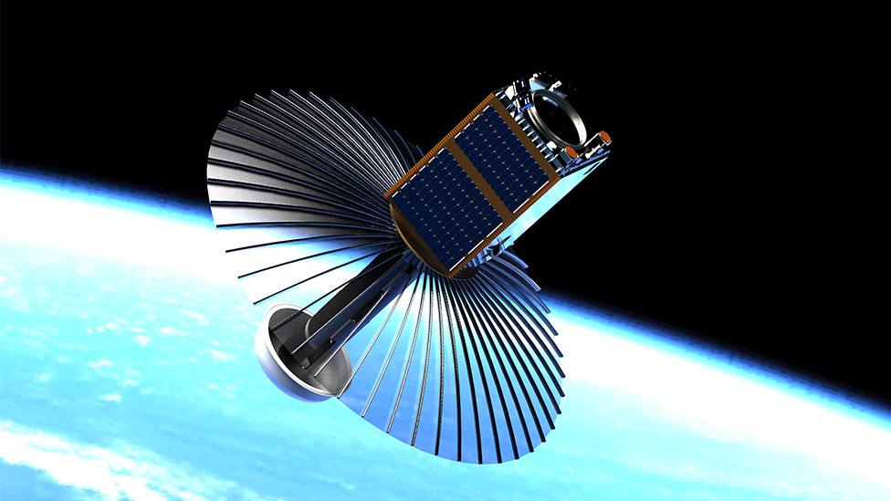
The body of an Iceye satellite is about the size of a suitcase and weighs under 100kg
Jonathan.Amos-INTERNET@bbc.co.uk, external and follow me on Twitter: @BBCAmos, external
- Published24 May 2019
- Published2 April 2019
- Published10 January 2019

- Published17 January 2018
- Published23 November 2018
- Published12 January 2018


