Landsat-9: 'Satellite of record' launches to picture Earth
- Published
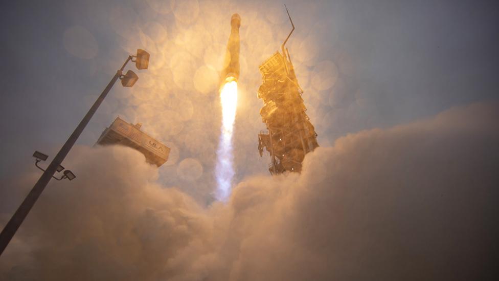
The California weather cleared shortly before lift-off to enable everyone to see Landsat-9's Atlas rocket leave the pad
What is arguably the world's most important satellite has launched to orbit from California.
Landsat-9 is the continuation of a series of Earth-observing spacecraft stretching back almost 50 years.
No other remote-sensing system has kept a longer, continuous record of the changing state of our planet.
Landsat-9 raced skyward on an Atlas rocket from a cloudy and misty Vandenberg Space Force Base at 11:12 local time (19:12 BST).
Landsat-9 will view the Earth from an altitude just above 700km (435 miles)
It was the pictures taken by Apollo astronauts, looking back towards Earth, that cemented the idea of having a permanent eye on our home world. And in 1972, The American space agency (Nasa), in partnership with the US Geological Survey (USGS), proceeded to launch their Earth Resources Technology Satellite.
Today, the ninth imaging spacecraft in what subsequently became known as the Landsat programme, external is ready to assume responsibility for maintaining the legacy.
The Nasa/USGS spacecraft series is the ultimate record of change.
Landsat has catalogued the growth of the megacities, the spread of farming and the evolving outlines of coasts, forests, deserts and glaciers.
It's even been used to monitor from orbit the behaviours of a diverse range of animals - from wildebeest and wombats to woodpeckers and walrus.
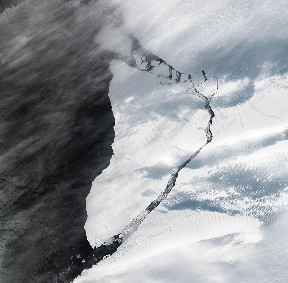
A giant iceberg almost as big as Greater London breaks away from Antarctica
"We've assembled an amazing history of how the planet has changed over the last half century," explained Dr Jeff Masek, Nasa's Landsat-9 project scientist.
"For example, we're able to see the natural disturbances that occur, (such as) fires, hurricanes, and insect outbreaks; and then the long-term recovery of ecosystems that takes place for decades after that.
"And we're able to look specifically at climate and climate-change impacts on ecosystems. We've mapped areas of increased plant cover at high latitudes due to a warming climate. We've also seen areas of vegetation decline in water-limited semi-arid environments."
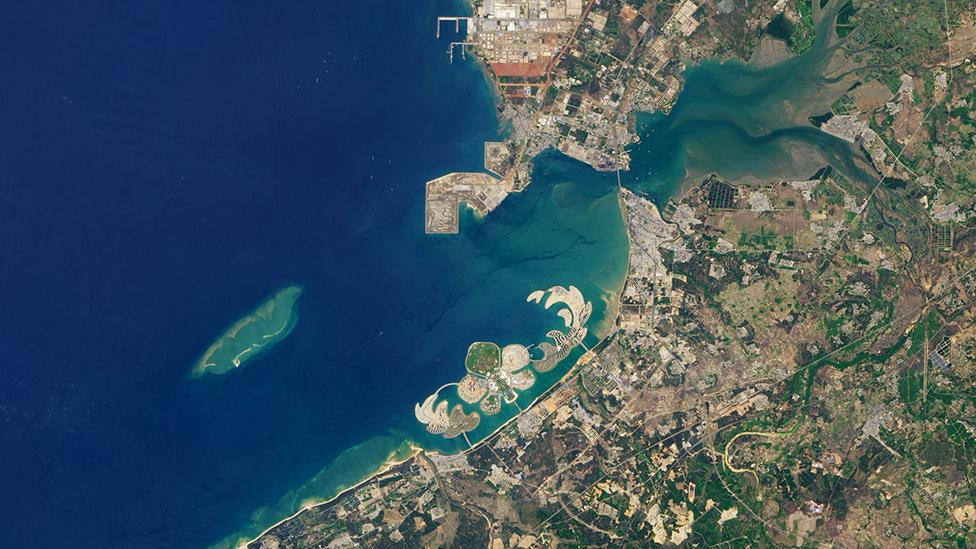
Changing coasts: Ocean Flower Island, an artificial landform built in China's Yangpu Bay
Since 1982 and Landsat-4, the system has been able to resolve features on the ground as small as 30m across. And while there are now plenty of other imaging spacecraft up there that can boast a much sharper view (in the tens of centimetres), none comes close to Landsat for longevity.
This is the power that enables scientists to pull out the real trends in time. Just as important - the data is free and open. Anyone anywhere can access and use Landsat pictures at no cost.

Amazon deforestation: For close to 50 years, Landsat has been tracking Earth's diminishing forest cover
Landsat-9 still has a job of work to do before it can be declared operational.
The spacecraft's Atlas rocket dropped it off at just under 680km in altitude. This requires Landsat-9 to use its own thrusters to climb to an observing height that is a little over 700km.
In coming weeks, after all onboard systems are commissioned, Landsat-9 will start acquiring images that can be compared very carefully with those of its still-flying predecessor, Landsat-8, which was launched in 2013.
This analysis will ensure the colours detected by the new spacecraft can be directly matched to those of the images in the five-decade-old Landsat archive.
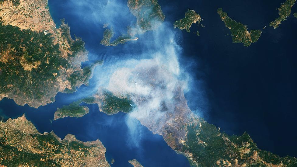
Wildfires ravaged the Greek island of Evia this summer following a prolonged heatwave
For the past six years, Landsat has been flying in a constellation with the European Union's Sentinel-2 satellites. Again, their imagers have been set up meticulously so that they see the Earth in exactly the same way as their American counterparts.
Both the US and the European systems are expensive to build and operate (Landsat-9's lifecycle cost is expected to be close to $1bn), and this has led some to question the value for money of such programmes when commercial Earth observation satellites can be launched for just a few million dollars.
But Dr Karen St Germain, Nasa's Earth science director, argued that private EO operators should really be seen as complementary, as an augmentation to public programmes.
"Those commercial companies allow us to do more, but they aren't a replacement for the kinds of observations that we make with Landsat. As an example, commercial systems, generally - they can observe more often, but they don't observe all the wavelengths we need to do the work we do with Landsat," she told BBC News.
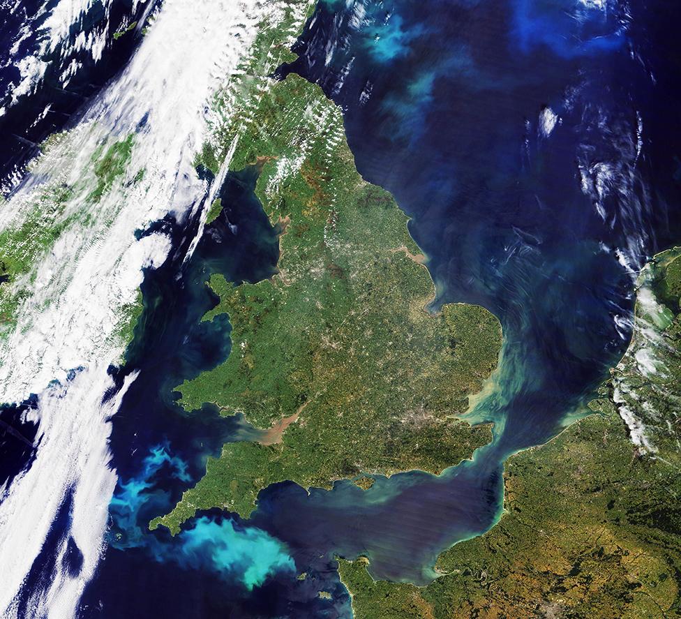
Large blooms of phytoplankton form in the waters off the southwest coast of the UK
And this view was echoed by Dr Will Marshall, the co-founder and CEO of Planet, a San-Francisco-based company that today is operating more than 200 small imagers in orbit.
He said Nasa bought his firm's data to improve its climate models, and that his engineers relied on the high-fidelity nature of Landsat's images to help improve Planet's own products.
"Planet's high spatial and temporal resolution augments the public capabilities of Landsat and Sentinel, in particular enabling the observation of faster dynamic processes and to see smaller features, helping scientists, journalists, and customers move from awareness to action," the entrepreneur told the BBC.
"For example, in agriculture, Landsat and Sentinel data enable greater image accuracy; ours better frequency. And the two together help farmers increase yields substantively more than either alone."
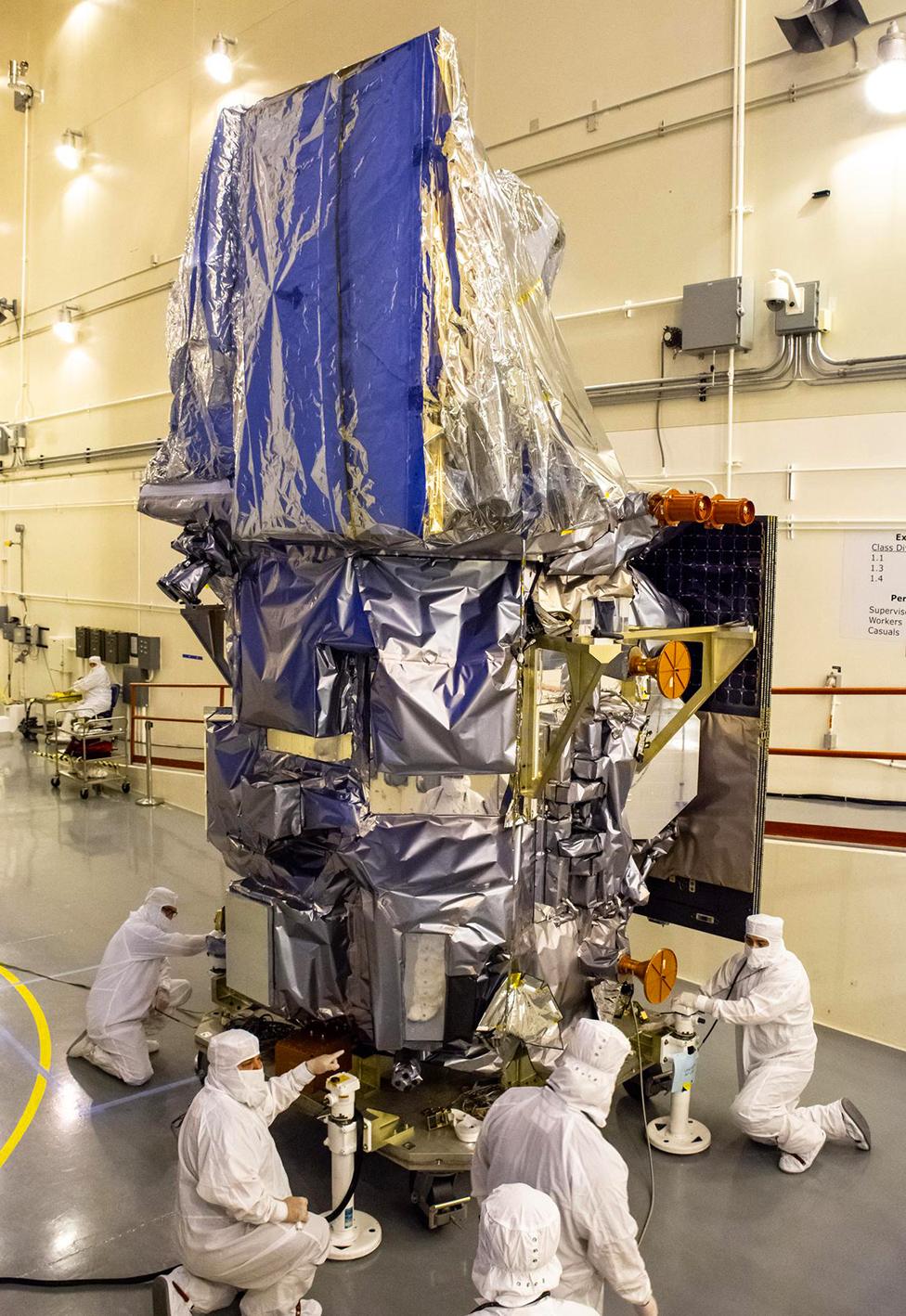
Like its predecessors, Landsat-9 is a joint mission between Nasa and the US Geological Survey
