Weather satellite captures lightning spectacle across Earth
- Published
Watch: a speeded up video of lightning across the Sahel, Europe and Central Africa
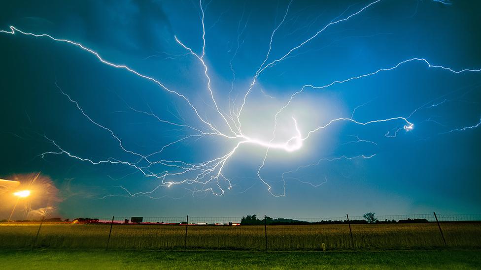
Spectacular movies of lightning spreading across the Earth have just been released by the European weather agency Eumetsat.
They were made by a new instrument that was placed 36,000km above equatorial Africa in December.
The imager, once fully commissioned, will become a key tool for forecasters as they track the emergence of violent storms.
Lightning often precedes heavy rain, hail and even big gusts of wind.
Phil Evans, the director-general of Eumetsat, described the movies as "fantastic".
"The Americans have had an instrument like this over their part of the world for a few years now, but this is the first one for Europe and Africa," he told BBC News.
"Our imager is more sophisticated in terms of resolution and performance, so there's a lot of excitement about how its imagery can be used."

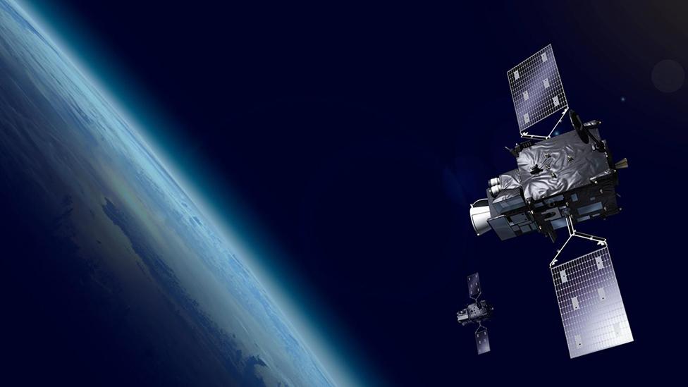
Artwork: Meteosat-12 is part of a multi-billion-euro upgrade to Europe's weather observing system
Eumetsat is the intergovernmental organisation charged with managing Europe's meteorological assets in orbit.
It's currently testing the recently launched Meteosat-12 platform, a next-generation weather-observing spacecraft that scientists expect to initiate a step change in so-called "nowcasting" - the forewarning of challenging atmospheric conditions on very short time horizons, in the order of just hours.
Monitoring lightning behaviour will be central to this capability.
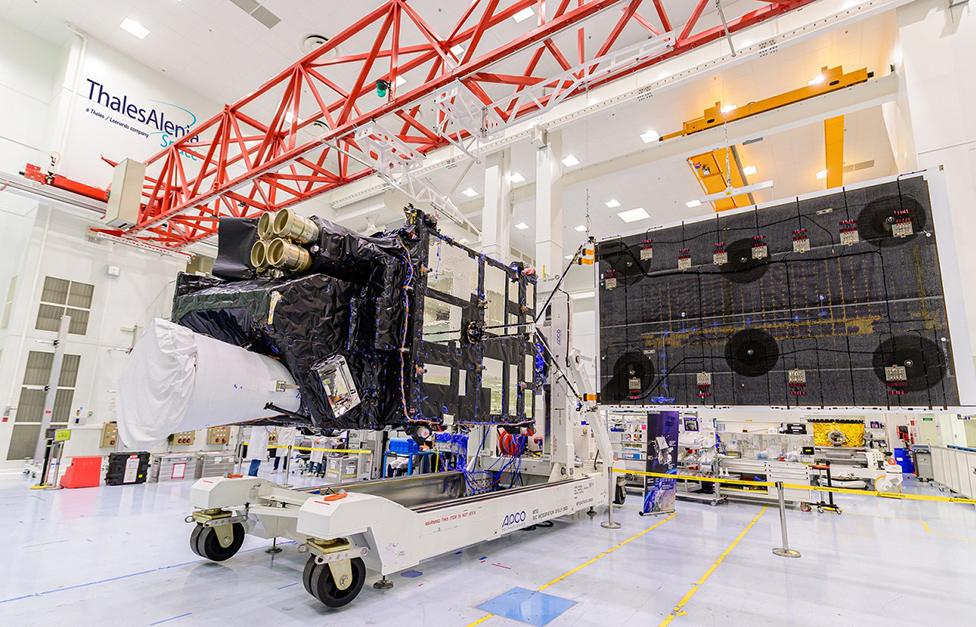
Meteosat-12's lightning detector has four telescopic cameras focused on Europe, Africa, the Middle East and parts of South America.
Watch: On 12 June, the imager tracked a lightning swarm across the UK
Their detectors continuously look for the light pulses produced by cloud-to-ground, cloud-to-cloud and intra-cloud lightning flashes.
They can do this day or night, and will catch even a single lightning bolt.
"The minimum duration of a lightning [detection] is 0.6 milliseconds; that means 1,000 times faster than the blink of an eye," said Guia Pastorini from Leonardo, the Italian aerospace company that designed and built the instrument.
There is an impressive movie of lightning over the UK on 12 June.
"The location of the thunderstorms was captured really clearly from the satellite, and made even more fascinating by the development of a 'Mesoscale Convective System' or MCS," said BBC Weather forecaster Simon King.
"This is a thunderstorm which under certain circumstances grows larger and spawns more thunderstorms. The satellite picks up this area of cloud initially in south-east England but we then see the flashes of lightning develop on its forward edge as it grows and moves north-west."

Lightning is often a tracer for extreme weather
In Europe, forecasters already have very effective ground systems to detect lightning. The ATDNet (Arrival Time Difference Network) senses a discharge from its radio frequency emission. Radar is also used.
"But those lightning networks tend to detect mainly the cloud-to-ground lightning strikes, rather than the cloud-to-cloud, or intra-cloud lightning," explained Simon Keogh, the head of space applications and nowcasting R&D at the UK Met Office.
"Those cloud-to-ground strikes make up only about 10% of the lightning activity in the atmosphere. So, the other 90% is lightning activity within the cloud, which is what the optical satellite is detecting. I see these systems as being totally complementary."

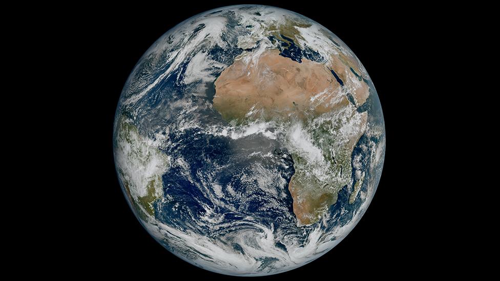
Meteosat-12's view of Earth: Africa in particular should benefit from the new technology
And in Africa, where most lightning on Earth occurs, there are fewer radio frequency systems. The Meteosat information will, therefore, be particularly useful to forecasters.
The same applies to ocean monitoring. The imager is watching what's happening out over the Atlantic, which should improve the safe routing of long haul airliners.
Climate researchers are sure to be interested in the new imager's data. It'll help them develop much better statistics on the frequency of lightning over time.

The lightning imager comprises four separate telescopes (gold cylinders)
Atmospheric chemists, too, will be fascinated. The energy in lightning turns the "unreactive" nitrogen in the air into the "reactive" forms, which rain out as nitrates to fertilise soils.
Another potential benefit would be in helping to improve the models used to forecast where forest fires might start as a result of lightning strikes.
Testing of the spacecraft will continue through this year. The national forecasting agencies, such as the UK Met Office, Meteo France and DWD (the German Meteorological Service), should be using Meteosat-12 information on a routine basis early in 2024.
- Published4 May 2023
- Published13 December 2022
- Published13 December 2010
- Published19 November 2010
